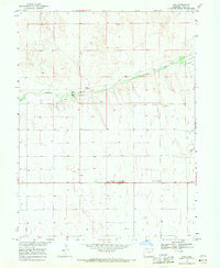
1968 Map of Joes
USGS Topo · Published 1971About this map
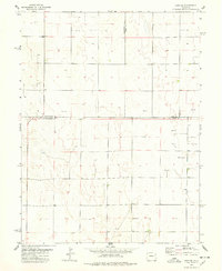
The high plains of Yuma County are defined here by the winding course of the Arikaree River, which cuts through the arid landscape providing a focus for early settlement and agricultural activity. In the late 1960s, the small community of Joes sits at the junction of U. S. Route 36 and U. S. Route 59, serving as a localized hub for the surrounding ranching country. Nearby landmarks like the Mennonite Brethren Ch and Roadside Park indicate the social and civic infrastructure of this rural area.
Find a feature on this map
15 named features on this map. Tap any name to fly to it.
Don’t see what you’re looking for? This feature index may not catch every label — zoom into the map to look around manually.
Map Details
Editions of this 1968 Joes Map
This is the sole edition of this map. No revisions or reprints were ever made.
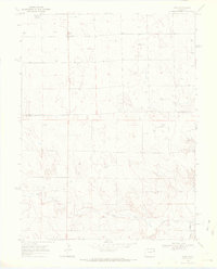
Other maps of this area

1954 · Limon
USGS Topo · 1:250,000

1957 · Limon
USGS Topo · 1:250,000

1958 · Limon
USGS Topo · 1:250,000

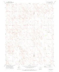
1968 · Abarr SE
USGS Topo · 1:24,000

1968 · Adler Creek
USGS Topo · 1:24,000
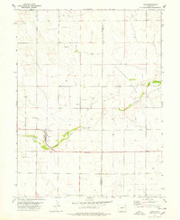
1969 · Kirk
USGS Topo · 1:24,000
1974 · De Nova SE
USGS Topo · 1:24,000

1974 · Abarr
USGS Topo · 1:24,000
1977 · Cope
USGS Topo · 1:24,000
1977 · Cope SE
USGS Topo · 1:24,000