
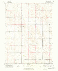
1968 Map of Abarr SE
USGS Topo · Published 1971About this map
Arikaree River flows across the southern edge of this High Plains landscape, which was surveyed in the late 1960s as part of the Department of the Interior's Missouri River Basin development program. The terrain is defined by undulating sand hills and ephemeral drainage patterns, where the sparse human imprint is limited to scattered agricultural activity and resource extraction. Evidence of local ranching and land use appears at the Hines Ranch, while several Gravel Pit locations suggest the importance of local material for road building. Numerous Well sites across the township and range lines reflect the necessity of groundwater management for sustaining life and livestock in this arid portion of Yuma County.
Find a feature on this map
4 named features on this map. Tap any name to fly to it.
Don’t see what you’re looking for? This feature index may not catch every label — zoom into the map to look around manually.
Map Details
Editions of this 1968 Abarr SE Map
This is the sole edition of this map. No revisions or reprints were ever made.
Other maps of this area

1954 · Limon
USGS Topo · 1:250,000

1957 · Limon
USGS Topo · 1:250,000

1958 · Limon
USGS Topo · 1:250,000

1968 · Vernon SW
USGS Topo · 1:24,000

1968 · Joes
USGS Topo · 1:24,000

1968 · Spring Canyon
USGS Topo · 1:24,000

1968 · Adler Creek
USGS Topo · 1:24,000

1969 · Heartstrong
USGS Topo · 1:24,000

1969 · Vernon NW
USGS Topo · 1:24,000
1974 · Abarr
USGS Topo · 1:24,000