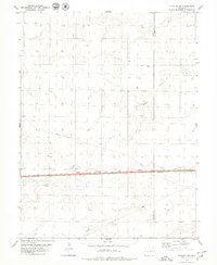
1979 Map of Flagler NE
USGS Topo · Published 1979About this map
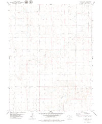
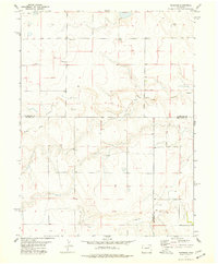
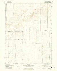
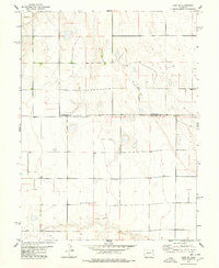
Hell Creek and Buffalo Creek define the drainage patterns of this Kit Carson County landscape, where the High Plains terrain is marked by the subtle incisions of intermittent watercourses. Field checked in the mid-1970s, the map reveals a sparsely populated agricultural expanse structured by a rigid section-line road grid. The presence of numerous Well sites across the township lines indicates the critical role of groundwater management in this semi-arid environment. These specific points of interest offer a detailed view of the localized infrastructure required for ranching and farming operations during this era, providing a precise spatial record of resource extraction and property boundaries in eastern Colorado.
Find a feature on this map
3 named features on this map. Tap any name to fly to it.
Don’t see what you’re looking for? This feature index may not catch every label — zoom into the map to look around manually.
Map Details
Editions of this 1979 Flagler NE Map
This is the sole edition of this map. No revisions or reprints were ever made.
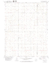
Other maps of this area

1954 · Limon
USGS Topo · 1:250,000

1957 · Limon
USGS Topo · 1:250,000

1958 · Limon
USGS Topo · 1:250,000
1977 · Thurman
USGS Topo · 1:24,000
1977 · Anton SE
USGS Topo · 1:24,000
1977 · Cope SW
USGS Topo · 1:24,000
1979 · Flagler SW
USGS Topo · 1:24,000
1979 · Flagler NW
USGS Topo · 1:24,000
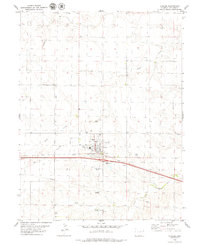
1979 · Flagler
USGS Topo · 1:24,000
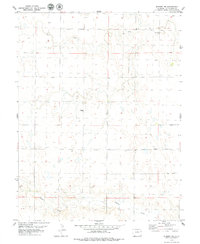
1979 · Seibert NW
USGS Topo · 1:24,000