1979 Map of Flagler
USGS Topo · Published 1979About this map
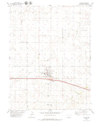
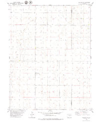
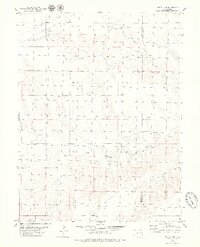
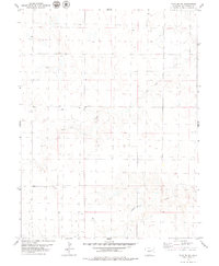
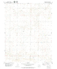
Flagler serves as the central hub of this Kit Carson County landscape, situated along the critical transit corridor of the Chicago Rock Island and Pacific railroad. The town's layout is meticulously detailed, showing an Athletic Field, several Radio Towers, and a municipal Water Tank that supported the community's growth in the late 1970s. Southeast of the town center, the Flagler Cem and the Flagler Aviation Service airfield highlight the intersection of local history and modern infrastructure.
Find a feature on this map
19 named features on this map. Tap any name to fly to it.
Don’t see what you’re looking for? This feature index may not catch every label — zoom into the map to look around manually.
Map Details
Editions of this 1979 Flagler Map
This is the sole edition of this map. No revisions or reprints were ever made.
Other maps of this area

1954 · Limon
USGS Topo · 1:250,000

1957 · Limon
USGS Topo · 1:250,000

1958 · Limon
USGS Topo · 1:250,000
1978 · Hugo 4 NW
USGS Topo · 1:24,000
1979 · Hugo 4 NE
USGS Topo · 1:24,000
1979 · Flagler SW
USGS Topo · 1:24,000
1979 · Flagler NW
USGS Topo · 1:24,000
1979 · Hugo 4 NW
USGS Topo · 1:24,000
1979 · Flagler NE
USGS Topo · 1:24,000
1979 · Seibert NW
USGS Topo · 1:24,000