
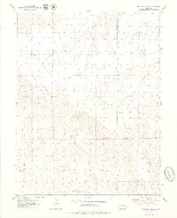
1979 Map of Hugo 4 NE
USGS Topo · Published 1979About this map
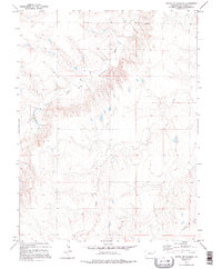
The South Fork Republican River winds through this Kit Carson County landscape, carving a wide valley across the high plains of eastern Colorado. This 1970s record shows a region defined by its sparse drainage systems and the essential infrastructure of ranching and industry. Numerous wells and a tank are marked across the terrain, indicating the vital importance of groundwater management in this arid environment. Evidence of local extraction is visible at the Gravel Pit located near the river's path. Other significant watercourses, including Sand Creek and Spring Creek, converge here, illustrating the natural drainage patterns that have historically shaped land use and property boundaries in this open territory.
Find a feature on this map
6 named features on this map. Tap any name to fly to it.
Don’t see what you’re looking for? This feature index may not catch every label — zoom into the map to look around manually.
Map Details
Editions of this 1979 Hugo 4 NE Map
2 editions found
Other maps of this area

1954 · Limon
USGS Topo · 1:250,000

1957 · Limon
USGS Topo · 1:250,000

1958 · Limon
USGS Topo · 1:250,000

1978 · Hugo 4 NW
USGS Topo · 1:24,000

1979 · Flagler SW
USGS Topo · 1:24,000

1979 · Flagler
USGS Topo · 1:24,000
1979 · Hugo 4 SE
USGS Topo · 1:24,000
1979 · Hugo 4 NW
USGS Topo · 1:24,000
1979 · Stratton 3 SW
USGS Topo · 1:24,000
1979 · Bledsoe Ranch
USGS Topo · 1:24,000