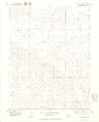
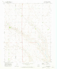
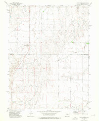
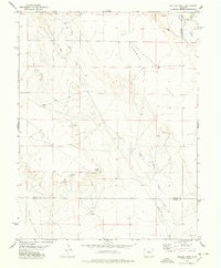
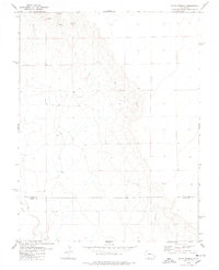
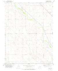
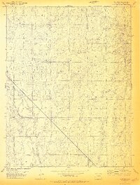
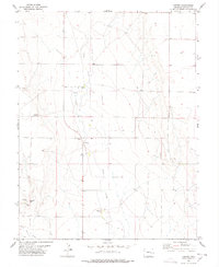
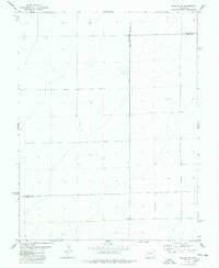
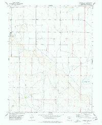
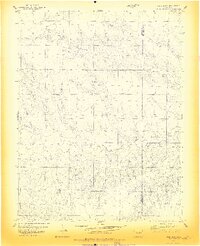
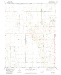
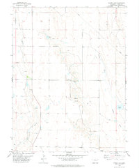
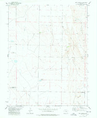
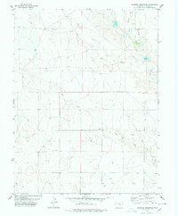
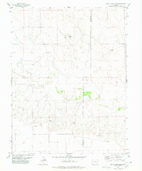
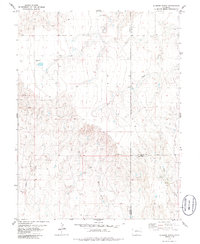
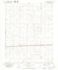
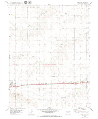
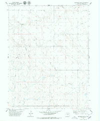
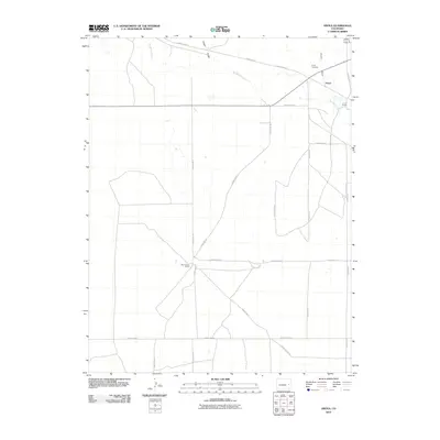
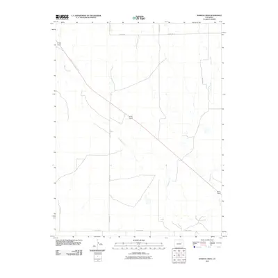
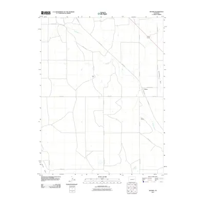
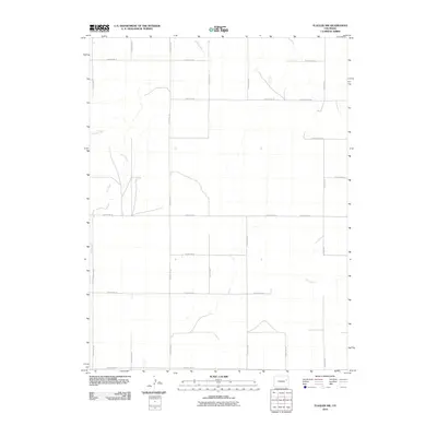
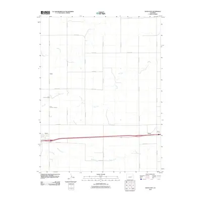
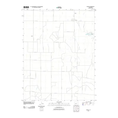
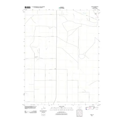
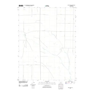
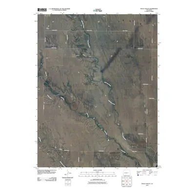
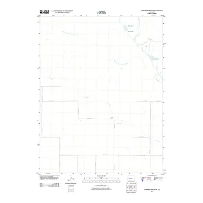
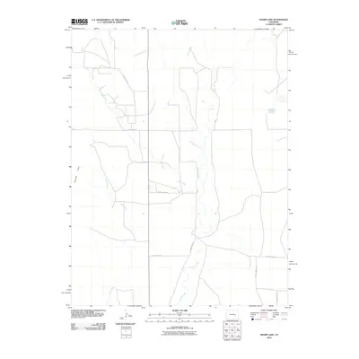
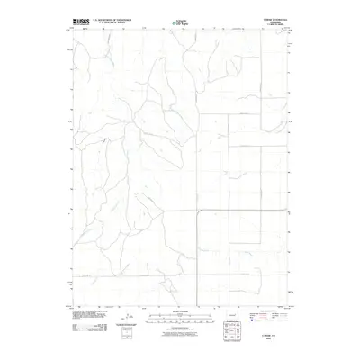
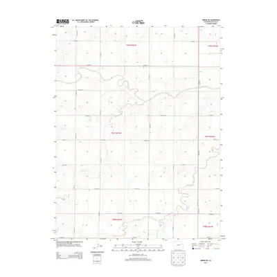
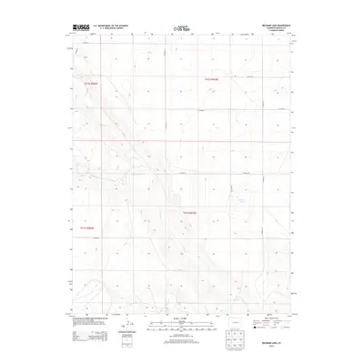
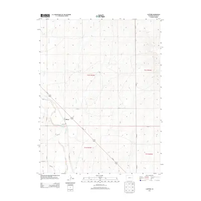
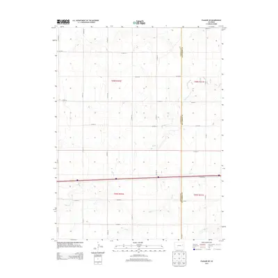
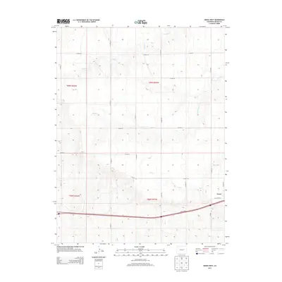
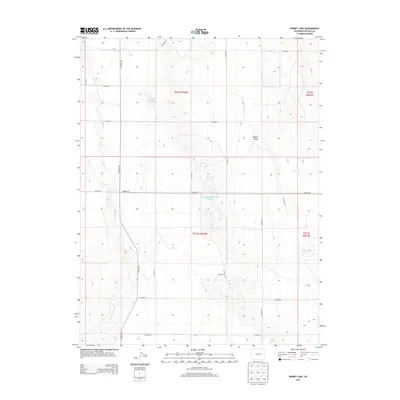
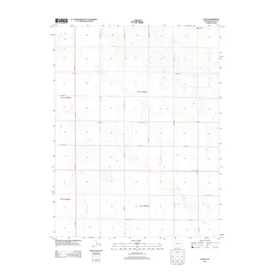
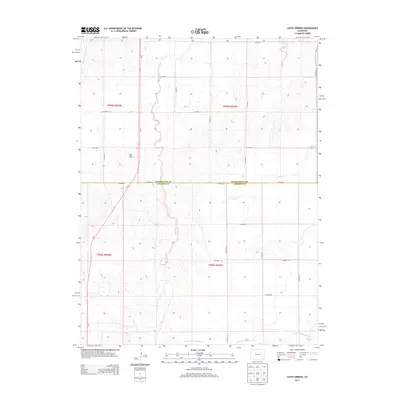
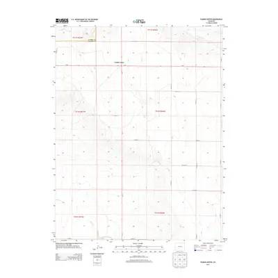
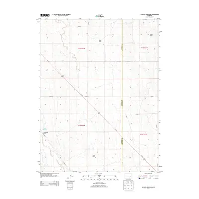
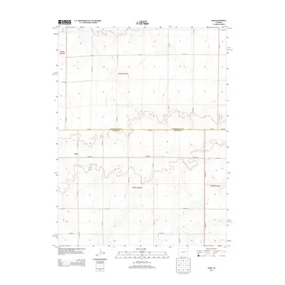
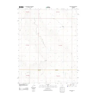
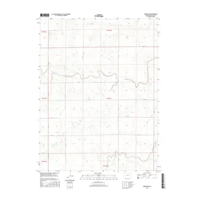
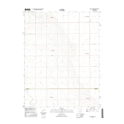
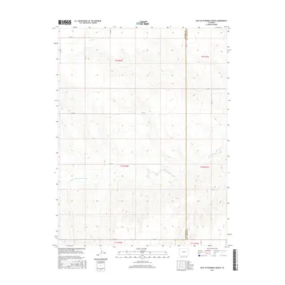
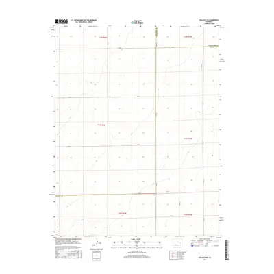
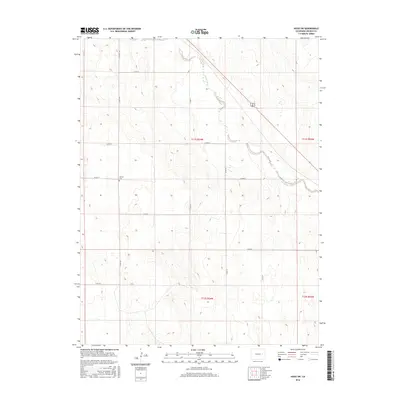
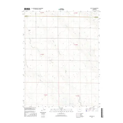
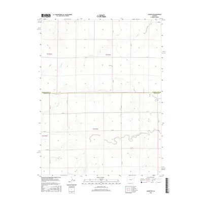
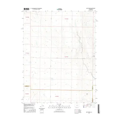
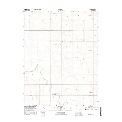
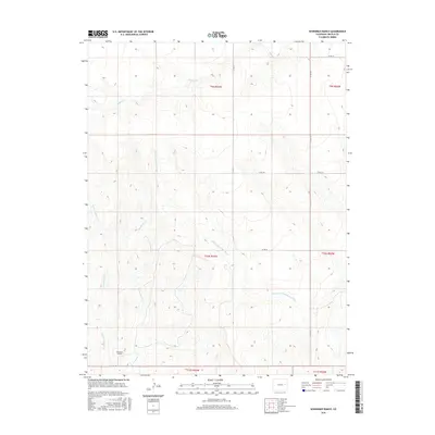
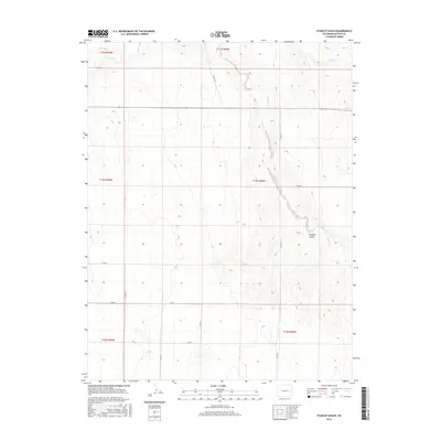
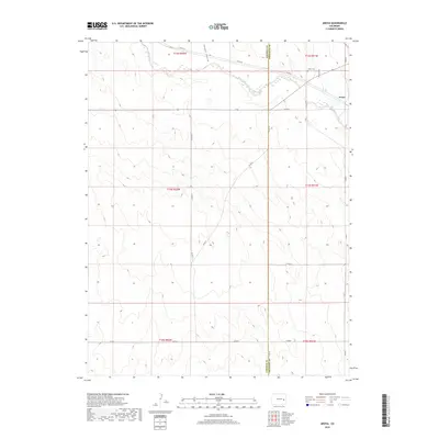
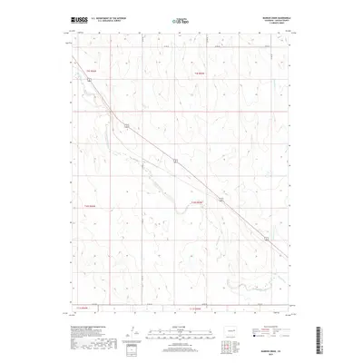
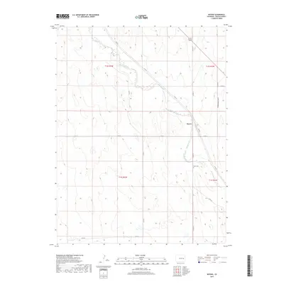
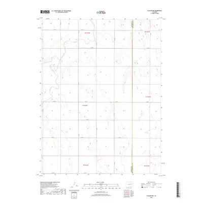
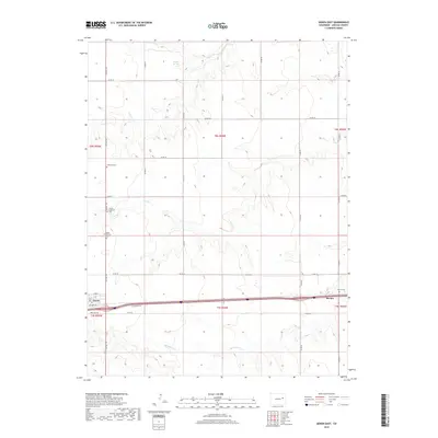
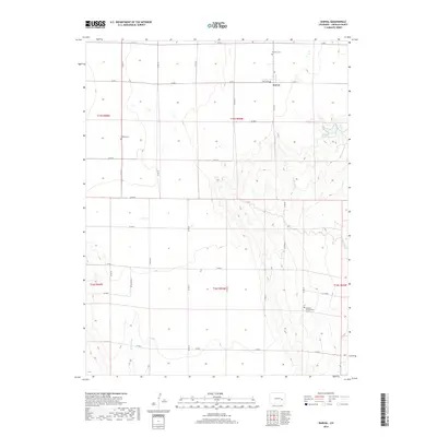
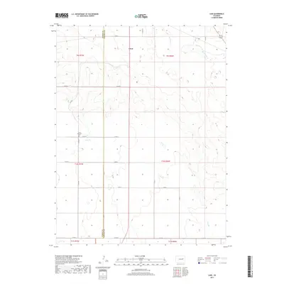
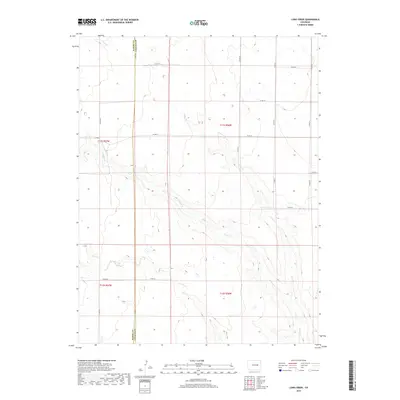
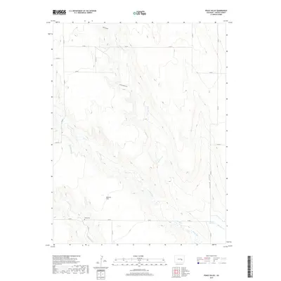
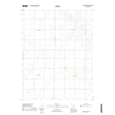
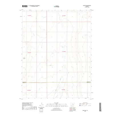
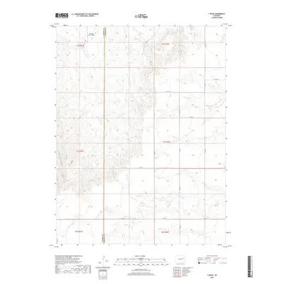
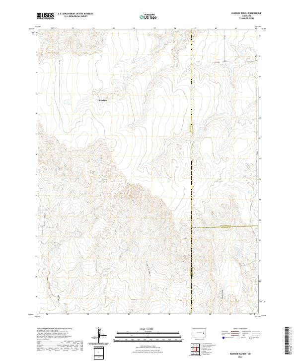
1979 Map of Bledsoe Ranch
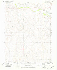
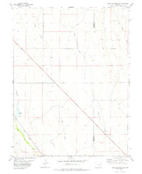
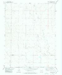
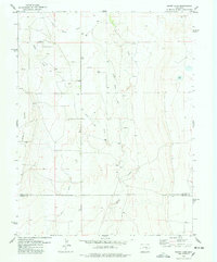
USGS Topo · Published 1979About this map
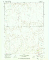
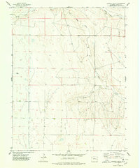
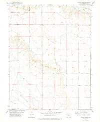
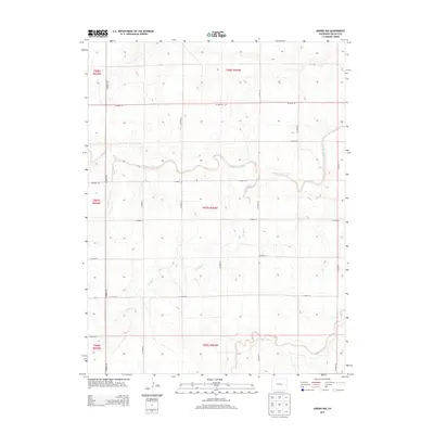
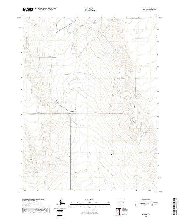
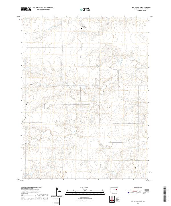
Bledsoe Ranch serves as a primary reference point in this corner of the High Plains, where the borders of Lincoln, Kit Carson, and Cheyenne counties converge. The landscape is defined by an intricate network of intermittent drainages, including Wild Horse Creek and Sand Creek, which carve through the high prairie terrain. These watercourses, alongside named features like Folger Gulch and Aroya Gulch, suggest a reliance on seasonal water management in a semi-arid environment, further evidenced by the various scattered Tank and Well sites across the sections.
Find a feature on this map
15 named features on this map. Tap any name to fly to it.
Don’t see what you’re looking for? This feature index may not catch every label — zoom into the map to look around manually.
Map Details
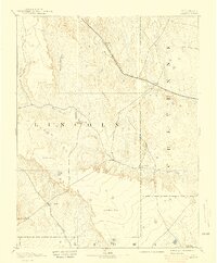
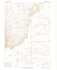
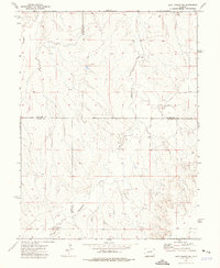
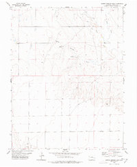
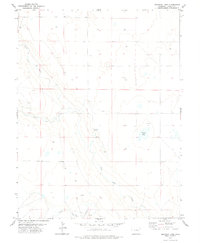
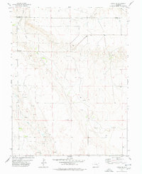
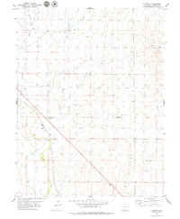
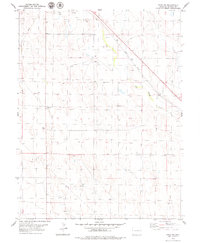
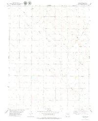
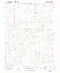
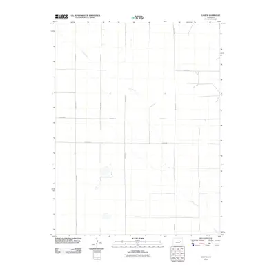
Editions of this 1979 Bledsoe Ranch Map
2 editions found
Historical Maps of Wareland Through Time
290 maps found

1889 Sanborn
Lincoln County, CO

1891 Arroyo
Lincoln County, CO

1891 Sanborn
Lincoln County, CO
1893 Arroyo
Lincoln County, CO
1893 Sanborn
Lincoln County, CO
1970 Four Corners
Lincoln County, CO
1970 Long Creek
Lincoln County, CO
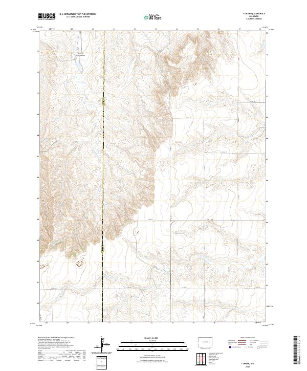
1970 T Draw
Lincoln County, CO
1973 Last Chance SW
Lincoln County, CO
1973 Lindon SW
Lincoln County, CO
1973 Lusto Springs
Lincoln County, CO
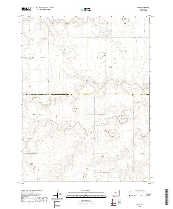
1973 Shaw
Lincoln County, CO
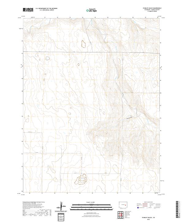
1975 Stanley Gulch
Lincoln County, CO
1977 Punkin Center
Lincoln County, CO
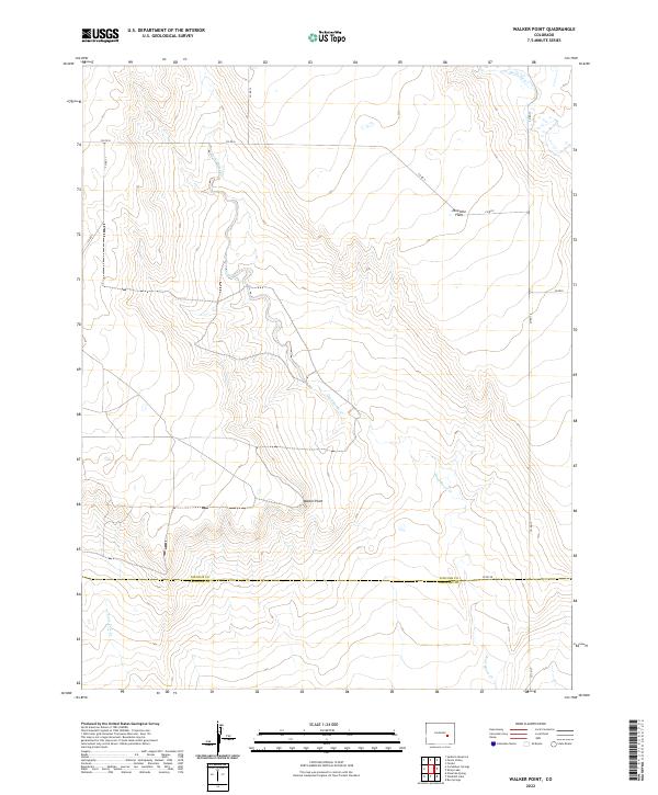
1977 Walker Point
Lincoln County, CO
1978 Aroya
Lincoln County, CO
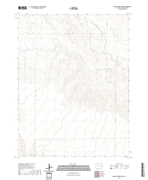
1978 Barrel Springs Draw
Lincoln County, CO
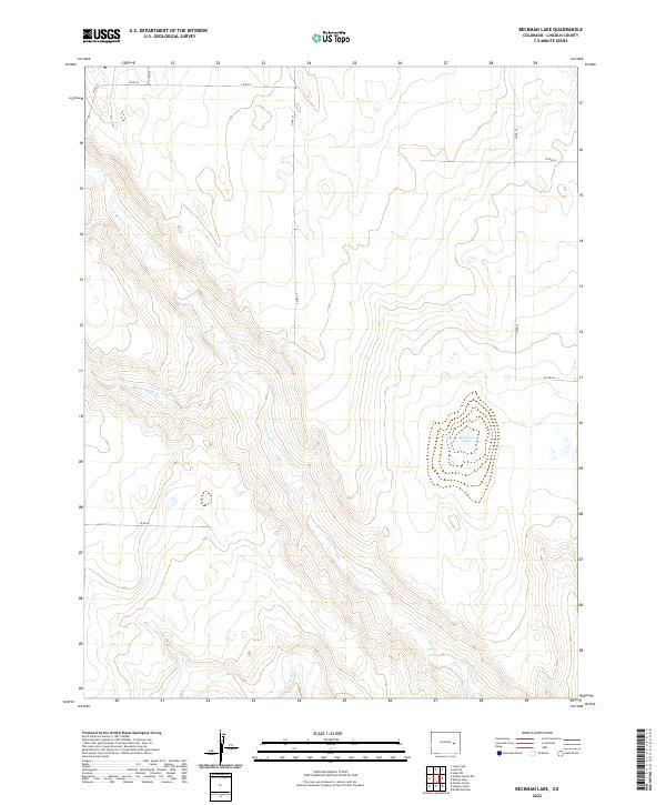
1978 Beckman Lake
Lincoln County, CO
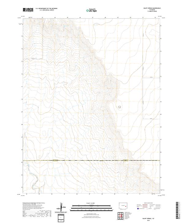
1978 Bluff Spring
Lincoln County, CO
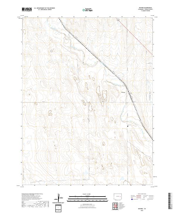
1978 Boyero
Lincoln County, CO
1978 Clifford
Lincoln County, CO

1978 Cockleburr Springs
Lincoln County, CO
1978 Forder
Lincoln County, CO
1978 Galatea SW
Lincoln County, CO
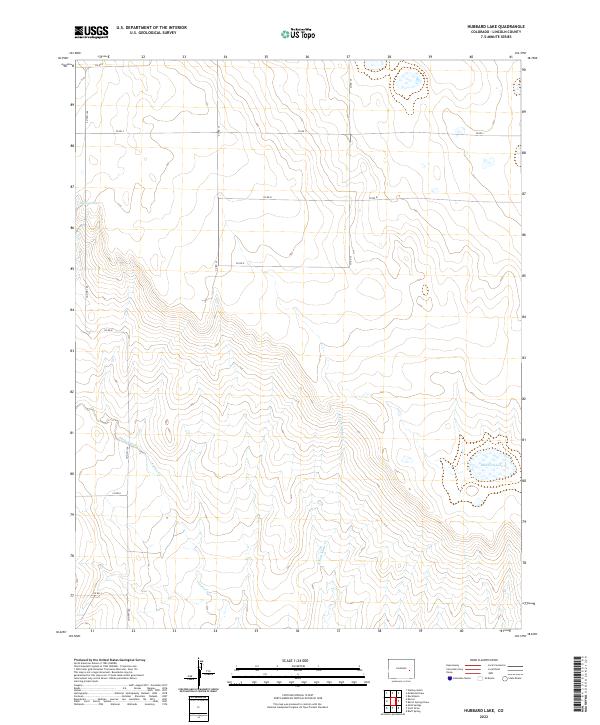
1978 Hubbard Lake
Lincoln County, CO
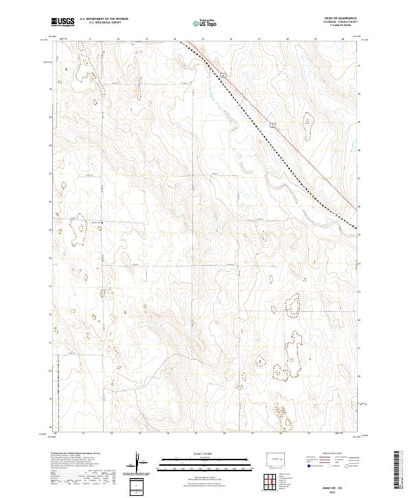
1978 Hugo 4 NW
Lincoln County, CO
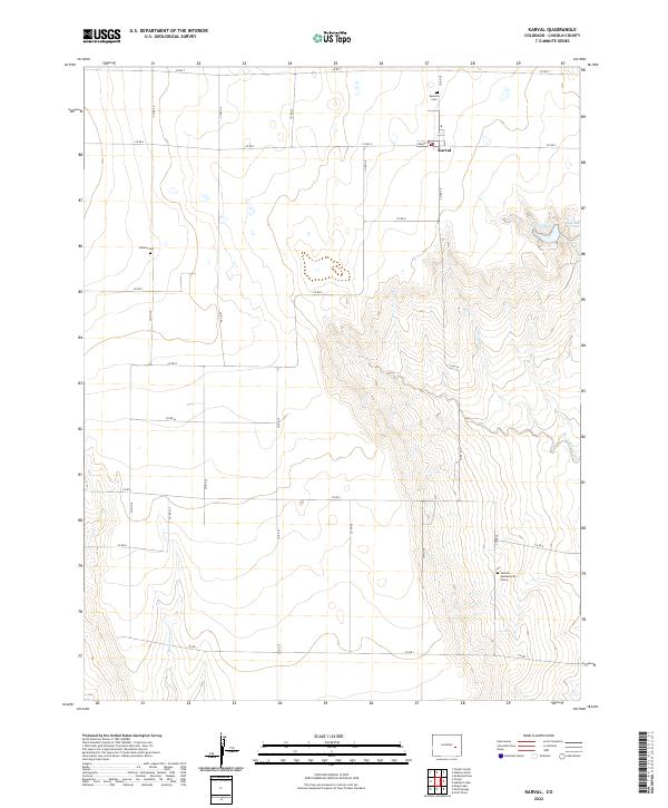
1978 Karval
Lincoln County, CO
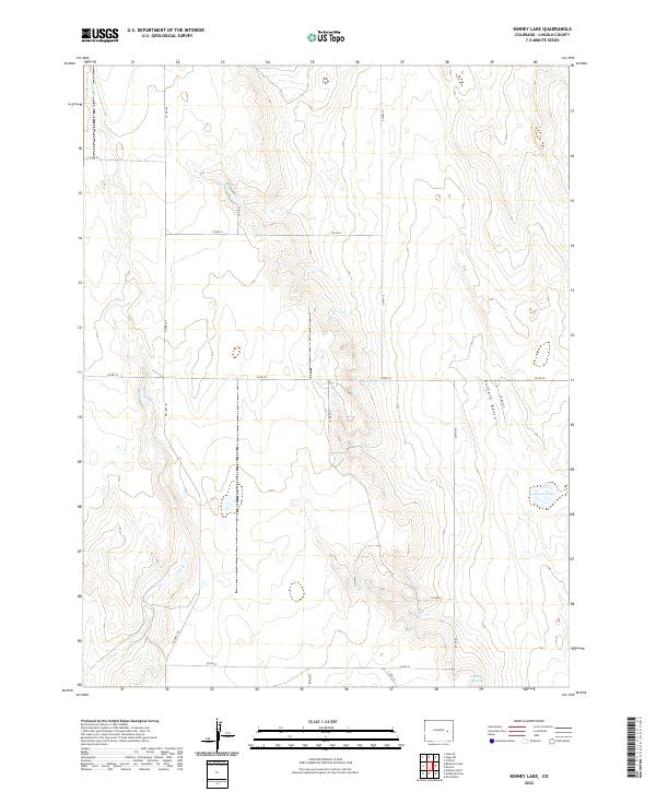
1978 Kinney Lake
Lincoln County, CO
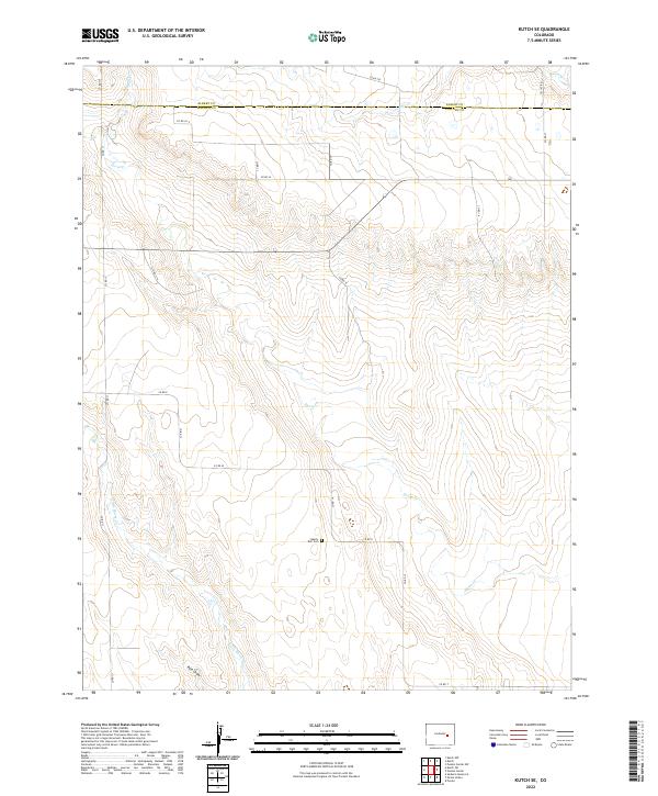
1978 Kutch SE
Lincoln County, CO
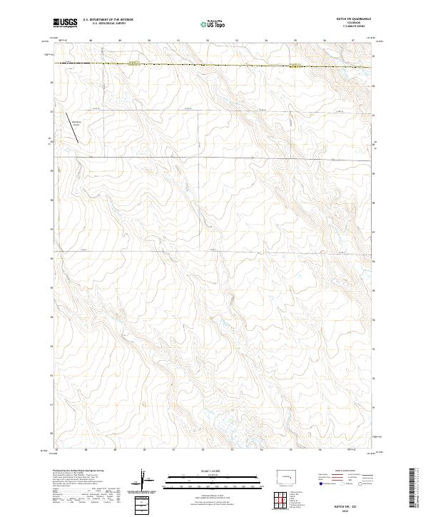
1978 Kutch SW
Lincoln County, CO
1978 Mc Kenzie Draw
Lincoln County, CO
1978 Metz Springs
Lincoln County, CO
1978 Peace Valley
Lincoln County, CO
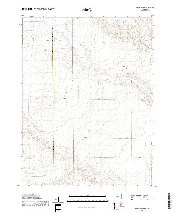
1978 Punkin Center NW
Lincoln County, CO
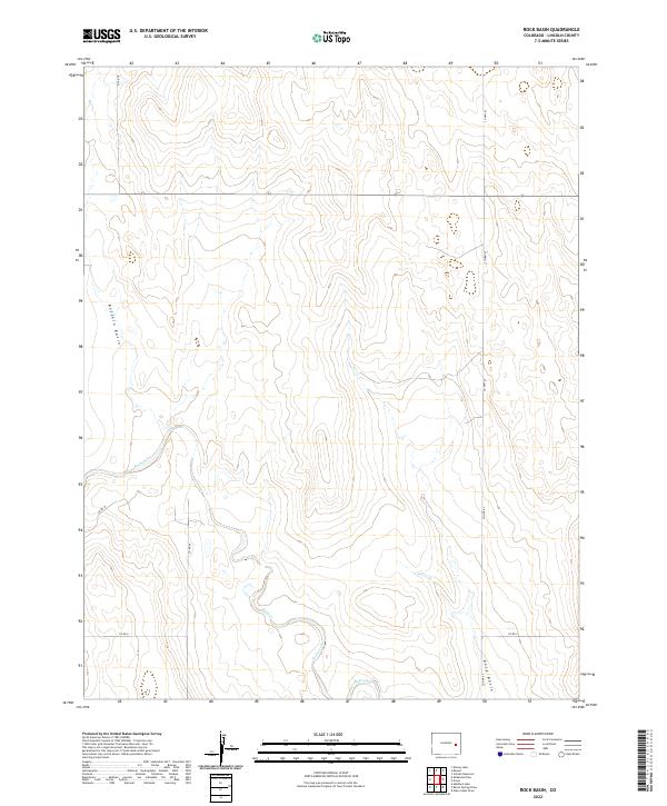
1978 Rock Basin
Lincoln County, CO
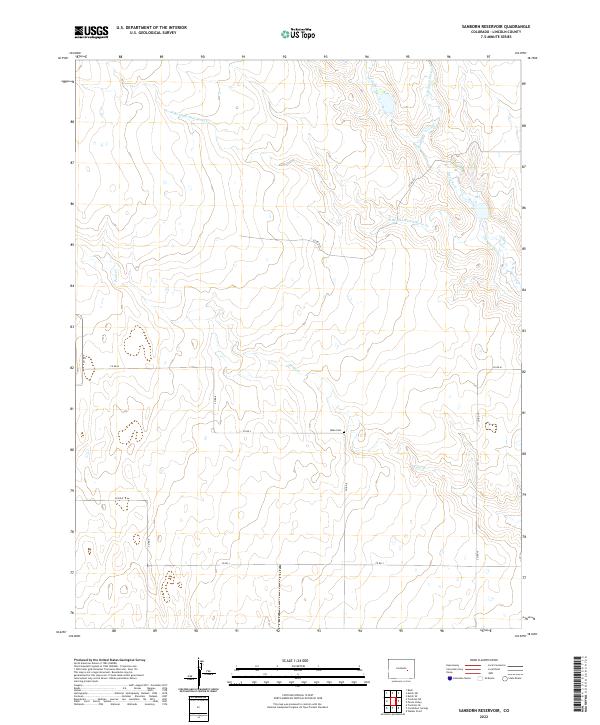
1978 Sanborn Reservoir
Lincoln County, CO
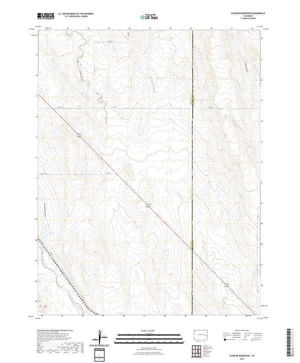
1978 Schafer Reservoir
Lincoln County, CO
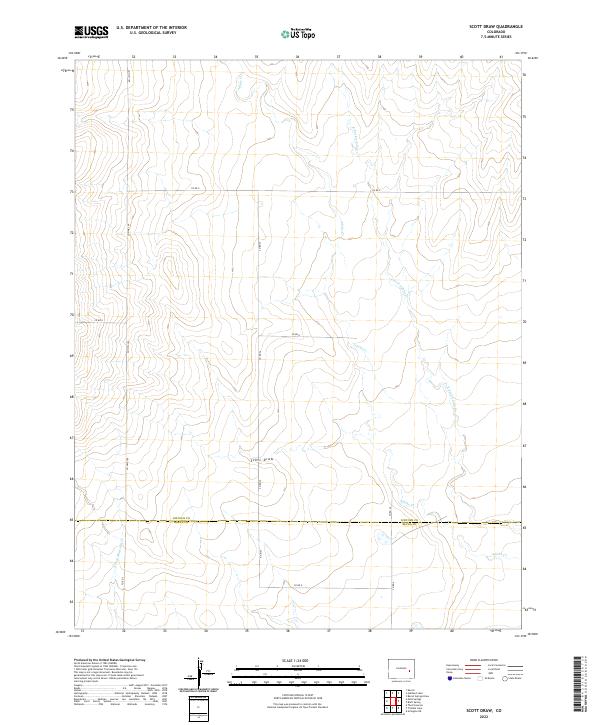
1978 Scott Draw
Lincoln County, CO
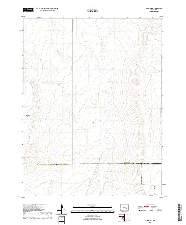
1978 Sharp Lake
Lincoln County, CO
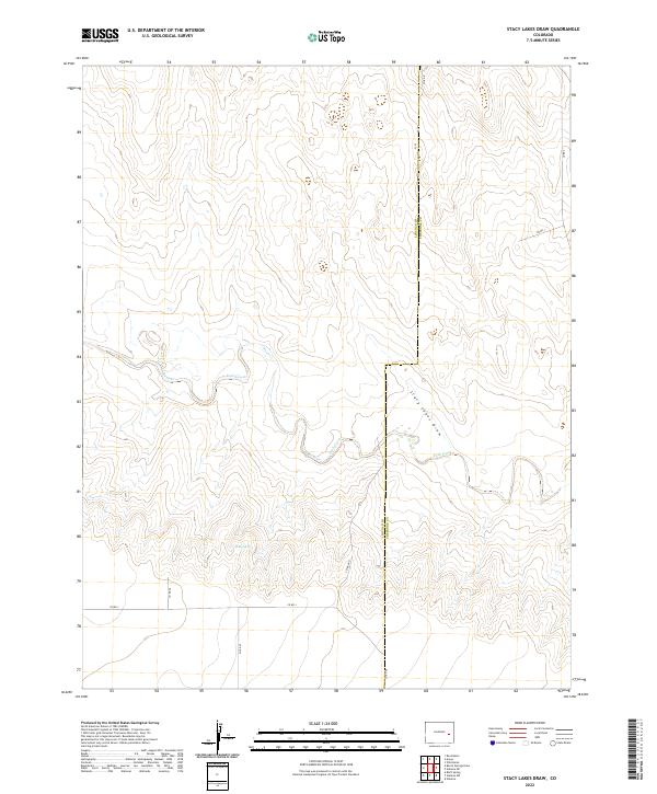
1978 Stacy Lakes Draw
Lincoln County, CO
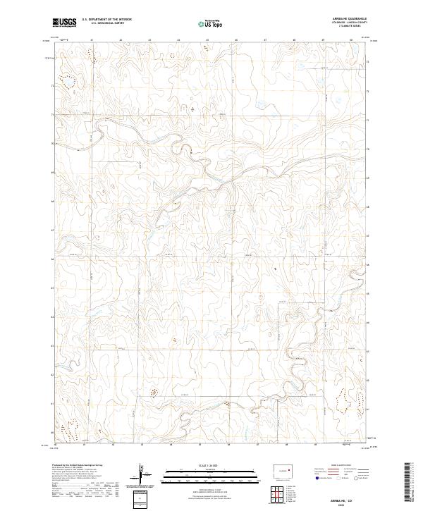
1979 Arriba NE
Lincoln County, CO
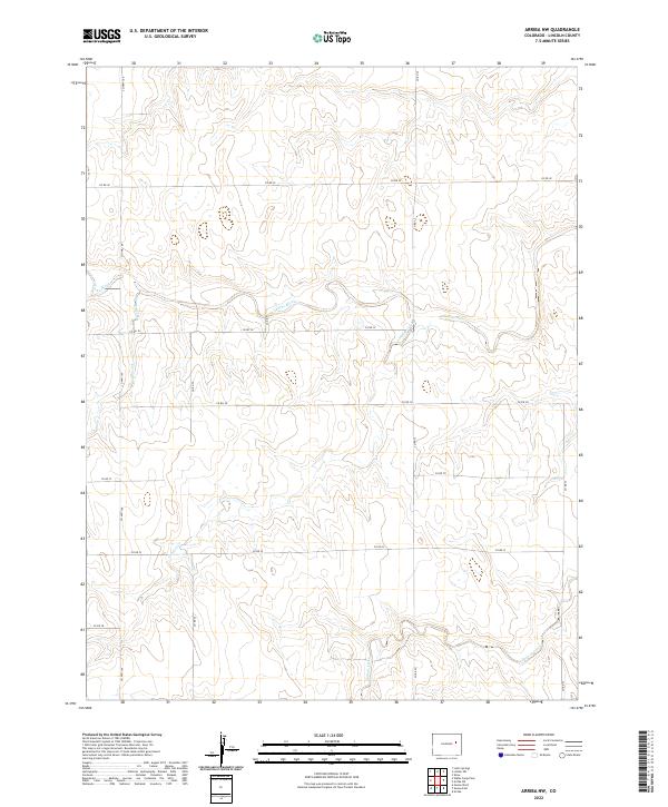
1979 Arriba NW
Lincoln County, CO
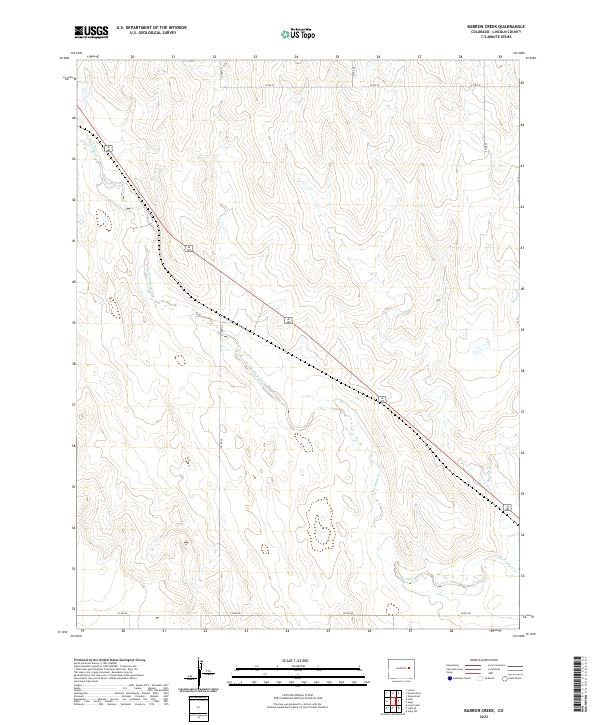
1979 Barron Creek
Lincoln County, CO
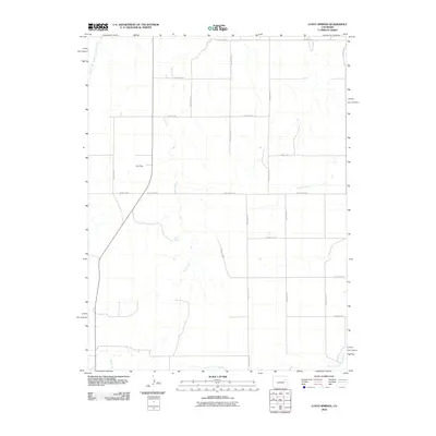
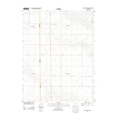
1979 Bledsoe Ranch
Lincoln County, CO
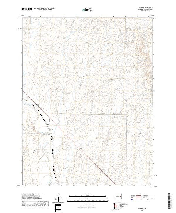
1979 Clifford
Lincoln County, CO
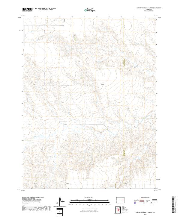
1979 East Of Sevenmile Ranch
Lincoln County, CO
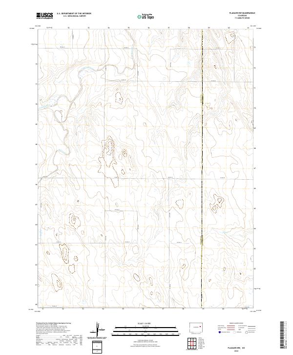
1979 Flagler NW
Lincoln County, CO
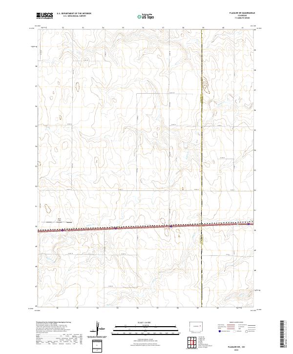
1979 Flagler SW
Lincoln County, CO
1979 Genoa East
Lincoln County, CO
1979 Hugo SW
Lincoln County, CO
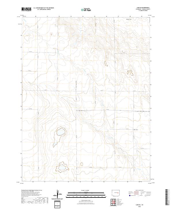
1979 Lake SE
Lincoln County, CO
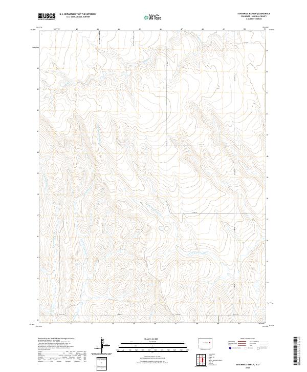
1979 Sevenmile Ranch
Lincoln County, CO
1979 Walks Camp Park
Lincoln County, CO
1980 Genoa West
Lincoln County, CO
1984 Karval
Lincoln County, CO
2010 Aroya
Lincoln County, CO
2010 Arriba NE
Lincoln County, CO
2010 Arriba NW
Lincoln County, CO
2010 Barrel Springs Draw
Lincoln County, CO
2010 Barron Creek
Lincoln County, CO
2010 Beckman Lake
Lincoln County, CO
2010 Bledsoe Ranch
Lincoln County, CO
2010 Bluff Spring
Lincoln County, CO
2010 Boyero
Lincoln County, CO
2010 Clifford
Lincoln County, CO
2010 Cockleburr Springs
Lincoln County, CO
2010 East of Sevenmile Ranch
Lincoln County, CO
2010 Flagler NW
Lincoln County, CO
2010 Flagler SW
Lincoln County, CO
2010 Forder
Lincoln County, CO
2010 Galatea SW
Lincoln County, CO
2010 Genoa East
Lincoln County, CO
2010 Genoa West
Lincoln County, CO
2010 Hubbard Lake
Lincoln County, CO
2010 Hugo SW
Lincoln County, CO
2010 Karval
Lincoln County, CO
2010 Kinney Lake
Lincoln County, CO
2010 Kutch SE
Lincoln County, CO
2010 Kutch SW
Lincoln County, CO
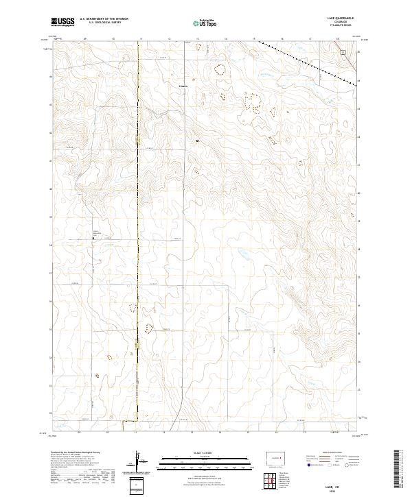
2010 Lake
Lincoln County, CO
2010 Lake SE
Lincoln County, CO
2010 Last Chance SW
Lincoln County, CO
2010 Lindon SW
Lincoln County, CO
2010 Long Creek
Lincoln County, CO
2010 Lusto Springs
Lincoln County, CO
2010 McKenzie Draw
Lincoln County, CO
2010 Metz Springs
Lincoln County, CO
2010 Peace Valley
Lincoln County, CO
2010 Punkin Center
Lincoln County, CO
2010 Punkin Center NW
Lincoln County, CO
2010 Rock Basin
Lincoln County, CO
2010 Sanborn Reservoir
Lincoln County, CO
2010 Schafer Reservoir
Lincoln County, CO
2010 Scott Draw
Lincoln County, CO
2010 Sevenmile Ranch
Lincoln County, CO
2010 Sharp Lake
Lincoln County, CO
2010 Shaw
Lincoln County, CO
2010 Stacy Lakes Draw
Lincoln County, CO
2010 Stanley Gulch
Lincoln County, CO
2010 T Draw
Lincoln County, CO
2010 Walker Point
Lincoln County, CO
2010 Walks Camp Park
Lincoln County, CO
2013 Aroya
Lincoln County, CO
2013 Arriba NE
Lincoln County, CO
2013 Arriba NW
Lincoln County, CO
2013 Barrel Springs Draw
Lincoln County, CO
2013 Barron Creek
Lincoln County, CO
2013 Beckman Lake
Lincoln County, CO
2013 Bledsoe Ranch
Lincoln County, CO
2013 Bluff Spring
Lincoln County, CO
2013 Boyero
Lincoln County, CO
2013 Clifford
Lincoln County, CO
2013 Cockleburr Springs
Lincoln County, CO
2013 East of Sevenmile Ranch
Lincoln County, CO
2013 Flagler NW
Lincoln County, CO
2013 Flagler SW
Lincoln County, CO
2013 Forder
Lincoln County, CO
2013 Galatea SW
Lincoln County, CO
2013 Genoa East
Lincoln County, CO
2013 Genoa West
Lincoln County, CO
2013 Hubbard Lake
Lincoln County, CO
2013 Hugo SW
Lincoln County, CO
2013 Karval
Lincoln County, CO
2013 Kinney Lake
Lincoln County, CO
2013 Kutch SE
Lincoln County, CO
2013 Kutch SW
Lincoln County, CO
2013 Lake
Lincoln County, CO
2013 Lake SE
Lincoln County, CO
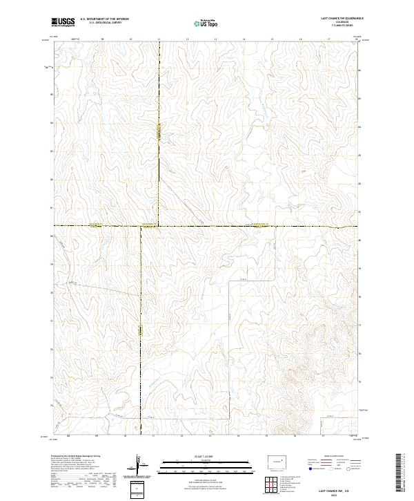
2013 Last Chance SW
Lincoln County, CO
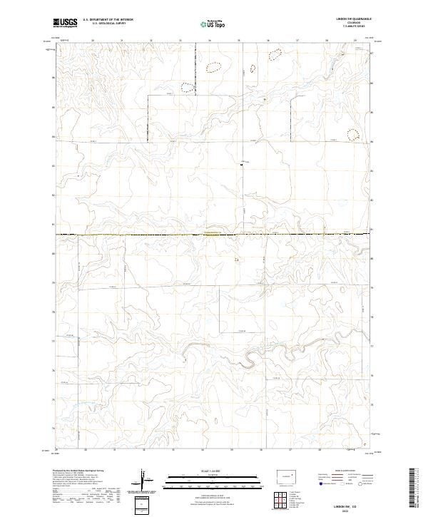
2013 Lindon SW
Lincoln County, CO
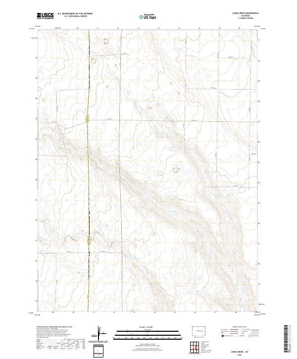
2013 Long Creek
Lincoln County, CO
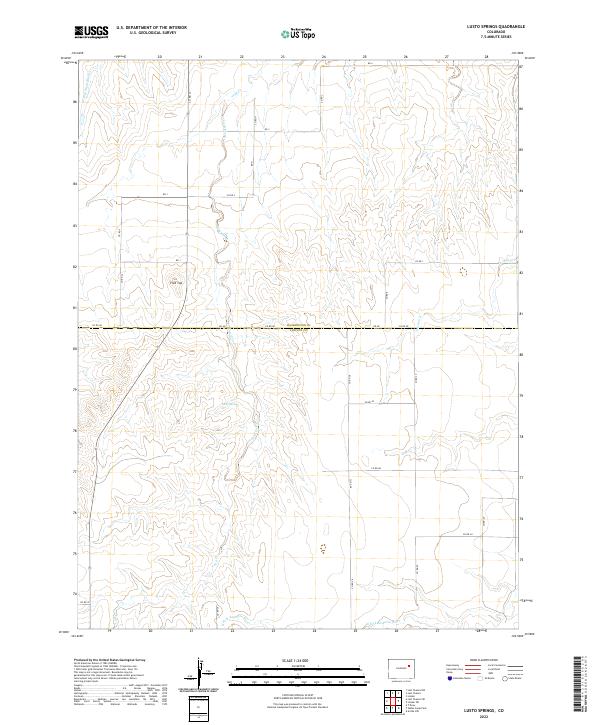
2013 Lusto Springs
Lincoln County, CO
2013 McKenzie Draw
Lincoln County, CO
2013 Metz Springs
Lincoln County, CO
2013 Peace Valley
Lincoln County, CO
2013 Punkin Center
Lincoln County, CO
2013 Punkin Center NW
Lincoln County, CO
2013 Rock Basin
Lincoln County, CO
2013 Sanborn Reservoir
Lincoln County, CO
2013 Schafer Reservoir
Lincoln County, CO
2013 Scott Draw
Lincoln County, CO
2013 Sevenmile Ranch
Lincoln County, CO
2013 Sharp Lake
Lincoln County, CO
2013 Shaw
Lincoln County, CO
2013 Stacy Lakes Draw
Lincoln County, CO
2013 Stanley Gulch
Lincoln County, CO
2013 T Draw
Lincoln County, CO
2013 Walker Point
Lincoln County, CO
2013 Walks Camp Park
Lincoln County, CO
2016 Aroya
Lincoln County, CO
2016 Arriba NE
Lincoln County, CO
2016 Arriba NW
Lincoln County, CO
2016 Barrel Springs Draw
Lincoln County, CO

2016 Barron Creek
Lincoln County, CO
2016 Beckman Lake
Lincoln County, CO
2016 Bledsoe Ranch
Lincoln County, CO
2016 Bluff Spring
Lincoln County, CO
2016 Boyero
Lincoln County, CO
2016 Clifford
Lincoln County, CO
2016 Cockleburr Springs
Lincoln County, CO
2016 East of Sevenmile Ranch
Lincoln County, CO
2016 Flagler NW
Lincoln County, CO
2016 Flagler SW
Lincoln County, CO
2016 Forder
Lincoln County, CO
2016 Galatea SW
Lincoln County, CO
2016 Genoa East
Lincoln County, CO
2016 Genoa West
Lincoln County, CO
2016 Hubbard Lake
Lincoln County, CO
2016 Hugo SW
Lincoln County, CO
2016 Karval
Lincoln County, CO
2016 Kinney Lake
Lincoln County, CO
2016 Kutch SE
Lincoln County, CO
2016 Kutch SW
Lincoln County, CO
2016 Lake
Lincoln County, CO
2016 Lake SE
Lincoln County, CO
2016 Last Chance SW
Lincoln County, CO
2016 Lindon SW
Lincoln County, CO
2016 Long Creek
Lincoln County, CO
2016 Lusto Springs
Lincoln County, CO
2016 McKenzie Draw
Lincoln County, CO
2016 Metz Springs
Lincoln County, CO
2016 Peace Valley
Lincoln County, CO
2016 Punkin Center
Lincoln County, CO
2016 Punkin Center NW
Lincoln County, CO
2016 Rock Basin
Lincoln County, CO
2016 Sanborn Reservoir
Lincoln County, CO
2016 Schafer Reservoir
Lincoln County, CO
2016 Scott Draw
Lincoln County, CO
2016 Sevenmile Ranch
Lincoln County, CO
2016 Sharp Lake
Lincoln County, CO
2016 Shaw
Lincoln County, CO
2016 Stacy Lakes Draw
Lincoln County, CO
2016 Stanley Gulch
Lincoln County, CO
2016 T Draw
Lincoln County, CO
2016 Walker Point
Lincoln County, CO
2016 Walks Camp Park
Lincoln County, CO
2019 Aroya
Lincoln County, CO
2019 Arriba NE
Lincoln County, CO
2019 Arriba NW
Lincoln County, CO
2019 Barrel Springs Draw
Lincoln County, CO
2019 Barron Creek
Lincoln County, CO
2019 Beckman Lake
Lincoln County, CO
2019 Bledsoe Ranch
Lincoln County, CO
2019 Bluff Spring
Lincoln County, CO
2019 Boyero
Lincoln County, CO
2019 Clifford
Lincoln County, CO
2019 Cockleburr Springs
Lincoln County, CO
2019 East of Sevenmile Ranch
Lincoln County, CO
2019 Flagler NW
Lincoln County, CO
2019 Flagler SW
Lincoln County, CO
2019 Forder
Lincoln County, CO
2019 Galatea SW
Lincoln County, CO
2019 Genoa East
Lincoln County, CO
2019 Genoa West
Lincoln County, CO
2019 Hubbard Lake
Lincoln County, CO
2019 Hugo SW
Lincoln County, CO
2019 Karval
Lincoln County, CO
2019 Kinney Lake
Lincoln County, CO
2019 Kutch SE
Lincoln County, CO
2019 Kutch SW
Lincoln County, CO
2019 Lake
Lincoln County, CO
2019 Lake SE
Lincoln County, CO
2019 Last Chance SW
Lincoln County, CO
2019 Lindon SW
Lincoln County, CO
2019 Long Creek
Lincoln County, CO
2019 Lusto Springs
Lincoln County, CO
2019 McKenzie Draw
Lincoln County, CO
2019 Metz Springs
Lincoln County, CO
2019 Peace Valley
Lincoln County, CO
2019 Punkin Center
Lincoln County, CO
2019 Punkin Center NW
Lincoln County, CO
2019 Rock Basin
Lincoln County, CO
2019 Sanborn Reservoir
Lincoln County, CO
2019 Schafer Reservoir
Lincoln County, CO
2019 Scott Draw
Lincoln County, CO
2019 Sevenmile Ranch
Lincoln County, CO
2019 Sharp Lake
Lincoln County, CO
2019 Shaw
Lincoln County, CO
2019 Stacy Lakes Draw
Lincoln County, CO
2019 Stanley Gulch
Lincoln County, CO
2019 T Draw
Lincoln County, CO
2019 Walker Point
Lincoln County, CO
2019 Walks Camp Park
Lincoln County, CO
2022 Aroya
Lincoln County, CO
2022 Arriba NE
Lincoln County, CO
2022 Arriba NW
Lincoln County, CO
2022 Barrel Springs Draw
Lincoln County, CO
2022 Barron Creek
Lincoln County, CO
2022 Beckman Lake
Lincoln County, CO
2022 Bledsoe Ranch
Lincoln County, CO
2022 Bluff Spring
Lincoln County, CO
2022 Boyero
Lincoln County, CO
2022 Clifford
Lincoln County, CO

2022 Cockleburr Springs
Lincoln County, CO
2022 East of Sevenmile Ranch
Lincoln County, CO
2022 Flagler NW
Lincoln County, CO
2022 Flagler SW
Lincoln County, CO
2022 Forder
Lincoln County, CO
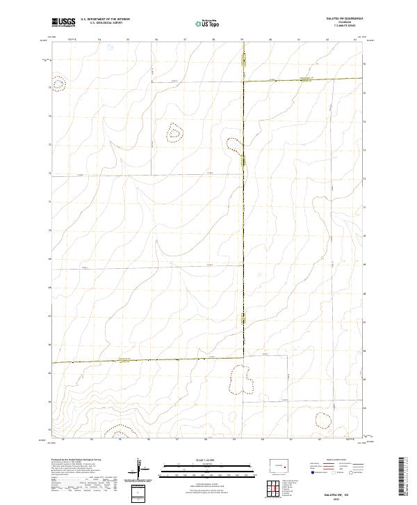
2022 Galatea SW
Lincoln County, CO
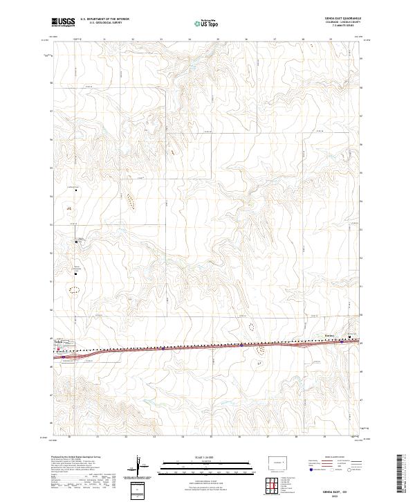
2022 Genoa East
Lincoln County, CO
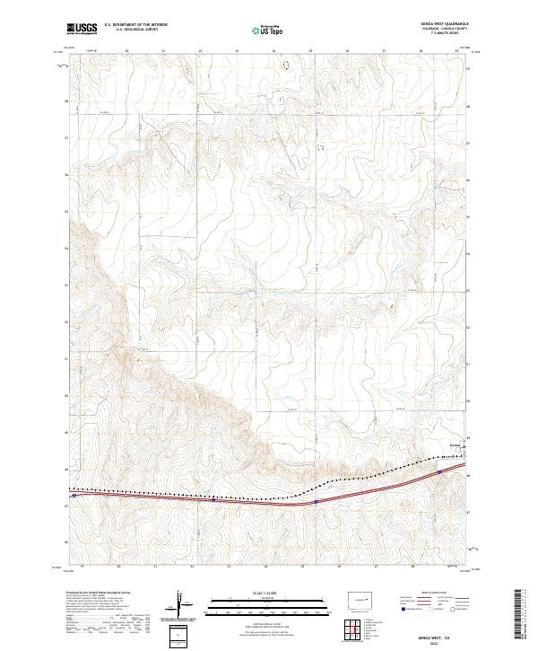
2022 Genoa West
Lincoln County, CO
2022 Hubbard Lake
Lincoln County, CO
2022 Hugo SW
Lincoln County, CO
2022 Karval
Lincoln County, CO
2022 Kinney Lake
Lincoln County, CO
2022 Kutch SE
Lincoln County, CO
2022 Kutch SW
Lincoln County, CO
2022 Lake
Lincoln County, CO
2022 Lake SE
Lincoln County, CO
2022 Last Chance SW
Lincoln County, CO
2022 Lindon SW
Lincoln County, CO
2022 Long Creek
Lincoln County, CO
2022 Lusto Springs
Lincoln County, CO
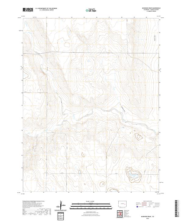
2022 McKenzie Draw
Lincoln County, CO
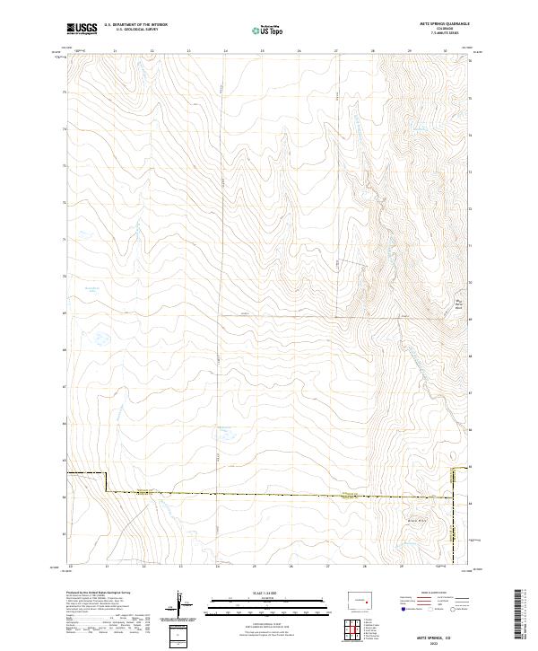
2022 Metz Springs
Lincoln County, CO
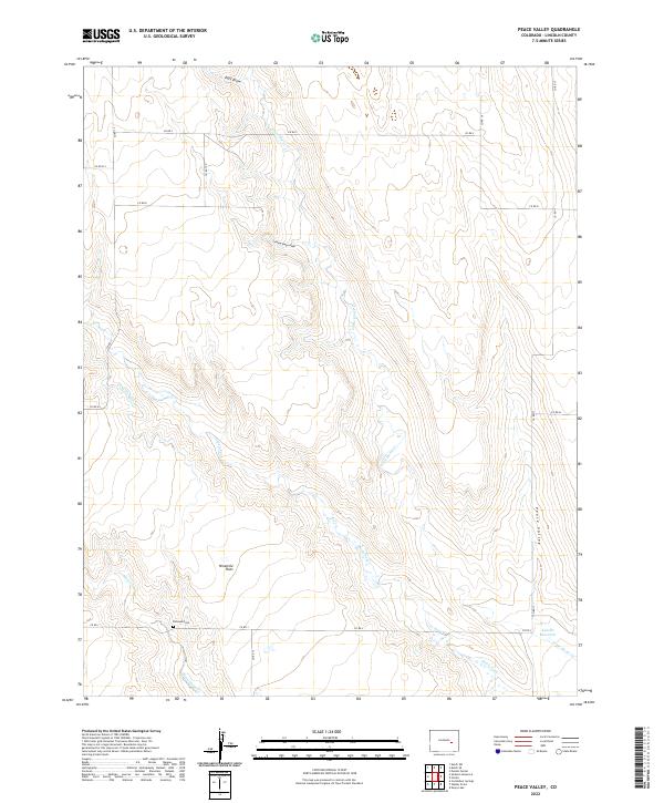
2022 Peace Valley
Lincoln County, CO
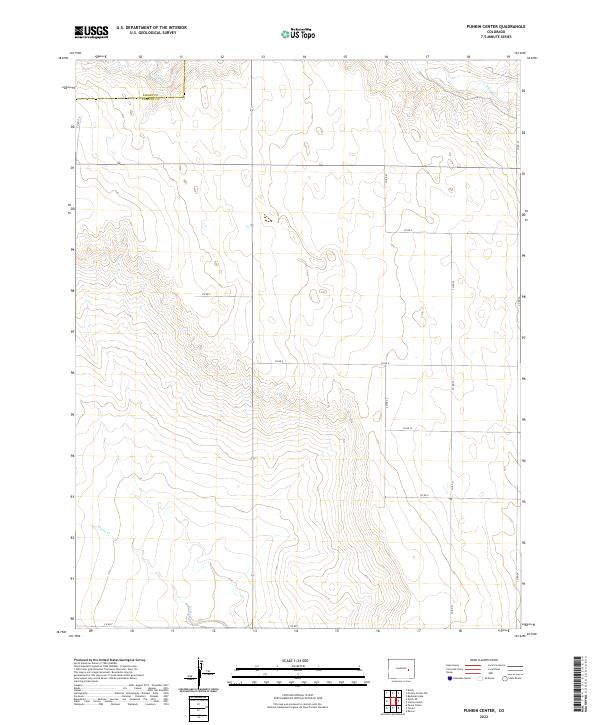
2022 Punkin Center
Lincoln County, CO
2022 Punkin Center NW
Lincoln County, CO
2022 Rock Basin
Lincoln County, CO
2022 Sanborn Reservoir
Lincoln County, CO
2022 Schafer Reservoir
Lincoln County, CO
2022 Scott Draw
Lincoln County, CO
2022 Sevenmile Ranch
Lincoln County, CO
2022 Sharp Lake
Lincoln County, CO
2022 Shaw
Lincoln County, CO
2022 Stacy Lakes Draw
Lincoln County, CO
2022 Stanley Gulch
Lincoln County, CO
2022 T Draw
Lincoln County, CO
2022 Walker Point
Lincoln County, CO
2022 Walks Camp Park
Lincoln County, CO