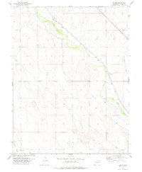
1978 Map of Boyero
USGS Topo · Published 1978About this map
Big Sandy Creek carves a green corridor through the high plains of Lincoln County, defining the settlement patterns of this cattle-ranching landscape in the late 1970s. The Union Pacific railroad tracks parallel the creek's course, providing a vital transportation artery that supports the small community of Boyero. Near the town, the Boyero Cem serves as a quiet record of early settlers, while the T-Cross Ranch indicates the enduring importance of large-scale ranching operations in the region.
Find a feature on this map
9 named features on this map. Tap any name to fly to it.
Don’t see what you’re looking for? This feature index may not catch every label — zoom into the map to look around manually.
Map Details
Editions of this 1978 Boyero Map
This is the sole edition of this map. No revisions or reprints were ever made.
Other maps of this area

1891 · Arroyo
USGS Topo · 1:125,000

1893 · Arroyo
USGS Topo · 1:125,000

1954 · Limon
USGS Topo · 1:250,000

1954 · Lamar
USGS Topo · 1:250,000

1957 · Limon
USGS Topo · 1:250,000

1958 · Limon
USGS Topo · 1:250,000

1958 · Lamar
USGS Topo · 1:250,000
1978 · Kinney Lake
USGS Topo · 1:24,000

1978 · Aroya
USGS Topo · 1:24,000

1978 · Rock Basin
USGS Topo · 1:24,000