
1978 Map of Rock Basin
USGS Topo · Published 1978About this map
Buffalo Basin and Rock Basin dominate this high plains landscape in Lincoln County, Colorado, where the water table dictated the patterns of settlement and land use. The intermittent path of Rush Creek winds through the southern reaches of the quadrangle, flanked by numerous hydraulic features essential for ranching and survival in this arid environment. Several Wells and a specific Monahan Well are documented, highlighting the vital role of individual water rights and family-named landmarks in the local history of the region. A modern Pipeline cuts across the northeastern corner, signaling the infrastructure developments of the late 1970s. This survey, based on aerial photographs from 1974, provides a detailed look at the section lines, unimproved roads, and sparse landmarks like a lone Tank that characterize this portion of the Colorado plains.
Find a feature on this map
9 named features on this map. Tap any name to fly to it.
Don’t see what you’re looking for? This feature index may not catch every label — zoom into the map to look around manually.
Map Details
Editions of this 1978 Rock Basin Map
This is the sole edition of this map. No revisions or reprints were ever made.
Other maps of this area

1891 · Arroyo
USGS Topo · 1:125,000

1893 · Arroyo
USGS Topo · 1:125,000

1954 · Lamar
USGS Topo · 1:250,000

1958 · Lamar
USGS Topo · 1:250,000
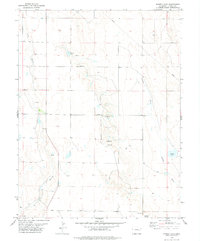
1978 · Kinney Lake
USGS Topo · 1:24,000

1978 · Aroya
USGS Topo · 1:24,000

1978 · Barrel Springs Draw
USGS Topo · 1:24,000

1978 · Stacy Lakes Draw
USGS Topo · 1:24,000
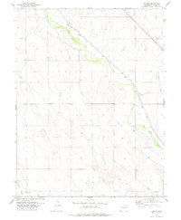
1978 · Boyero
USGS Topo · 1:24,000
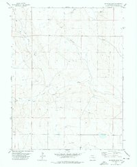
1978 · Mc Kenzie Draw
USGS Topo · 1:24,000