
1973 Map of Wetzel Creek
USGS Topo · Published 1976About this map
The rolling plains along the Adams Co Washington Co line define this 1970s landscape, where energy extraction and dryland ranching intersect. The Big Beaver Oil Field occupies the eastern portion of the terrain, characterized by a network of oil wells, Drill Holes, and service infrastructure like the prominent substation and various pipelines. These industrial features cut across the natural drainage patterns of Wetzel Creek and Beaver Creek, reflecting the intensity of local petroleum production during this era.
Find a feature on this map
12 named features on this map. Tap any name to fly to it.
Don’t see what you’re looking for? This feature index may not catch every label — zoom into the map to look around manually.
Map Details
Editions of this 1973 Wetzel Creek Map
This is the sole edition of this map. No revisions or reprints were ever made.
Other maps of this area

1954 · Limon
USGS Topo · 1:250,000

1957 · Limon
USGS Topo · 1:250,000

1958 · Limon
USGS Topo · 1:250,000

1973 · Woodrow
USGS Topo · 1:24,000

1973 · Shamrock
USGS Topo · 1:24,000

1973 · Last Chance NW
USGS Topo · 1:24,000
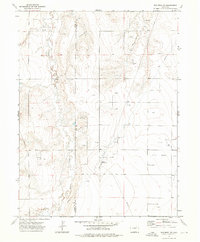
1973 · Woodrow NW
USGS Topo · 1:24,000

1973 · Last Chance
USGS Topo · 1:24,000
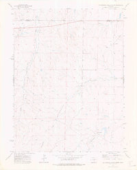
1973 · Cottonwood Valley North
USGS Topo · 1:24,000
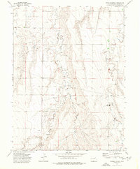
1973 · Woodlin School
USGS Topo · 1:24,000