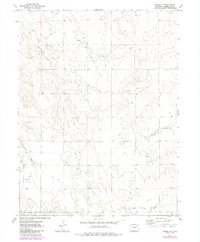
1973 Map of Pinneo SE
USGS Topo · Published 1984About this map
Ranchero Oil Field and the neighboring North Shears Oil Field dominate the high plains of Washington County in this mid-1970s landscape. The terrain is defined by a series of north-south running draws and intermittent watercourses, including the winding beds of Camp Creek, Surveyor Creek, and Brunker Creek. This era of the region is characterized by intensive energy extraction, with numerous sites such as Oil Well 2 and a Gravel Pit scattered across the township grid.
Find a feature on this map
12 named features on this map. Tap any name to fly to it.
Don’t see what you’re looking for? This feature index may not catch every label — zoom into the map to look around manually.
Map Details
Editions of this 1973 Pinneo SE Map
3 editions found

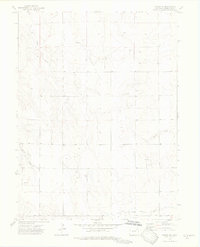
Other maps of this area

1954 · Limon
USGS Topo · 1:250,000

1954 · Sterling
USGS Topo · 1:250,000

1957 · Limon
USGS Topo · 1:250,000

1958 · Limon
USGS Topo · 1:250,000

1958 · Sterling
USGS Topo · 1:250,000

1973 · Antelope Creek East
USGS Topo · 1:24,000

1973 · Akron
USGS Topo · 1:24,000

1973 · Antelope Creek West
USGS Topo · 1:24,000

1973 · Rago
USGS Topo · 1:24,000

1973 · Fremont Butte
USGS Topo · 1:24,000