
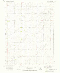
1973 Map of Fremont Butte
USGS Topo · Published 1976About this map
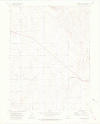
Fremont Butte rises above this section of the High Plains, providing a prominent landmark in an otherwise subtly undulating landscape defined by agricultural and industrial development. The small settlement of Xenia sits along the Burlington Northern railroad line, which cuts horizontally across the lower third of the quadrangle. This era of the Washington County plains is characterized by significant natural resource extraction, as evidenced by the widespread presence of an Oil field and numerous scattered Oil Wells, Oil Wells, and exploratory Drill Holes. Water management is critical in this arid region, highlighted by the Twenty-two Aqueduct and several isolated wells and springs. The presence of Gravel Pits and Radio Towers further illustrates the modern infrastructure supporting this rural economy in the early 1970s.
Find a feature on this map
18 named features on this map. Tap any name to fly to it.
Don’t see what you’re looking for? This feature index may not catch every label — zoom into the map to look around manually.
Map Details
Editions of this 1973 Fremont Butte Map
3 editions found
Other maps of this area

1951 · Merino SW
USGS Topo · 1:24,000

1951 · Merino SE
USGS Topo · 1:24,000

1954 · Sterling
USGS Topo · 1:250,000

1958 · Sterling
USGS Topo · 1:250,000

1973 · Akron
USGS Topo · 1:24,000

1973 · Rago
USGS Topo · 1:24,000

1973 · Pinneo SE
USGS Topo · 1:24,000
1973 · Buffalo Springs Ranch
USGS Topo · 1:24,000
1973 · Pinneo
USGS Topo · 1:24,000
1973 · Akron SW
USGS Topo · 1:24,000