
1951 Map of Merino SE
USGS Topo · Published 1953About this map
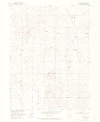
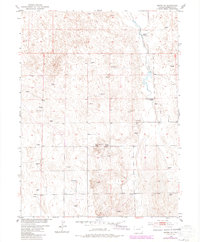
North Buena Vista School and South Buena Vista School anchor this corner of Washington County, Colorado, reflecting the decentralized educational network of rural communities in the early 1950s. The landscape is defined by the high plains water management system, where numerous labeled windmills dot the terrain to support livestock and remote dwellings. A prominent feature in the northern section is the Flying YJ Ranch, situated near the winding course of Twentytwo Slough. This waterway and the surrounding drainage patterns suggest a landscape carefully adapted for ranching. Along with agricultural markers, a Gravel Pit indicates local mineral extraction used for maintaining the area's light-duty and unimproved dirt roads. The survey also notes Barren terrain, highlighting the arid character of the Colorado plains before more intensive irrigation or land development reached this specific quadrangle.
Find a feature on this map
10 named features on this map. Tap any name to fly to it.
Don’t see what you’re looking for? This feature index may not catch every label — zoom into the map to look around manually.
Map Details
Editions of this 1951 Merino SE Map
3 editions found
Other maps of this area

1951 · Messex
USGS Topo · 1:24,000

1951 · Merino SW
USGS Topo · 1:24,000

1951 · Merino
USGS Topo · 1:24,000

1954 · Sterling
USGS Topo · 1:250,000

1958 · Sterling
USGS Topo · 1:250,000

1971 · Messex
USGS Topo · 1:24,000

1971 · Merino
USGS Topo · 1:24,000

1973 · Akron
USGS Topo · 1:24,000

1973 · Buffalo Springs Ranch NW
USGS Topo · 1:24,000

1973 · Fremont Butte
USGS Topo · 1:24,000