Loading...
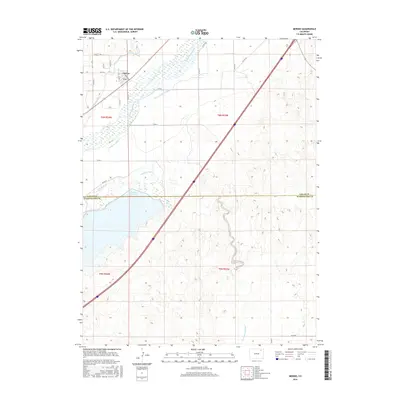
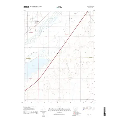
Loading map...1971 Map of Merino
USGS Topo · Published 1984About this map
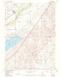
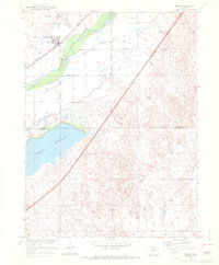
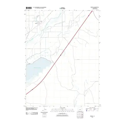
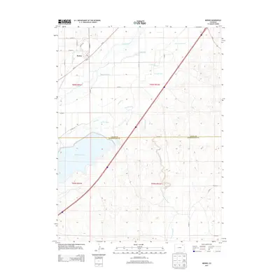
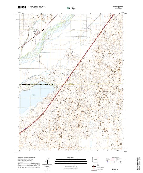
The town of Merino serves as the focal point for this Northeastern Colorado landscape, situated at the intersection of the South Platte River and the Union Pacific railroad. The geography is defined by a complex network of late 19th and early 20th-century irrigation systems, including the Pawnee Ditch, Company Ditch, and Davis Brothers Ditch, which redirect water from the river to the surrounding agricultural plains.
Find a feature on this map
13 named features on this map. Tap any name to fly to it.
Don’t see what you’re looking for? This feature index may not catch every label — zoom into the map to look around manually.
Map Details
Date Portrayed1971
Date Published1984
PublisherU.S. Geological Survey
Map TypeTopographic
Scale1:24,000
Physical Dimensions21.25 x 26.68 inches
Editions of this 1971 Merino Map
This is the sole edition of this map. No revisions or reprints were ever made.
Historical Maps of Merino Through Time
7 maps found
Featured Locations
Source Details
SourceU.S. Geological Survey
CopyrightPublic Domain