
1951 Map of Sterling South
USGS Topo · Published 1952About this map
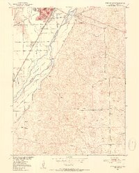
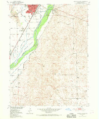
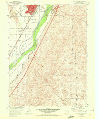
The South Platte River carves a fertile corridor through the high plains of Logan County, supporting a complex network of irrigation that defines the local landscape. In the early 1950s, Sterling stands as a busy regional hub, marked by a dense civic core featuring the courthouse, library, and Sugar Factory. This industrial presence highlights the area's agricultural reliance on the river and its many diversions, such as the Sterling No 1 Ditch and Batten Ditch. The map illustrates the town’s growth south toward Riverside Cemetery and along the Union Pacific tracks.
Find a feature on this map
31 named features on this map. Tap any name to fly to it.
Don’t see what you’re looking for? This feature index may not catch every label — zoom into the map to look around manually.
Map Details
Editions of this 1951 Sterling South Map
4 editions found
Other maps of this area

1951 · Reiradon Hill
USGS Topo · 1:24,000

1951 · Sterling North
USGS Topo · 1:24,000

1951 · Galien
USGS Topo · 1:24,000

1951 · Atwood NE
USGS Topo · 1:24,000

1951 · Merino
USGS Topo · 1:24,000

1951 · Atwood
USGS Topo · 1:24,000

1954 · Sterling
USGS Topo · 1:250,000

1958 · Sterling
USGS Topo · 1:250,000

1971 · Merino
USGS Topo · 1:24,000

1973 · Buffalo Springs Ranch NW
USGS Topo · 1:24,000