
1951 Map of Merino
USGS Topo · Published 1953About this map
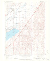
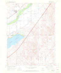
The settlement of Merino serves as the focal point for this 1951 study of the Colorado plains, where the South Platte River and the Union Pacific railroad define the local geography. This area is characterized by an extensive irrigation network essential for agriculture in the arid environment, featuring numerous systems like Pawnee Ditch, Brothers Ditch, and Davis Ditch. These waterways represent the complex water rights and engineering efforts of mid-century Logan County.
Find a feature on this map
21 named features on this map. Tap any name to fly to it.
Don’t see what you’re looking for? This feature index may not catch every label — zoom into the map to look around manually.
Map Details
Editions of this 1951 Merino Map
3 editions found
Other maps of this area

1951 · Willard
USGS Topo · 1:24,000

1951 · Messex
USGS Topo · 1:24,000

1951 · Sterling South
USGS Topo · 1:24,000

1951 · Merino SW
USGS Topo · 1:24,000

1951 · Merino SE
USGS Topo · 1:24,000

1951 · Atwood
USGS Topo · 1:24,000

1954 · Sterling
USGS Topo · 1:250,000

1958 · Sterling
USGS Topo · 1:250,000

1971 · Messex
USGS Topo · 1:24,000

1971 · Merino
USGS Topo · 1:24,000