Loading...
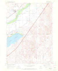
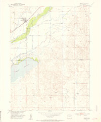
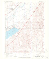
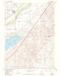
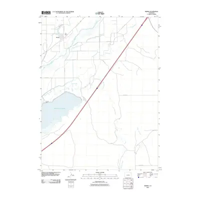
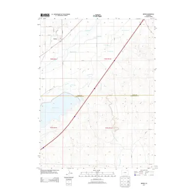
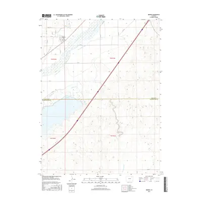
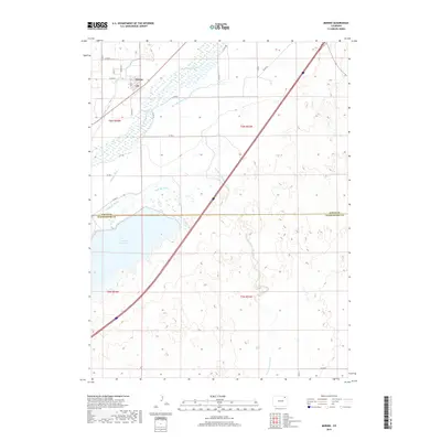
Loading map...1951 Map of Merino
USGS Topo · Published 1972About this map
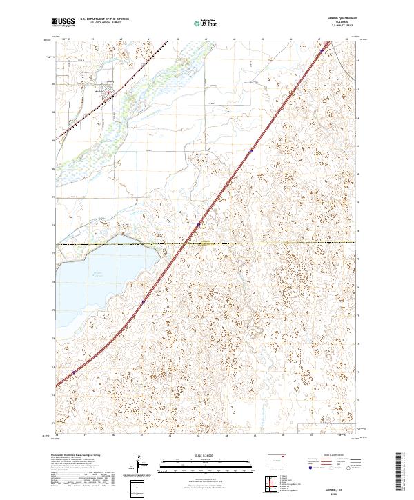
Merino stands as a focal point along the northern edge of this Logan County landscape, where the Union Pacific railroad parallels the course of the South Platte River. The agricultural character of the era is defined by an intricate network of irrigation, including the Pawnee Ditch, Company Ditch, and Brothers Ditch, which redirect water from the river to the surrounding plains.
Find a feature on this map
15 named features on this map. Tap any name to fly to it.
Don’t see what you’re looking for? This feature index may not catch every label — zoom into the map to look around manually.
Map Details
Date Portrayed1951
Date Published1972
PublisherU.S. Geological Survey
Map TypeTopographic
Scale1:24,000
Physical Dimensions22.3 x 26.9 inches
Editions of this 1951 Merino Map
3 editions found
Historical Maps of Merino Through Time
7 maps found
Featured Locations
Source Details
SourceU.S. Geological Survey
CopyrightPublic Domain