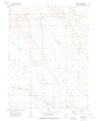
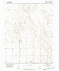
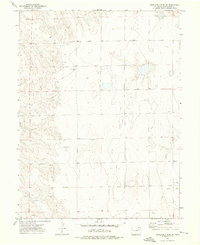
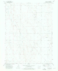
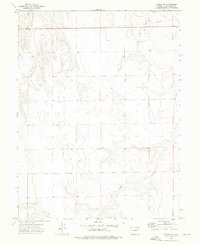
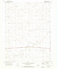
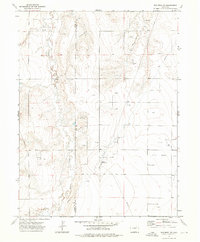
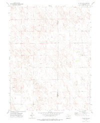
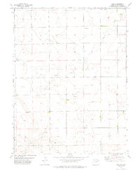
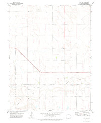
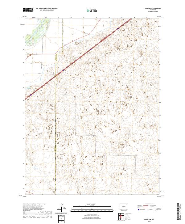
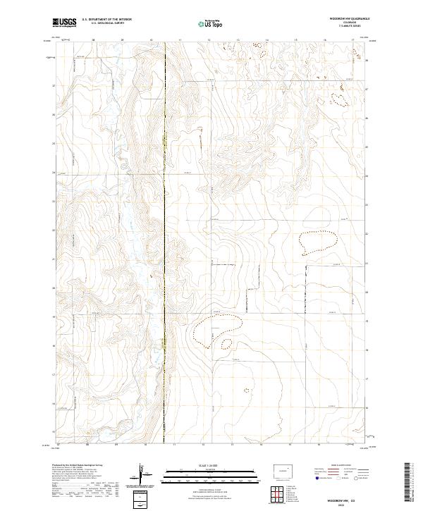
1951 Map of Merino SE
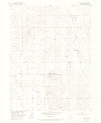
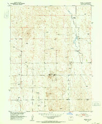
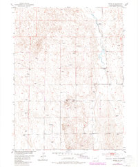
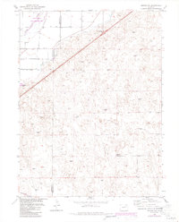
USGS Topo · Published 1967This historical map portrays the area of Merino SE in 1951, primarily covering Washington County. Featuring a scale of 1:24000, this map provides a highly detailed snapshot of the terrain, roads, buildings, counties, and historical landmarks in the Merino SE region at the time. Published in 1967, it is one of 3 known editions of this map due to revisions or reprints.
Find a feature on this map
7 named features on this map. Tap any name to fly to it.
Don’t see what you’re looking for? This feature index may not catch every label — zoom into the map to look around manually.
Map Details
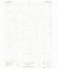
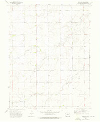
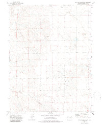
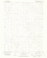
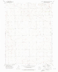
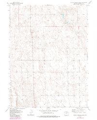
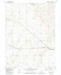
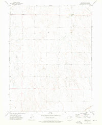
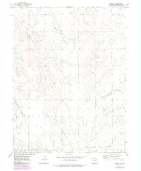
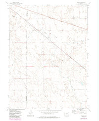
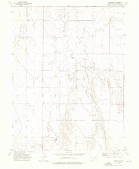
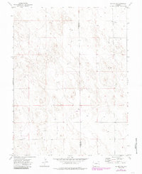
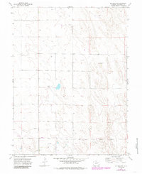
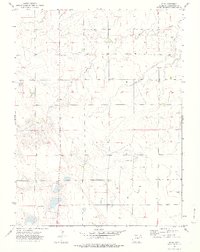
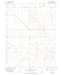
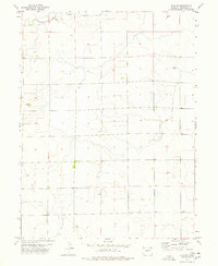
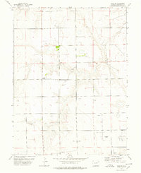
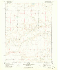
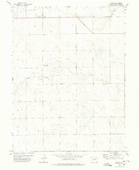
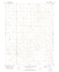
Editions of this 1951 Merino SE Map
3 editions found
Historical Maps of Washington County Through Time
81 maps found
1951 Merino SE
Washington County, CO
1951 Merino SW
Washington County, CO
1972 Burdett
Washington County, CO
1972 Hyde
Washington County, CO
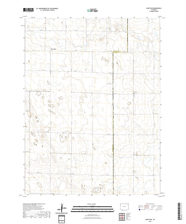
1972 Lone Star
Washington County, CO
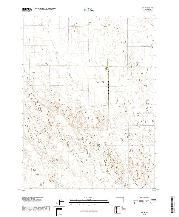
1972 Otis SE
Washington County, CO
1972 Snyder Lake
Washington County, CO
1973 Akron SE
Washington County, CO
1973 Akron SW
Washington County, CO
1973 Antelope Creek East
Washington County, CO
1973 Antelope Creek SE
Washington County, CO
1973 Antelope Creek West
Washington County, CO
1973 Buffalo Springs Ranch SE
Washington County, CO
1973 Buffalo Springs Ranch
Washington County, CO
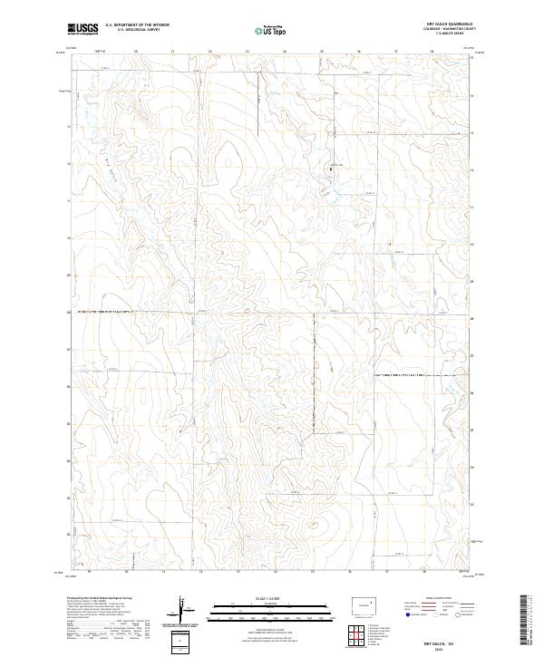
1973 Dry Gulch
Washington County, CO
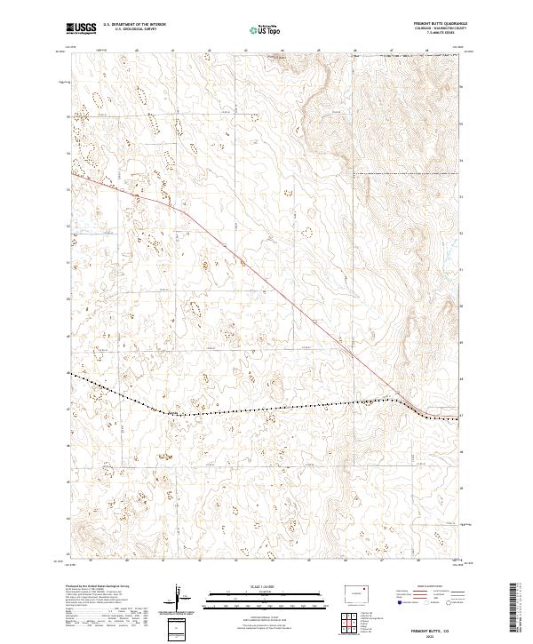
1973 Fremont Butte
Washington County, CO
1973 Last Chance NW
Washington County, CO
1973 Last Chance
Washington County, CO
1973 Lindon NE
Washington County, CO
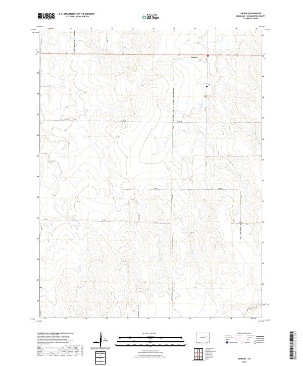
1973 Lindon
Washington County, CO
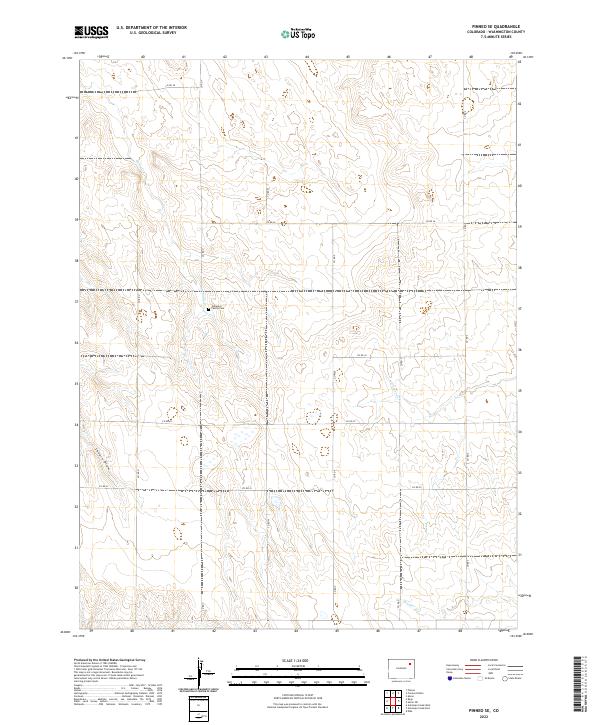
1973 Pinneo SE
Washington County, CO
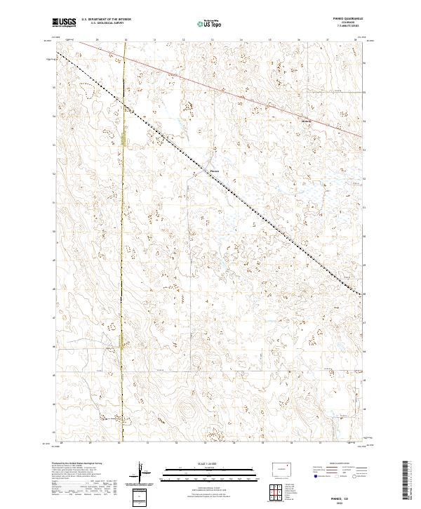
1973 Pinneo
Washington County, CO
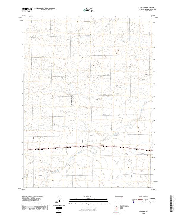
1973 Platner
Washington County, CO
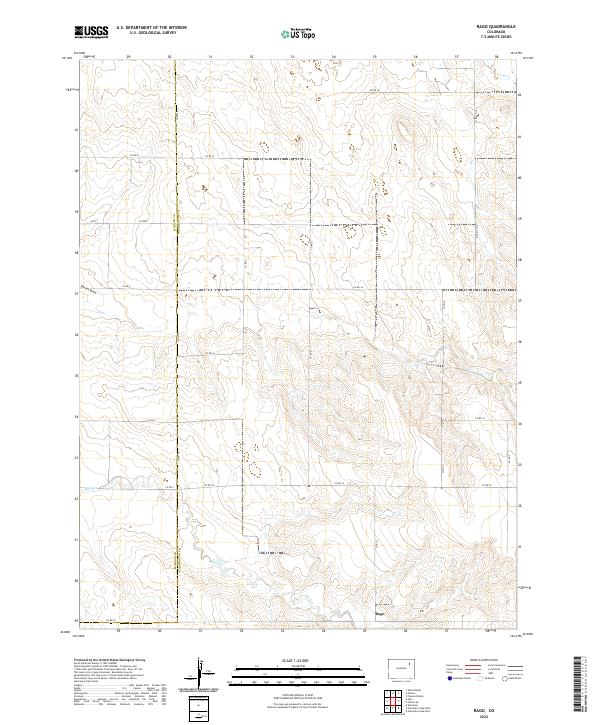
1973 Rago
Washington County, CO
1973 Wetzel Creek
Washington County, CO
1973 Woodlin School
Washington County, CO
1973 Woodrow NW
Washington County, CO
1973 Woodrow
Washington County, CO
1974 De Nova NE
Washington County, CO
1974 De Nova NW
Washington County, CO
1974 De Nova SE
Washington County, CO
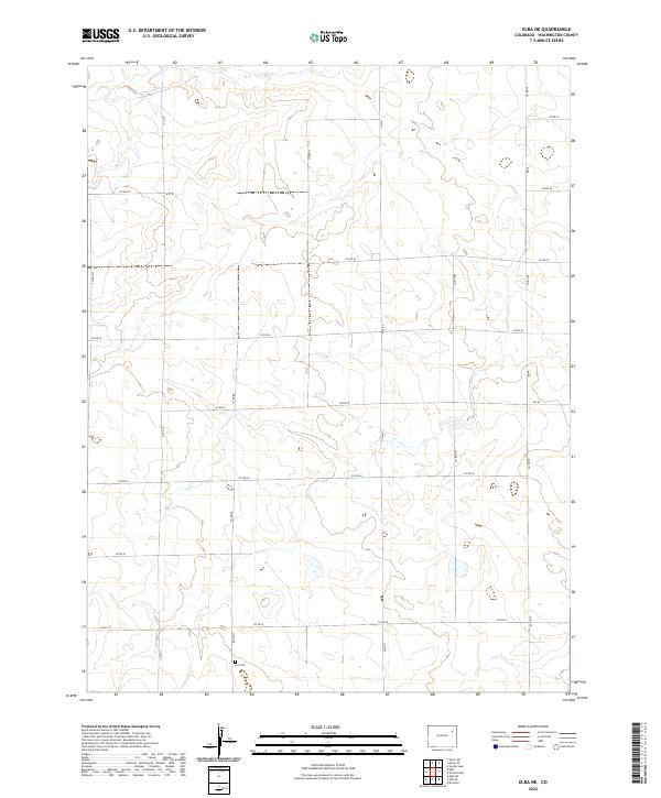
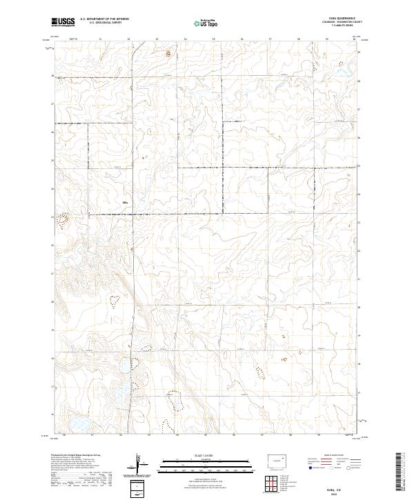
1974 Elba
Washington County, CO
1977 Arickaree
Washington County, CO
1977 Elba NE
Washington County, CO
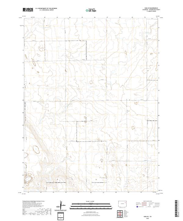
1977 Elba SE
Washington County, CO
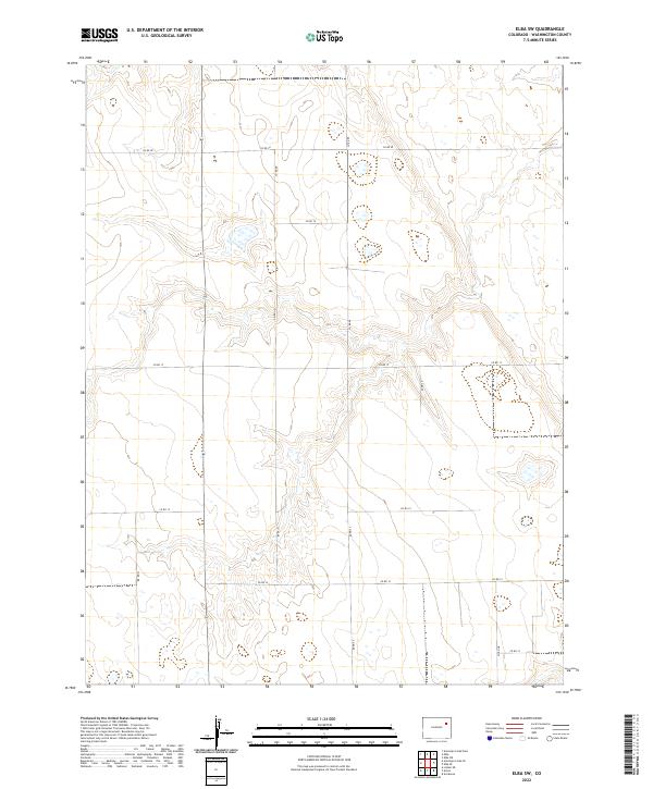
1977 Elba SW
Washington County, CO
1977 Thurman
Washington County, CO
1978 Anton
Washington County, CO
1978 Cope NW
Washington County, CO
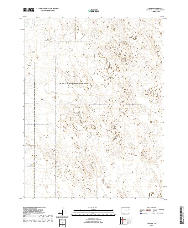
1978 De Nova
Washington County, CO
1983 Last Chance
Washington County, CO
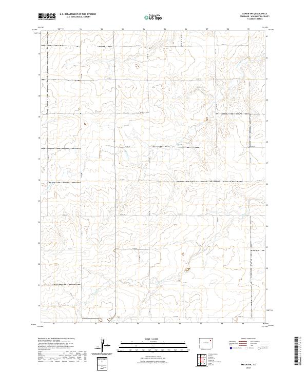
2022 Akron SE
Washington County, CO
2022 Akron SW
Washington County, CO
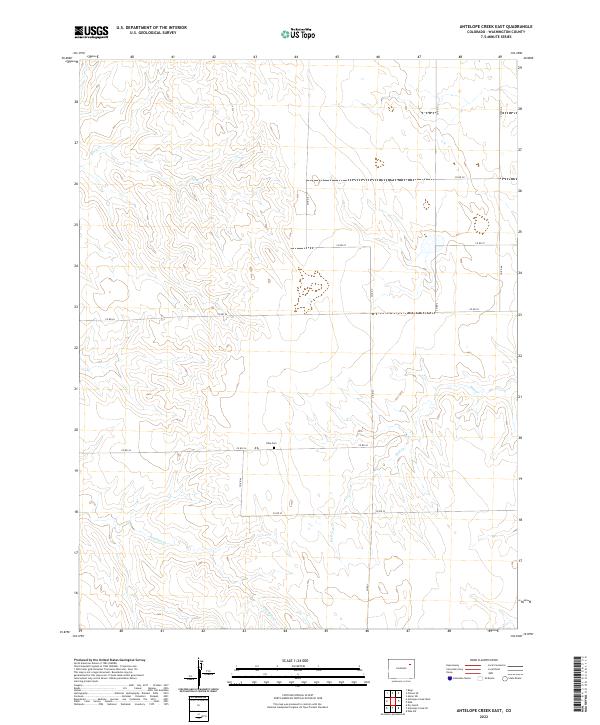
2022 Antelope Creek East
Washington County, CO
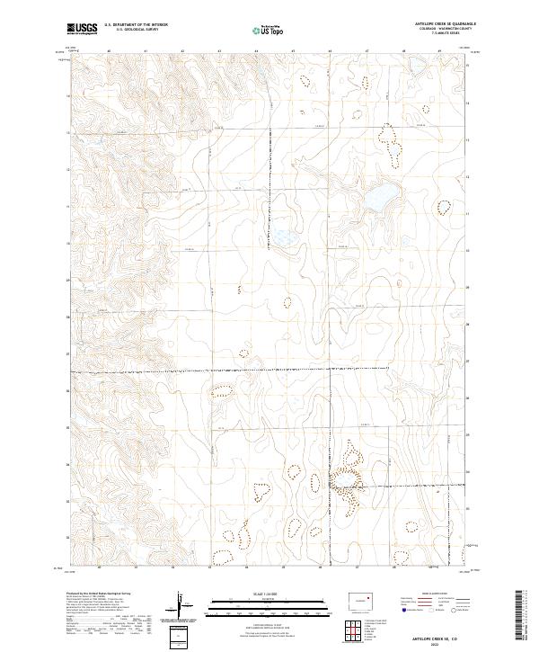
2022 Antelope Creek SE
Washington County, CO
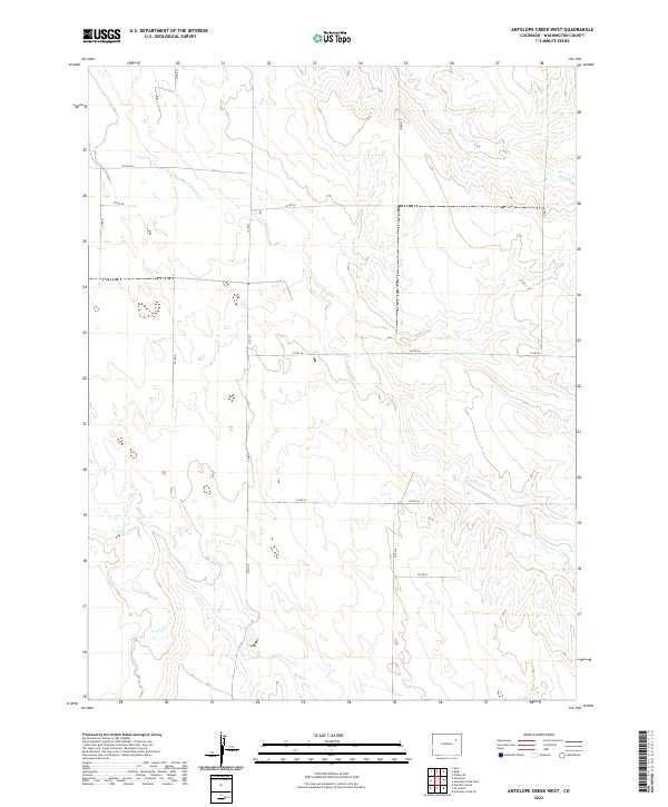
2022 Antelope Creek West
Washington County, CO
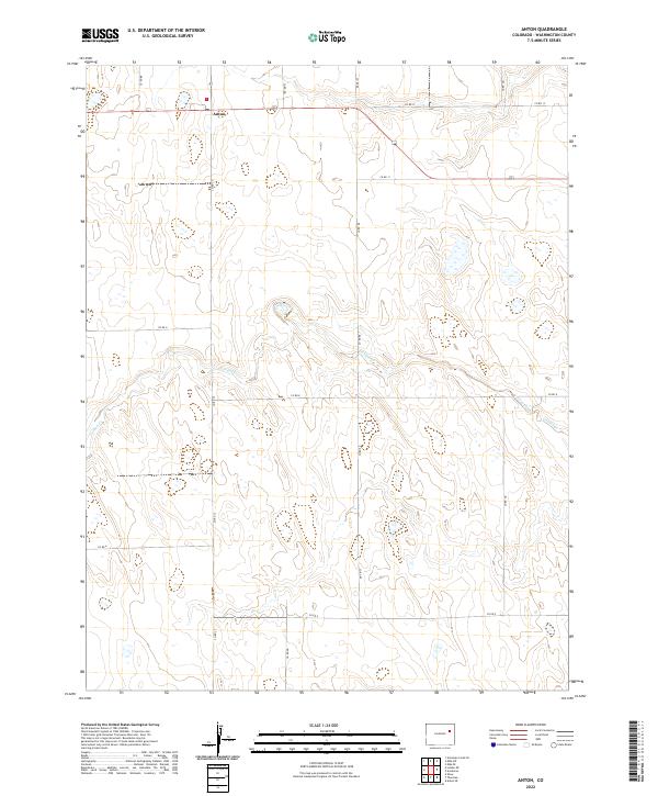
2022 Anton
Washington County, CO
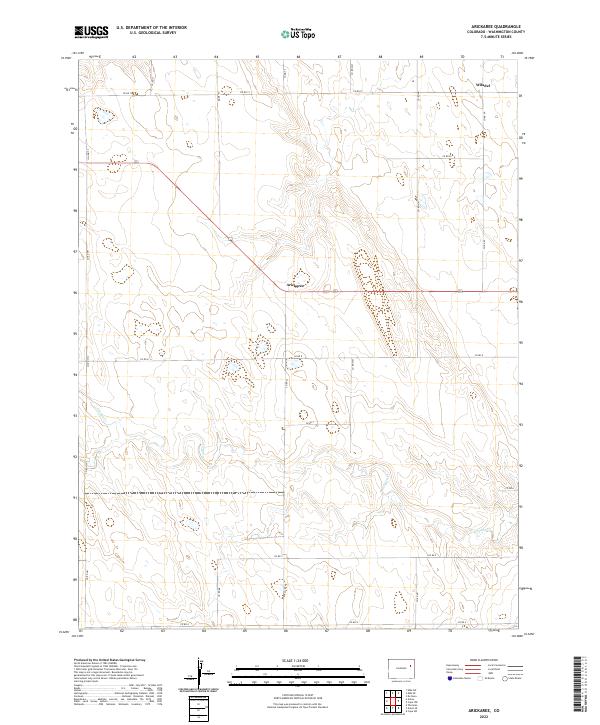
2022 Arickaree
Washington County, CO
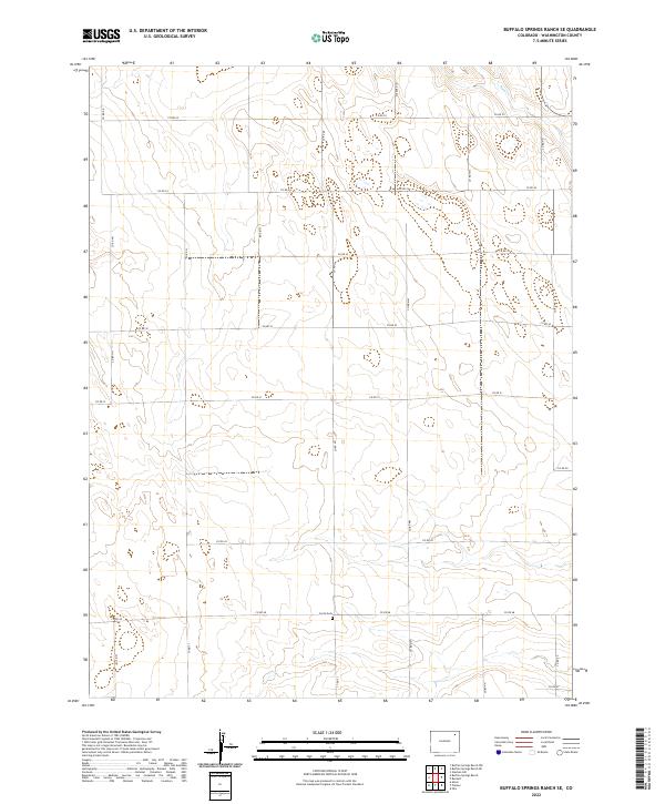
2022 Buffalo Springs Ranch SE
Washington County, CO
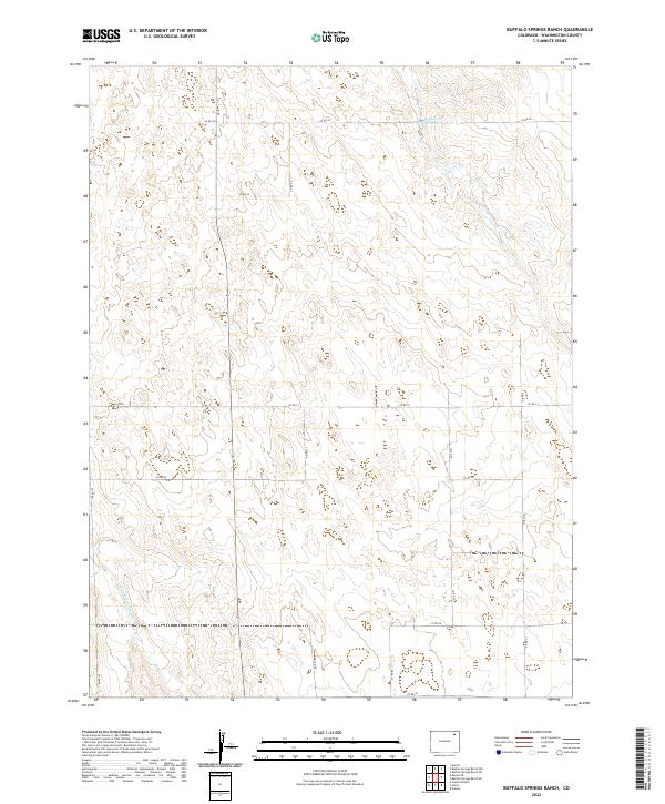
2022 Buffalo Springs Ranch
Washington County, CO
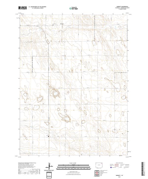
2022 Burdett
Washington County, CO
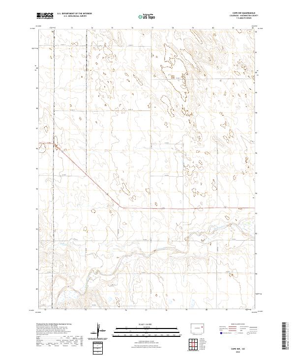
2022 Cope NW
Washington County, CO
2022 De Nova NE
Washington County, CO
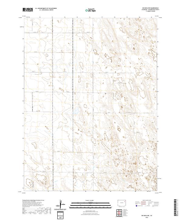
2022 De Nova NW
Washington County, CO
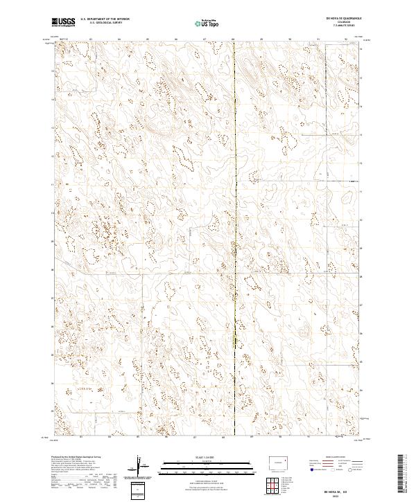
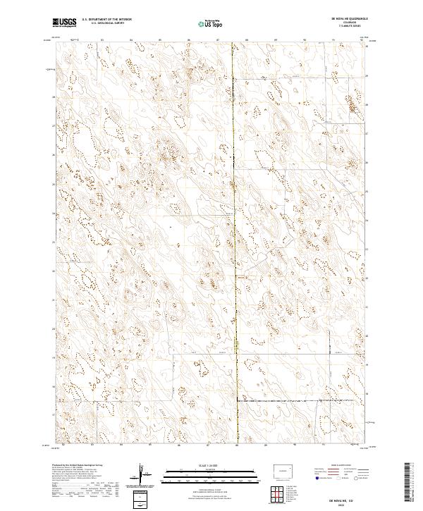
2022 De Nova SE
Washington County, CO
2022 De Nova
Washington County, CO
2022 Dry Gulch
Washington County, CO
2022 Elba NE
Washington County, CO
2022 Elba SE
Washington County, CO
2022 Elba SW
Washington County, CO
2022 Elba
Washington County, CO
2022 Fremont Butte
Washington County, CO
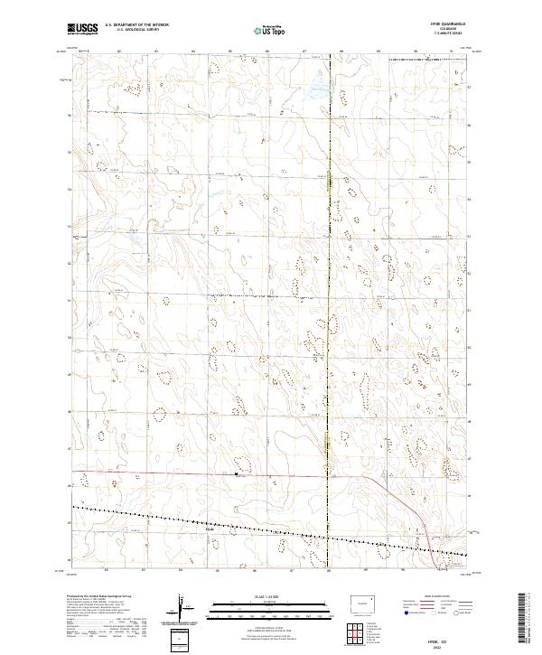
2022 Hyde
Washington County, CO
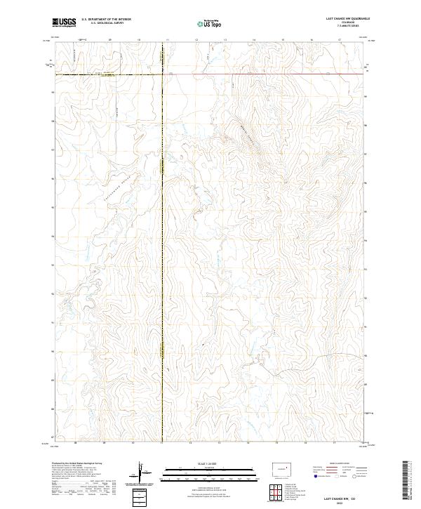
2022 Last Chance NW
Washington County, CO
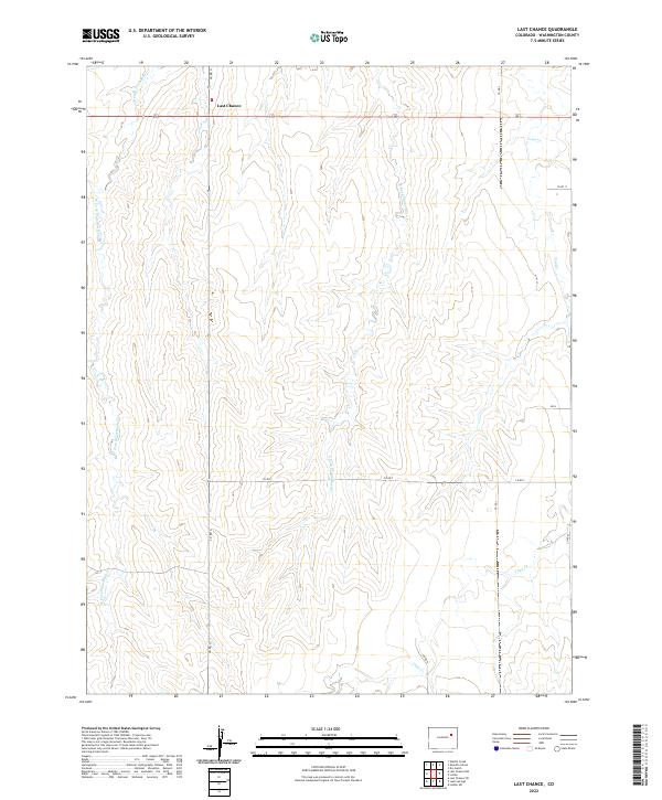
2022 Last Chance
Washington County, CO
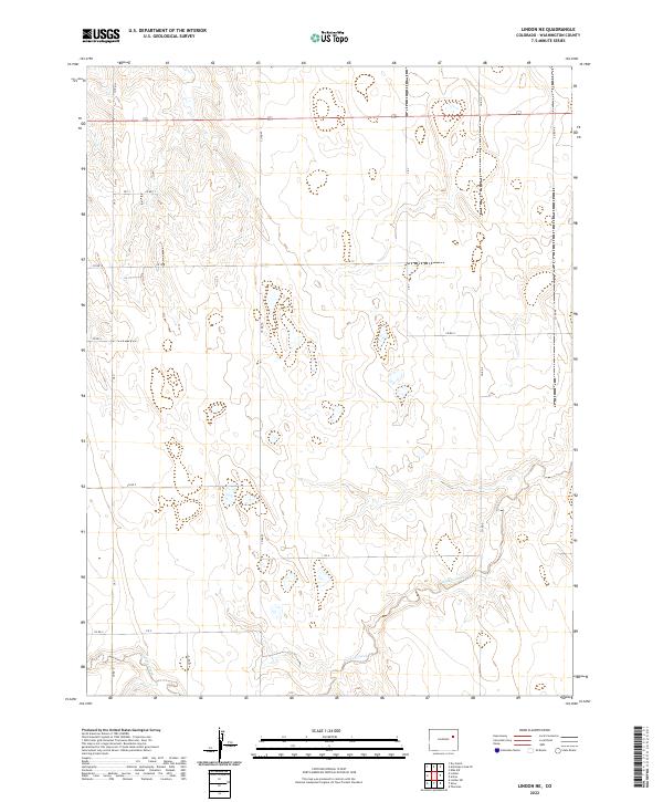
2022 Lindon NE
Washington County, CO
2022 Lindon
Washington County, CO
2022 Lone Star
Washington County, CO

2022 Merino SE
Washington County, CO
2022 Merino SW
Washington County, CO
2022 Otis SE
Washington County, CO
2022 Pinneo SE
Washington County, CO
2022 Pinneo
Washington County, CO
2022 Platner
Washington County, CO
2022 Rago
Washington County, CO
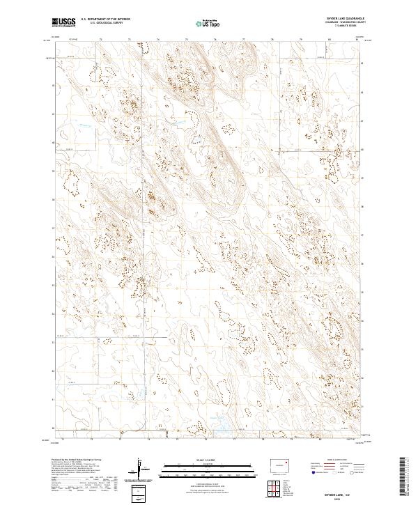
2022 Snyder Lake
Washington County, CO
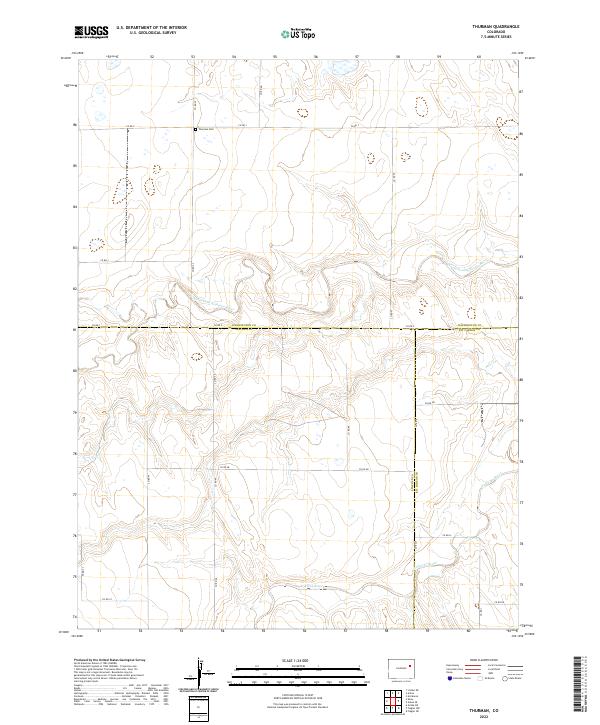
2022 Thurman
Washington County, CO
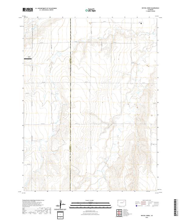
2022 Wetzel Creek
Washington County, CO
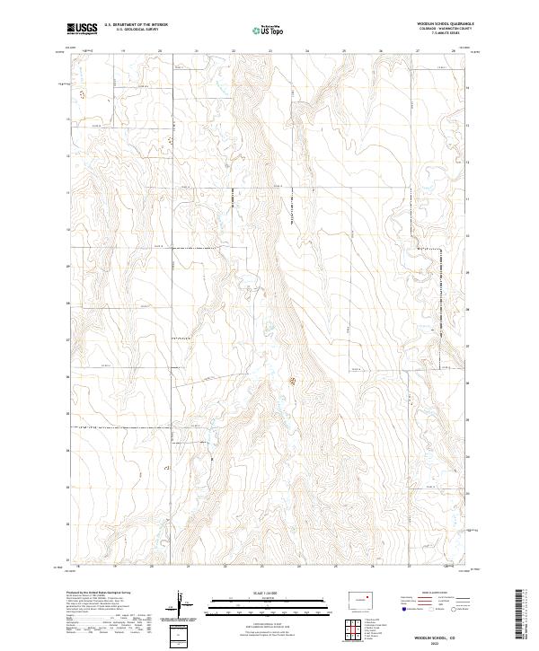
2022 Woodlin School
Washington County, CO
2022 Woodrow NW
Washington County, CO
2022 Woodrow
Washington County, CO