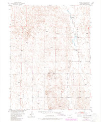
1951 Map of Merino SE
USGS Topo · Published 1984About this map
The rolling plains of Washington County are captured here in a transition between mid-century ranching and later land use. The landscape is defined by its water management and agricultural infrastructure, most notably at the Flying YJ Ranch and along the drainages of the Slough and Twenty-two. These waterways provide a stark contrast to the nearby Barren terrain, illustrating the critical importance of irrigation and natural drainage in the High Plains.
Find a feature on this map
18 named features on this map. Tap any name to fly to it.
Don’t see what you’re looking for? This feature index may not catch every label — zoom into the map to look around manually.
Map Details
Editions of this 1951 Merino SE Map
3 editions found
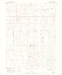
Other maps of this area

1951 · Messex
USGS Topo · 1:24,000

1951 · Merino SW
USGS Topo · 1:24,000

1951 · Merino SE
USGS Topo · 1:24,000

1951 · Merino
USGS Topo · 1:24,000

1954 · Sterling
USGS Topo · 1:250,000

1958 · Sterling
USGS Topo · 1:250,000

1971 · Messex
USGS Topo · 1:24,000

1971 · Merino
USGS Topo · 1:24,000

1973 · Akron
USGS Topo · 1:24,000

1973 · Buffalo Springs Ranch NW
USGS Topo · 1:24,000