
1973 Map of Platner
USGS Topo · Published 1976About this map
Platner serves as a central point in this 1970s landscape of eastern Colorado, situated along the Burlington Northern railroad corridor. The area exhibits a distinct transition from agricultural land use to energy exploration, evidenced by numerous infrastructure labels including Oil Well, Well, and a Drill Hole scattered across the township grids. These industrial markers coincide with the meandering path of Surveyor Creek, which provides the primary drainage through the undulating terrain. A remote aviation presence is indicated by the Landing Strips in the northern sections, reflecting the necessity of air travel in this sparsely populated region of Washington County. The presence of fine red lines indicating selected fence lines further underscores the organized ranching and farming operations that define the local economy during this era.
Find a feature on this map
8 named features on this map. Tap any name to fly to it.
Don’t see what you’re looking for? This feature index may not catch every label — zoom into the map to look around manually.
Map Details
Editions of this 1973 Platner Map
This is the sole edition of this map. No revisions or reprints were ever made.
Other maps of this area

1954 · Sterling
USGS Topo · 1:250,000

1958 · Sterling
USGS Topo · 1:250,000

1972 · Otis
USGS Topo · 1:24,000

1972 · Snyder Lake
USGS Topo · 1:24,000

1972 · Burdett
USGS Topo · 1:24,000

1973 · Akron
USGS Topo · 1:24,000

1973 · Buffalo Springs Ranch SE
USGS Topo · 1:24,000

1973 · Akron SE
USGS Topo · 1:24,000
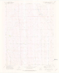
1973 · Buffalo Springs Ranch
USGS Topo · 1:24,000
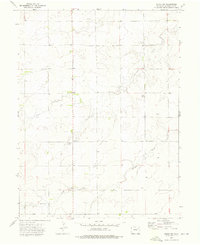
1973 · Akron SW
USGS Topo · 1:24,000