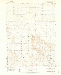
1951 Map of Dead Horse Springs
USGS Topo · Published 1952About this map
Dead Horse Springs anchors this 1951 survey of Morgan County, where the high plains terrain is defined by its water management and sparse rural infrastructure. The landscape features a sprawling network of windmills supporting livestock across the open range, while the southeastern corner reveals more intensive agricultural development near the Riverside Canal. Local education and communication are represented by the solitary Victory School and a Television Relay Station, highlighting the reach of modern services into this cattle-grazing territory. The eponymous Dead Horse Draw carves a path through the center of the sheet, providing a natural drainage corridor toward the canal system. This map captures the mid-century balance between traditional ranching practices and the burgeoning technological expansion into rural Colorado.
Find a feature on this map
10 named features on this map. Tap any name to fly to it.
Don’t see what you’re looking for? This feature index may not catch every label — zoom into the map to look around manually.
Map Details
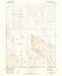
Editions of this 1951 Dead Horse Springs Map
4 editions found
Other maps of this area

1951 · Dead Horse Springs
USGS Topo · 1:24,000

1951 · Brush West
USGS Topo · 1:24,000

1951 · Antelope Springs
USGS Topo · 1:24,000

1951 · Brush East
USGS Topo · 1:24,000

1951 · Peace Valley School
USGS Topo · 1:24,000

1951 · Fort Morgan
USGS Topo · 1:24,000

1954 · Sterling
USGS Topo · 1:250,000

1958 · Sterling
USGS Topo · 1:250,000

1971 · Brush East
USGS Topo · 1:24,000
1971 · Brush West
USGS Topo · 1:24,000