
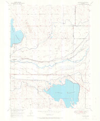
1950 Map of Greasewood Lake
USGS Topo · Published 1952About this map
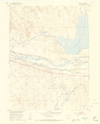
Greasewood Flats define this expanse of the Colorado high plains, captured in a 1950 survey that reveals a landscape transition from cattle country to energy exploration. The northern portion of the map is dominated by Greasewood Lake, a vital water source in this arid terrain, surrounded by numerous windmills that speak to the region's reliance on groundwater for ranching. This era of the Missouri River Basin development shows a mix of older community landmarks and newer industrial activity, evidenced by the Prairie Queen School (Aban'd) and several scattered oil wells. Seasonal watercourses like Sandborn Draw, Coal Bank Draw, and Greasewood Draw carve subtle drainage patterns across the county line dividing Weld and Morgan counties, marking the natural topography of a territory where water management and mineral extraction were becoming the primary drivers of land use.
Find a feature on this map
11 named features on this map. Tap any name to fly to it.
Don’t see what you’re looking for? This feature index may not catch every label — zoom into the map to look around manually.
Map Details
Editions of this 1950 Greasewood Lake Map
This is the sole edition of this map. No revisions or reprints were ever made.
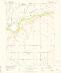
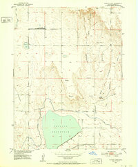
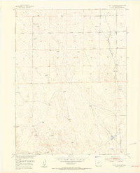
Other maps of this area
1950 · Masters
USGS Topo · 1:24,000

1951 · Masters
USGS Topo · 1:24,000
1951 · Orchard
USGS Topo · 1:24,000
1951 · Sunken Lake
USGS Topo · 1:24,000
1951 · Point Of Rocks
USGS Topo · 1:24,000
1951 · Dearfield
USGS Topo · 1:24,000

1954 · Greeley
USGS Topo · 1:250,000

1957 · Greeley
USGS Topo · 1:250,000

1958 · Greeley
USGS Topo · 1:250,000

1961 · Greeley
USGS Topo · 1:250,000