
1950 Map of Wiggins
USGS Topo · Published 1952About this map
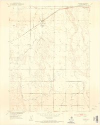
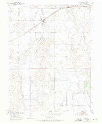
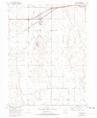
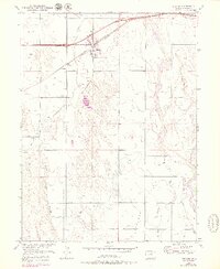
Wiggins serves as the central hub of this agricultural landscape in Morgan County, situated along the Chicago Burlington and Quincy railroad line. The map reveals an intricate but shifting water management system necessary for High Plains farming, featuring an Irrigation Ditch (Abandoned) and the similarly defunct Mc Carthy Reservoir (Abandoned). These markers of early 20th-century water engineering sit alongside active drainage like Bijou Creek and Kiowa Creek. Outside the main town, the tiny settlement of Lambert and a solitary Cem reflect the sparse, rural nature of the district. The southern portion of the map is dominated by the broad, open expanse of Antelope Flats, where numerous windmills and wells punctuate the terrain, indicating the ongoing reliance on groundwater as irrigation practices evolved during the mid-century period.
Find a feature on this map
16 named features on this map. Tap any name to fly to it.
Don’t see what you’re looking for? This feature index may not catch every label — zoom into the map to look around manually.
Map Details
Editions of this 1950 Wiggins Map
7 editions found
Other maps of this area

1950 · Wiggins SW
USGS Topo · 1:24,000

1950 · Masters
USGS Topo · 1:24,000

1950 · Hoyt
USGS Topo · 1:24,000

1951 · Hoyt
USGS Topo · 1:24,000

1951 · Masters
USGS Topo · 1:24,000

1951 · Weldona
USGS Topo · 1:24,000

1951 · Orchard
USGS Topo · 1:24,000

1951 · Omar
USGS Topo · 1:24,000

1954 · Sterling
USGS Topo · 1:250,000

1954 · Greeley
USGS Topo · 1:250,000