1950 Map of Wiggins
USGS Topo · Published 1971About this map
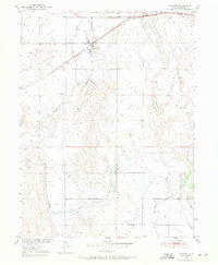
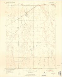
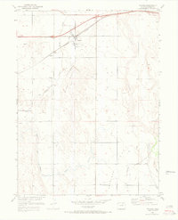
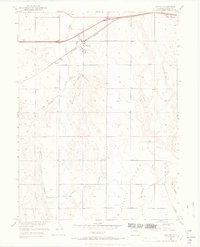
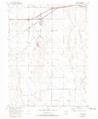
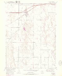
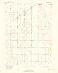
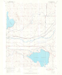
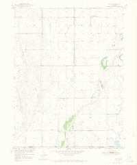
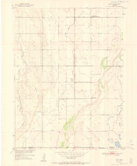
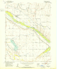
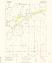
Wiggins and the smaller station of Lambert serve as the primary hubs on this high plains landscape at the start of the 1950s. The region is defined by a series of north-flowing waterways, including Kiowa Creek and the braided channels of Bijou Creek, which cut through the level terrain of Antelope Flats. Transport and utility infrastructure are prominent, with the Chicago Burlington and Quincy railroad running parallel to U.S. Highway 6 and 34, and the Wiggins Substation positioned just west of the main settlement.
Find a feature on this map
15 named features on this map. Tap any name to fly to it.
Don’t see what you’re looking for? This feature index may not catch every label — zoom into the map to look around manually.
Map Details
Editions of this 1950 Wiggins Map
7 editions found
Other maps of this area
1950 · Wiggins
USGS Topo · 1:24,000
1950 · Wiggins SW
USGS Topo · 1:24,000
1950 · Masters
USGS Topo · 1:24,000
1950 · Hoyt
USGS Topo · 1:24,000
1951 · Hoyt
USGS Topo · 1:24,000

1951 · Masters
USGS Topo · 1:24,000
1951 · Weldona
USGS Topo · 1:24,000
1951 · Orchard
USGS Topo · 1:24,000
1951 · Omar
USGS Topo · 1:24,000

1954 · Sterling
USGS Topo · 1:250,000