
1950 Map of Hoyt
USGS Topo · Published 1972About this map
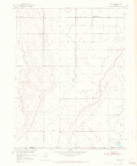
Bijou Creek winds through the high plains of the Morgan Co and Adams Co border, anchoring a landscape shaped by mid-century water management and community gathering points. The small settlement of Hoyt serves as a local hub, flanked by the Hoyt Cemetery and a Community Center. The presence of the USGS Testing and Recording Station and a USBR Substation indicates the era's technical infrastructure development, while numerous windmills scattered across the plains highlight the reliance on groundwater for ranching. To the north, the Long Meadow Community Center stands as another isolated social marker in the wide drainage of Antelope Creek. Significant topographic variations are few, with Bidwell Hill and the courses of Rock Creek and Muddy Creek providing the primary relief. The map documents the persistent agricultural footprint of eastern Colorado just as aerial photography was beginning to modernize the Geological Survey’s mapping techniques.
Find a feature on this map
15 named features on this map. Tap any name to fly to it.
Don’t see what you’re looking for? This feature index may not catch every label — zoom into the map to look around manually.
Map Details
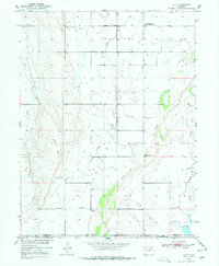
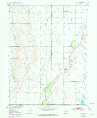
Editions of this 1950 Hoyt Map
4 editions found
Other maps of this area

1950 · Wiggins
USGS Topo · 1:24,000

1950 · Wiggins SW
USGS Topo · 1:24,000

1951 · Hoyt
USGS Topo · 1:24,000

1951 · Leader NW
USGS Topo · 1:24,000

1951 · Omar
USGS Topo · 1:24,000

1951 · Leader
USGS Topo · 1:24,000

1953 · Denver
USGS Topo · 1:250,000

1954 · Limon
USGS Topo · 1:250,000

1954 · Sterling
USGS Topo · 1:250,000

1954 · Greeley
USGS Topo · 1:250,000