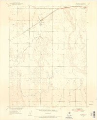
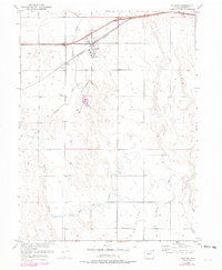
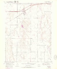
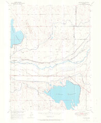
1950 Map of Wiggins
USGS Topo · Published 1952About this map
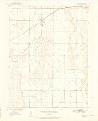
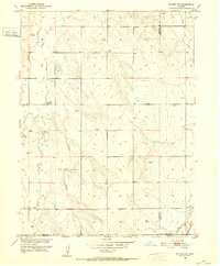
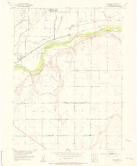
The high plains of Morgan County are dominated by the intersection of rail and water, where the Chicago Burlington and Quincy railroad tracks run parallel to the settlement of Wiggins. This 1950s-era landscape reveals a complex network of ephemeral waterways and irrigation efforts, including the Mc Carthy Reservoir (Abandoned) and various segments of Irrigation Ditch. The transition from the rugged drainage of Kiowa Creek to the broader expanse of Antelope Flats illustrates the challenges of water management in eastern Colorado.
Find a feature on this map
15 named features on this map. Tap any name to fly to it.
Don’t see what you’re looking for? This feature index may not catch every label — zoom into the map to look around manually.
Map Details
Editions of this 1950 Wiggins Map
7 editions found
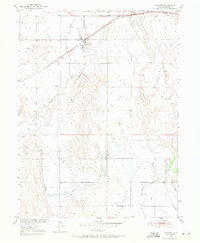
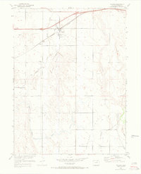
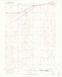
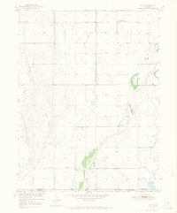
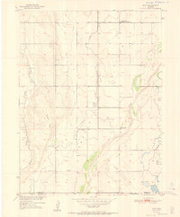
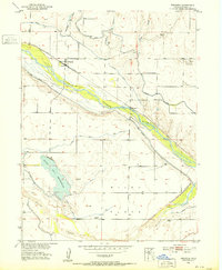
Other maps of this area
1950 · Wiggins
USGS Topo · 1:24,000
1950 · Wiggins SW
USGS Topo · 1:24,000
1950 · Masters
USGS Topo · 1:24,000
1950 · Hoyt
USGS Topo · 1:24,000
1951 · Hoyt
USGS Topo · 1:24,000

1951 · Masters
USGS Topo · 1:24,000
1951 · Weldona
USGS Topo · 1:24,000
1951 · Orchard
USGS Topo · 1:24,000
1951 · Omar
USGS Topo · 1:24,000

1954 · Sterling
USGS Topo · 1:250,000