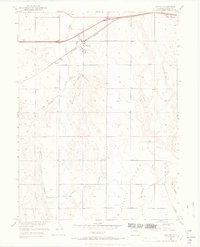
1950 Map of Wiggins
USGS Topo · Published 1972About this map
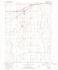
Wiggins and the surrounding plains of Morgan County are defined by a complex network of water management and transit during this mid-century period. The landscape is crisscrossed by several significant waterways, including Bijou Creek, Kiowa Creek, and Antelope Creek, which are supplemented by an extensive system of irrigation. These include a prominent Irrigation Ditch and several others marked as defunct, such as Ditch (Abandoned). The presence of the Mc Carthy Reservoir (Abandoned) suggests shifts in local water storage needs over time.
Find a feature on this map
18 named features on this map. Tap any name to fly to it.
Don’t see what you’re looking for? This feature index may not catch every label — zoom into the map to look around manually.
Map Details
Editions of this 1950 Wiggins Map
7 editions found
Other maps of this area

1950 · Wiggins
USGS Topo · 1:24,000

1950 · Wiggins SW
USGS Topo · 1:24,000

1950 · Masters
USGS Topo · 1:24,000

1950 · Hoyt
USGS Topo · 1:24,000

1951 · Hoyt
USGS Topo · 1:24,000

1951 · Masters
USGS Topo · 1:24,000

1951 · Weldona
USGS Topo · 1:24,000

1951 · Orchard
USGS Topo · 1:24,000

1951 · Omar
USGS Topo · 1:24,000

1954 · Sterling
USGS Topo · 1:250,000