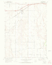
1950 Map of Wiggins
USGS Topo · Published 1972About this map
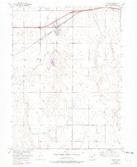
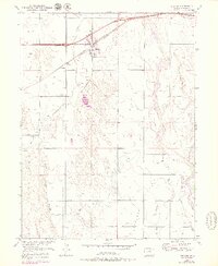
Wiggins sits at the nexus of the Burlington Northern railroad and several shifting watercourses on the high plains of Morgan County. The landscape is defined by the broad, sandy washes of Bijou Creek and Kiowa Creek, which slice through the flat terrain. Evidence of early twentieth-century attempts to manage this arid environment is visible in the network of irrigation infrastructure, including the Irrigation Ditch and the clearly marked McCarthy Reservoir (Abandoned). Small settlements like Lambert and the presence of a rural Cem northeast of town reflect the agricultural and rail-oriented foundations of the community. The southern portion of the map transitions into the expansive Antelope Flats, where Antelope Creek and various unnamed windmills underscore the reliance on groundwater for ranching and farming operations during this era of post-war development and limited revision.
Find a feature on this map
19 named features on this map. Tap any name to fly to it.
Don’t see what you’re looking for? This feature index may not catch every label — zoom into the map to look around manually.
Map Details
Editions of this 1950 Wiggins Map
7 editions found
Other maps of this area

1950 · Wiggins
USGS Topo · 1:24,000

1950 · Wiggins SW
USGS Topo · 1:24,000

1950 · Masters
USGS Topo · 1:24,000

1950 · Hoyt
USGS Topo · 1:24,000

1951 · Hoyt
USGS Topo · 1:24,000

1951 · Masters
USGS Topo · 1:24,000

1951 · Weldona
USGS Topo · 1:24,000

1951 · Orchard
USGS Topo · 1:24,000

1951 · Omar
USGS Topo · 1:24,000

1954 · Sterling
USGS Topo · 1:250,000