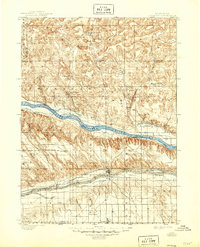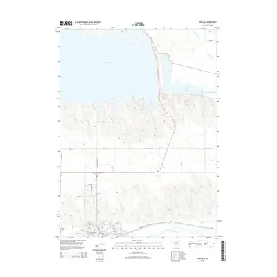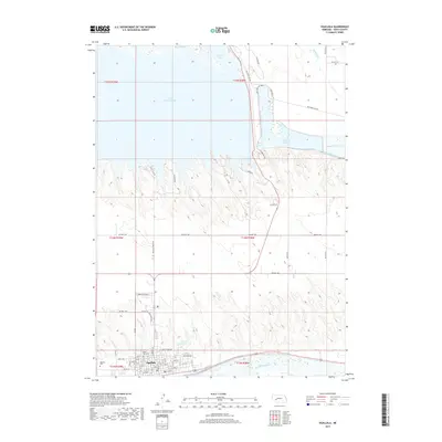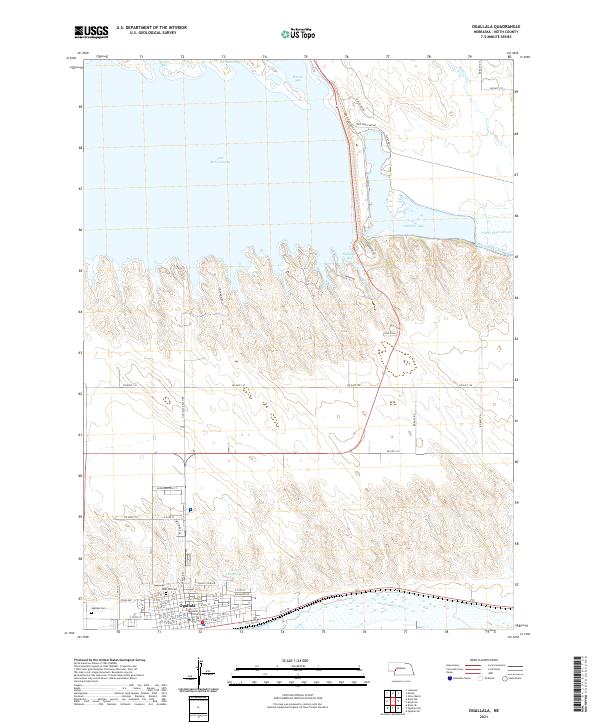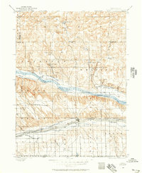
1897 Map of Ogallala
USGS Topo · Published 1957About this map
The North Platte River and South Platte River converge in this late nineteenth-century portrait of western Nebraska, a landscape defined by pioneer transit and early irrigation. The historic Old California Trail remains a visible landmark near California Hill, tracing the path of western migration alongside the more modern Union Pacific railroad line. The cattle industry and early ranching culture are deeply etched into the region's geography, with numerous family-named homesteads such as Mahaffey's Ranch, Kingsley's Ranch, and Mannon's Ranch dotting the valleys.
Find a feature on this map
52 named features on this map. Tap any name to fly to it.
Don’t see what you’re looking for? This feature index may not catch every label — zoom into the map to look around manually.
Map Details
Editions of this 1897 Ogallala Map
This is the sole edition of this map. No revisions or reprints were ever made.
Historical Maps of Ogallala Through Time
8 maps found