
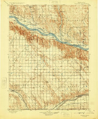
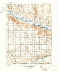
1900 Map of Chappell
USGS Topo · Published 1900About this map
The North Platte River carves a significant corridor through this Nebraska landscape, where early 20th-century irrigation efforts are evident in a dense network of gravity-fed water systems. Labels such as the Sporn Canal, Fox Canal, and Alfalfa Canal reveal the region's agricultural transition. Along the river, historical waypoints like Ash Hollow and the Rachael Pattison's Grave mark the path of westward expansion.
Find a feature on this map
64 named features on this map. Tap any name to fly to it.
Don’t see what you’re looking for? This feature index may not catch every label — zoom into the map to look around manually.
Map Details
Editions of this 1900 Chappell Map
3 editions found
Other maps of this area

1896 · Browns Creek
USGS Topo · 1:125,000

1897 · Ogallala
USGS Topo · 1:125,000

1899 · Browns Creek
USGS Topo · 1:125,000

1899 · Sidney
USGS Topo · 1:125,000

1900 · Ogallala
USGS Topo · 1:125,000

1949 · Rackett
USGS Topo · 1:62,500

1950 · Velma
USGS Topo · 1:62,500

1950 · Crescent Lake
USGS Topo · 1:62,500

1951 · Rackett
USGS Topo · 1:62,500

1953 · Ovid
USGS Topo · 1:24,000