Loading...
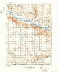
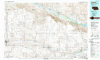
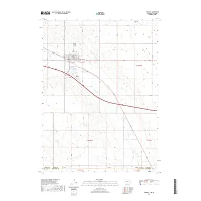
Loading map...1900 Map of Chappell
USGS Topo · Published 1949About this map
Rachael Pattison's Grave and the legendary Old California Trail mark the high ground above the North Platte River in this turn-of-the-century survey. The landscape is defined by the transition from the rugged bluffs of Ash Hollow to the extensive irrigation networks of the valley. Early infrastructure is visible through the Union Pacific railroad and a complex system of waterworks, including the Spohn Canal, Lyon's Canal, and Alfalfa Canal, which supported the burgeoning agricultural settlements.
Find a feature on this map
68 named features on this map. Tap any name to fly to it.
Don’t see what you’re looking for? This feature index may not catch every label — zoom into the map to look around manually.
Map Details
Date Portrayed1900
Date Published1949
PublisherU.S. Geological Survey
Map TypeTopographic
Scale1:125,000
Physical Dimensions17 x 20.8 inches
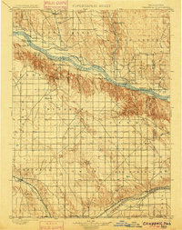
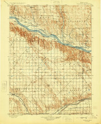
Editions of this 1900 Chappell Map
3 editions found
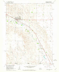
Historical Maps of Chappell Through Time
8 maps found

Featured Locations
Source Details
SourceU.S. Geological Survey
CopyrightPublic Domain