
1953 Map of Ovid
USGS Topo · Published 1954About this map
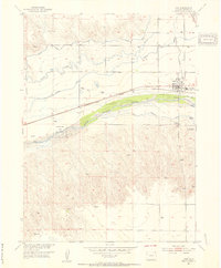
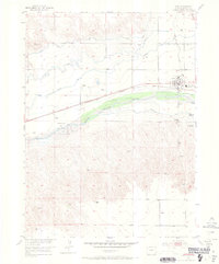
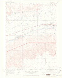
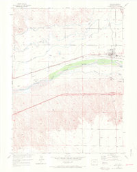
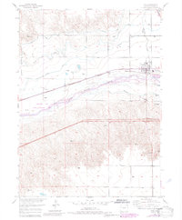
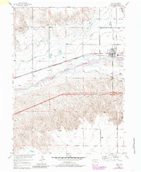
The agricultural and industrial character of Northeastern Colorado is on display in this survey of Ovid, located along the northern banks of the South Platte River. The town serves as a hub for the region's sugar beet industry, anchored by a prominent Sugar Refinery and situated along the Union Pacific railroad line. This transportation corridor facilitated the movement of crops and livestock, while the complex network of irrigation systems including the Settlers Canal, Highline Canal, and Peterson Ditch transformed the semi-arid plains into productive farmland.
Find a feature on this map
21 named features on this map. Tap any name to fly to it.
Don’t see what you’re looking for? This feature index may not catch every label — zoom into the map to look around manually.
Map Details
Editions of this 1953 Ovid Map
7 editions found
Other maps of this area

1899 · Sidney
USGS Topo · 1:125,000

1900 · Chappell
USGS Topo · 1:125,000

1952 · Julesburg SW
USGS Topo · 1:24,000

1952 · Julesburg SE
USGS Topo · 1:24,000

1952 · Marks Butte
USGS Topo · 1:24,000

1953 · Julesburg
USGS Topo · 1:24,000

1953 · Sedgwick
USGS Topo · 1:24,000

1954 · Sterling
USGS Topo · 1:250,000

1954 · Scottsbluff
USGS Topo · 1:250,000

1958 · Scottsbluff
USGS Topo · 1:250,000