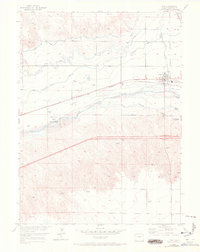
1953 Map of Ovid
USGS Topo · Published 1972About this map
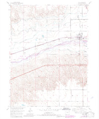
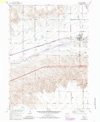
The town of Ovid serves as the industrial and agricultural hub of this northeastern Colorado landscape, defined by its position along the Union Pacific railroad. A prominent Sugar Refinery on the eastern edge of town highlights the area's economic reliance on the sugar beet industry, which flourished along the fertile river valley. This survey reveals a complex irrigation network, with the Settlers Canal, Peterson Ditch, and Reservation Ditch drawing water to the surrounding fields.
Find a feature on this map
20 named features on this map. Tap any name to fly to it.
Don’t see what you’re looking for? This feature index may not catch every label — zoom into the map to look around manually.
Map Details
Editions of this 1953 Ovid Map
7 editions found
Other maps of this area

1899 · Sidney
USGS Topo · 1:125,000

1900 · Chappell
USGS Topo · 1:125,000

1952 · Julesburg SW
USGS Topo · 1:24,000

1952 · Julesburg SE
USGS Topo · 1:24,000

1952 · Marks Butte
USGS Topo · 1:24,000

1953 · Ovid
USGS Topo · 1:24,000

1953 · Julesburg
USGS Topo · 1:24,000

1953 · Sedgwick
USGS Topo · 1:24,000

1954 · Sterling
USGS Topo · 1:250,000

1954 · Scottsbluff
USGS Topo · 1:250,000