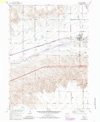
1953 Map of Ovid
USGS Topo · Published 1985About this map
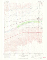
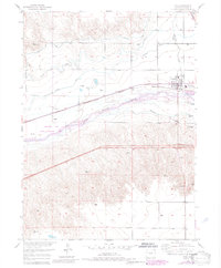
South Platte River hydrology dominates this northeastern Colorado landscape, showing an intricate network of irrigation vital to the high plains. The town of Ovid serves as the local hub, anchored by the Union Pacific rail line and the industrial presence of a Sugar Refinery. This 1953 survey, updated with 1980s data, details the agricultural engineering of the region through features like Settlers Canal, Highline Canal, and the Peterson DITCH. A notable layer of frontier history is preserved south of the river, where the Fort Sedgwick (Ruins) and the Fort Sedgwick Military Res indicate the area's 19th-century military significance. These sites, along with the Riverview School, offer specific points of interest for those tracing the transition from military outpost to settled sugar beet country.
Find a feature on this map
18 named features on this map. Tap any name to fly to it.
Don’t see what you’re looking for? This feature index may not catch every label — zoom into the map to look around manually.
Map Details
Editions of this 1953 Ovid Map
7 editions found
Other maps of this area

1899 · Sidney
USGS Topo · 1:125,000

1900 · Chappell
USGS Topo · 1:125,000

1952 · Julesburg SW
USGS Topo · 1:24,000

1952 · Julesburg SE
USGS Topo · 1:24,000

1952 · Marks Butte
USGS Topo · 1:24,000

1953 · Ovid
USGS Topo · 1:24,000

1953 · Julesburg
USGS Topo · 1:24,000

1953 · Sedgwick
USGS Topo · 1:24,000

1954 · Sterling
USGS Topo · 1:250,000

1954 · Scottsbluff
USGS Topo · 1:250,000