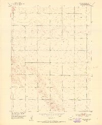
1952 Map of Julesburg SW
USGS Topo · Published 1953About this map
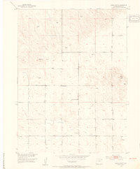
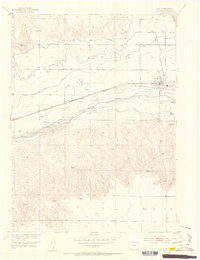
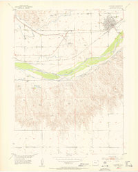
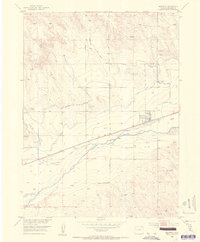
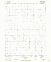
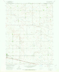
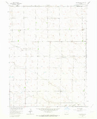
The rolling plains of Sedgwick County are meticulously documented in this survey conducted for the development of the Missouri River Basin. The landscape is defined by the ephemeral Sand Draw and a network of agricultural infrastructure, including numerous instances of a Well and Windmill positioned across the sections. These markers indicate the vital importance of groundwater management in the High Plains during the mid-century era.
Find a feature on this map
9 named features on this map. Tap any name to fly to it.
Don’t see what you’re looking for? This feature index may not catch every label — zoom into the map to look around manually.
Map Details
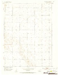
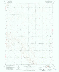
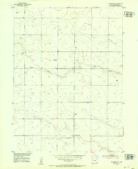
Editions of this 1952 Julesburg SW Map
3 editions found
Other maps of this area
1952 · Julesburg SE
USGS Topo · 1:24,000
1952 · Marks Butte
USGS Topo · 1:24,000
1953 · Ovid
USGS Topo · 1:24,000
1953 · Julesburg
USGS Topo · 1:24,000
1953 · Sedgwick
USGS Topo · 1:24,000

1954 · Sterling
USGS Topo · 1:250,000

1958 · Sterling
USGS Topo · 1:250,000
1962 · Holyoke NE
USGS Topo · 1:24,000
1962 · Haxtun East
USGS Topo · 1:24,000
1962 · Holyoke NW
USGS Topo · 1:24,000