
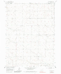
1962 Map of Holyoke NW
USGS Topo · Published 1964About this map
Fairview Ch and the Fairfield Community Hall serve as the primary social anchors for this agricultural landscape along the northern edge of Phillips County. Surveyed in the early 1960s, the terrain is defined by the ephemeral drainage of Wildhorse Creek, which winds eastward toward the Nebraska border. The map illustrates a high-plains environment where water management is vital, noted by various irrigation points and a Well near the eastern margin.
Find a feature on this map
9 named features on this map. Tap any name to fly to it.
Don’t see what you’re looking for? This feature index may not catch every label — zoom into the map to look around manually.
Map Details
Editions of this 1962 Holyoke NW Map
2 editions found
Other maps of this area

1952 · Julesburg SW
USGS Topo · 1:24,000

1952 · Julesburg SE
USGS Topo · 1:24,000

1952 · Marks Butte
USGS Topo · 1:24,000

1954 · Sterling
USGS Topo · 1:250,000

1958 · Sterling
USGS Topo · 1:250,000

1962 · Holyoke NE
USGS Topo · 1:24,000

1962 · Haxtun East
USGS Topo · 1:24,000

1971 · Paoli
USGS Topo · 1:24,000

1971 · Holyoke
USGS Topo · 1:24,000

1971 · Haxtun SE
USGS Topo · 1:24,000