
1962 Map of Holyoke NE
USGS Topo · Published 1963About this map
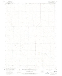
Wildhorse Creek meanders through this High Plains landscape, which is marked by the agricultural and extractive industrial patterns of the early 1960s. The map captures a detailed view of the rural infrastructure in Phillips County, characterized by scattered Storage Bins and a singular Storage Bin used for grain management across the section lines. Near the northern boundary with Sedgwick County, Gravel Pits indicate localized mining activity essential for local road building and maintenance during this era. The presence of a noted Well and fine red dashed lines indicating selected fence lines reflects the cultural development of the land, which, as noted in the margin, often diverged from the original land surveys of the Missouri River Basin project.
Find a feature on this map
6 named features on this map. Tap any name to fly to it.
Don’t see what you’re looking for? This feature index may not catch every label — zoom into the map to look around manually.
Map Details
Editions of this 1962 Holyoke NE Map
2 editions found
Other maps of this area

1952 · Julesburg SW
USGS Topo · 1:24,000

1952 · Julesburg SE
USGS Topo · 1:24,000

1954 · Sterling
USGS Topo · 1:250,000

1958 · Sterling
USGS Topo · 1:250,000

1962 · Venango SW
USGS Topo · 1:24,000

1962 · Amherst
USGS Topo · 1:24,000

1962 · Holyoke NW
USGS Topo · 1:24,000

1971 · Paoli
USGS Topo · 1:24,000

1971 · Amherst SW
USGS Topo · 1:24,000

1971 · Holyoke
USGS Topo · 1:24,000