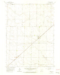
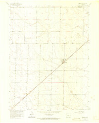
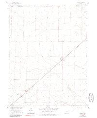
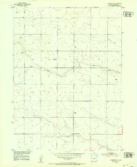
1962 Map of Amherst
USGS Topo · Published 1964About this map
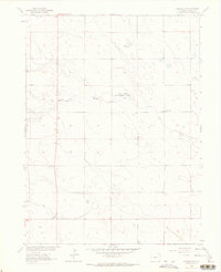
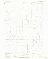
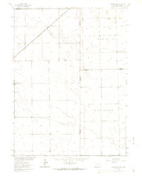
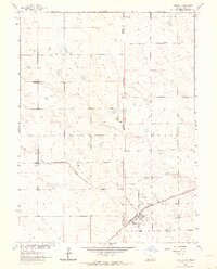
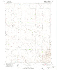
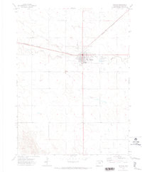
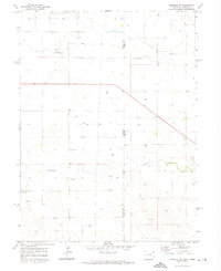
Amherst serves as the focal point of this 1960s survey of the High Plains near the Nebraska border. The town's layout is closely tied to the Chicago Burlington and Quincy railroad, which cuts diagonally across the landscape. The agrarian character of the region is evident in the sparse settlement patterns and the presence of localized features like the Amherst Cem and an Athletic Field located just north of the town center. Wildhorse Creek meanders through the southern portion of the quadrangle, providing a natural drainage feature in an otherwise strictly surveyed section-line grid. This map captures the area before modern pivots and large-scale agricultural changes, showing the relationship between the railway and the development of Phillips County.
Find a feature on this map
7 named features on this map. Tap any name to fly to it.
Don’t see what you’re looking for? This feature index may not catch every label — zoom into the map to look around manually.
Map Details
Editions of this 1962 Amherst Map
3 editions found
Other maps of this area
1952 · Julesburg SE
USGS Topo · 1:24,000

1954 · Sterling
USGS Topo · 1:250,000

1958 · Sterling
USGS Topo · 1:250,000
1962 · Venango SW
USGS Topo · 1:24,000
1962 · Holyoke NE
USGS Topo · 1:24,000
1962 · Amherst NE
USGS Topo · 1:24,000
1962 · Venango
USGS Topo · 1:24,000
1971 · Amherst SW
USGS Topo · 1:24,000
1971 · Holyoke
USGS Topo · 1:24,000
1971 · Amherst SE
USGS Topo · 1:24,000