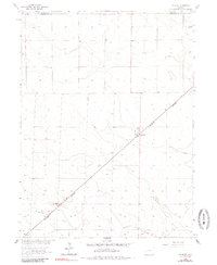
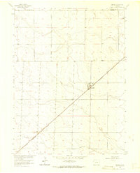
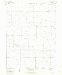
1962 Map of Amherst
USGS Topo · Published 1985About this map
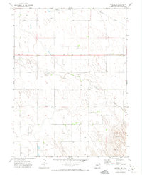
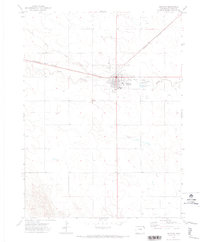
Amherst sits at the junction of the section-line roads and the Burlington Northern railroad, serving as a concentrated hub of activity in the northeastern corner of Phillips County. This 1962 topography reveals a landscape meticulously organized by the Public Land Survey System, where the agricultural grid is interrupted only by the diagonal path of the railway and the meandering course of Wildhorse Creek to the south. Local community life is anchored by the Athletic Field and the Amherst Cem, which lies just north of the primary settlement. The prevalence of features such as Well 3686 and Well 3696 underscores the critical role of groundwater management in this high plains environment during the early 1960s. The map also clearly delineates the political boundary between Sedgwick and Phillips counties in its northern reaches.
Find a feature on this map
8 named features on this map. Tap any name to fly to it.
Don’t see what you’re looking for? This feature index may not catch every label — zoom into the map to look around manually.
Map Details
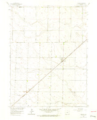
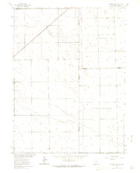
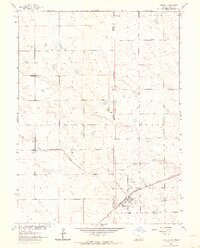
Editions of this 1962 Amherst Map
3 editions found
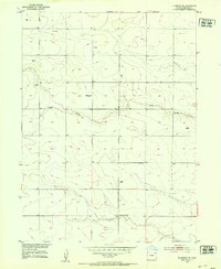
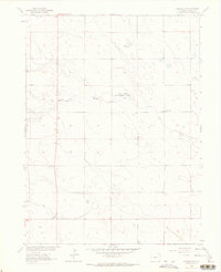
Other maps of this area
1952 · Julesburg SE
USGS Topo · 1:24,000

1954 · Sterling
USGS Topo · 1:250,000

1958 · Sterling
USGS Topo · 1:250,000
1962 · Venango SW
USGS Topo · 1:24,000
1962 · Holyoke NE
USGS Topo · 1:24,000
1962 · Amherst
USGS Topo · 1:24,000
1962 · Amherst NE
USGS Topo · 1:24,000
1962 · Venango
USGS Topo · 1:24,000
1971 · Amherst SW
USGS Topo · 1:24,000
1971 · Holyoke
USGS Topo · 1:24,000