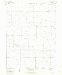
1962 Map of Amherst
USGS Topo · Published 1964About this map
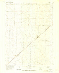
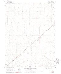
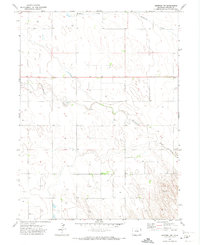
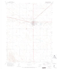
Amherst serves as the focal point of this high plains landscape, situated at the crossroads of early 1960s local commerce and regional transit. The Chicago Burlington and Quincy railroad cuts a sharp diagonal through the terrain, dictating the orientation of the town's grid and the placement of the Athletic Field. This corridor highlights the critical role of rail transport in the agricultural economy of the Colorado plains, connecting isolated grain-handling points to larger markets. To the south, the meandering path of Wildhorse Creek provides a natural contrast to the rigid section lines and surveyor-defined boundaries. On the northern edge of the map, the Sedgwick Co and Phillips Co line marks the administrative divide in an area otherwise defined by wide-open drainage patterns and the Amherst Cem.
Find a feature on this map
6 named features on this map. Tap any name to fly to it.
Don’t see what you’re looking for? This feature index may not catch every label — zoom into the map to look around manually.
Map Details
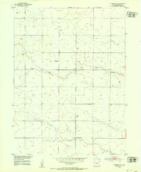
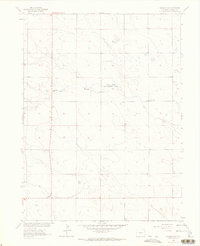
Editions of this 1962 Amherst Map
3 editions found
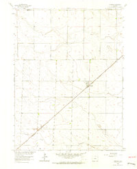
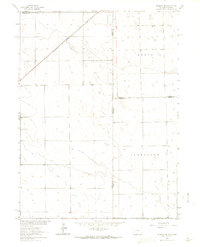
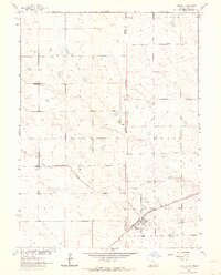
Other maps of this area
1952 · Julesburg SE
USGS Topo · 1:24,000

1954 · Sterling
USGS Topo · 1:250,000

1958 · Sterling
USGS Topo · 1:250,000
1962 · Venango SW
USGS Topo · 1:24,000
1962 · Holyoke NE
USGS Topo · 1:24,000
1962 · Amherst
USGS Topo · 1:24,000
1962 · Amherst NE
USGS Topo · 1:24,000
1962 · Venango
USGS Topo · 1:24,000
1971 · Amherst SW
USGS Topo · 1:24,000
1971 · Holyoke
USGS Topo · 1:24,000