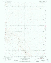
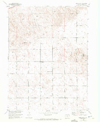
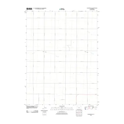
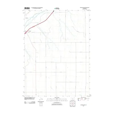
1952 Map of Julesburg SW
USGS Topo · Published 1976About this map
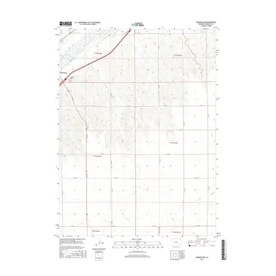
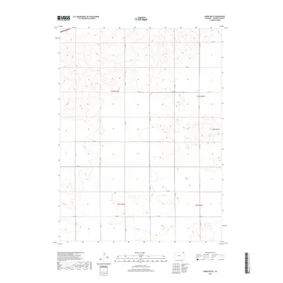
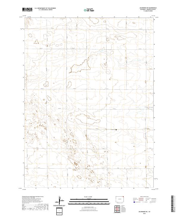
The high plains of Sedgwick County are depicted here in a landscape defined by isolated homesteads and essential rural infrastructure. Surveyed in the early 1950s, the map reveals a shift in the local educational landscape, noting both the Never Fail School and the already closed Prairie View School and Westside School. These small schoolhouses once served the dispersed farming families of the Missouri River Basin development area. The topography is marked by subtle relief and dry drainage patterns, most notably the Sand Draw and the high point at VABM 3940 Crist. For genealogists, the Woodham Cemetery remains a primary anchor for the community, while the numerous labels for Windmill sites emphasize the critical importance of groundwater for survival in this arid stretch of Colorado.
Find a feature on this map
9 named features on this map. Tap any name to fly to it.
Don’t see what you’re looking for? This feature index may not catch every label — zoom into the map to look around manually.
Map Details
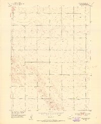
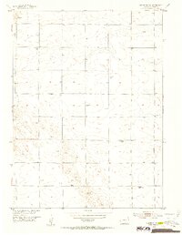
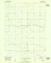
Editions of this 1952 Julesburg SW Map
3 editions found
Historical Maps of Sedgwick County Through Time
36 maps found
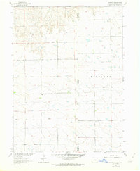
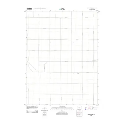
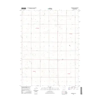
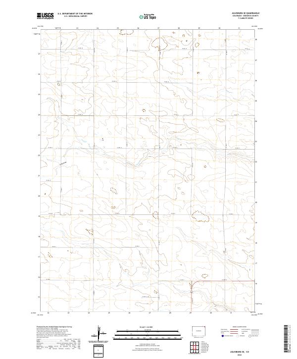
1952 Julesburg SE
Sedgwick County, CO
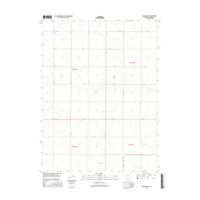
1952 Julesburg SW
Sedgwick County, CO
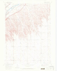
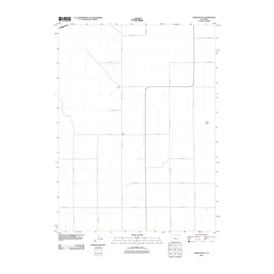
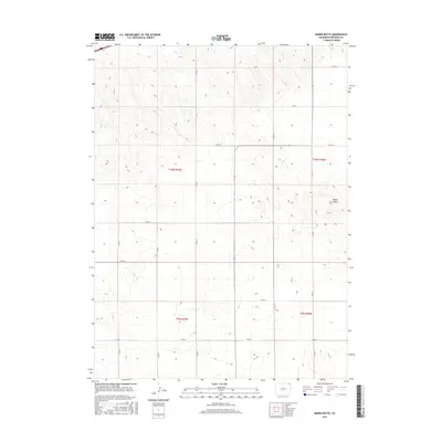
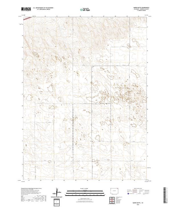
1952 Marks Butte
Sedgwick County, CO
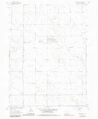
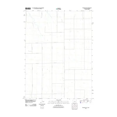
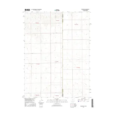
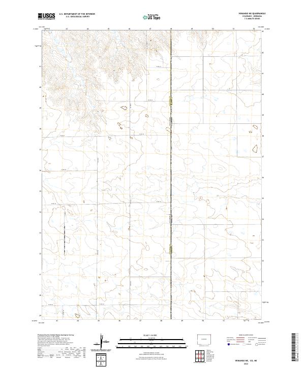
1962 Venango NE
Sedgwick County, CO
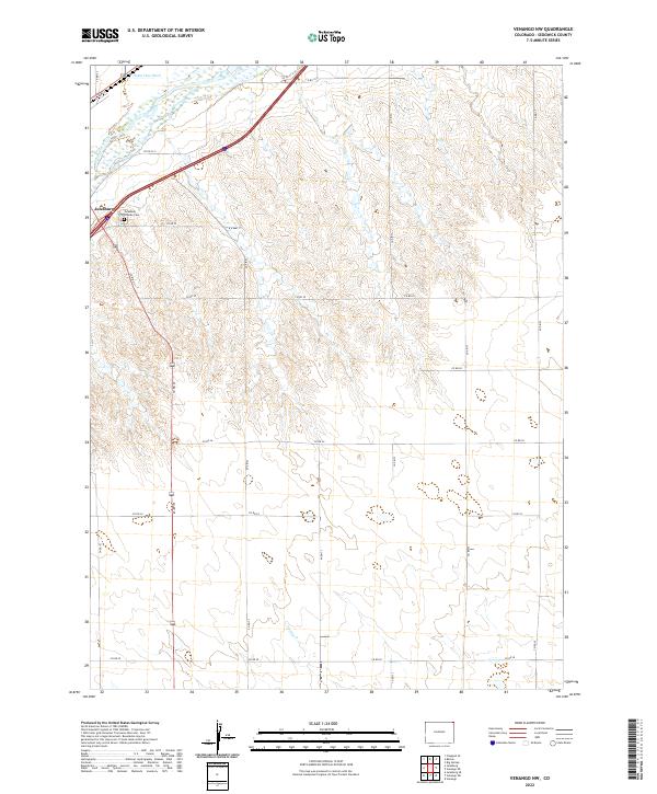
1962 Venango NW
Sedgwick County, CO
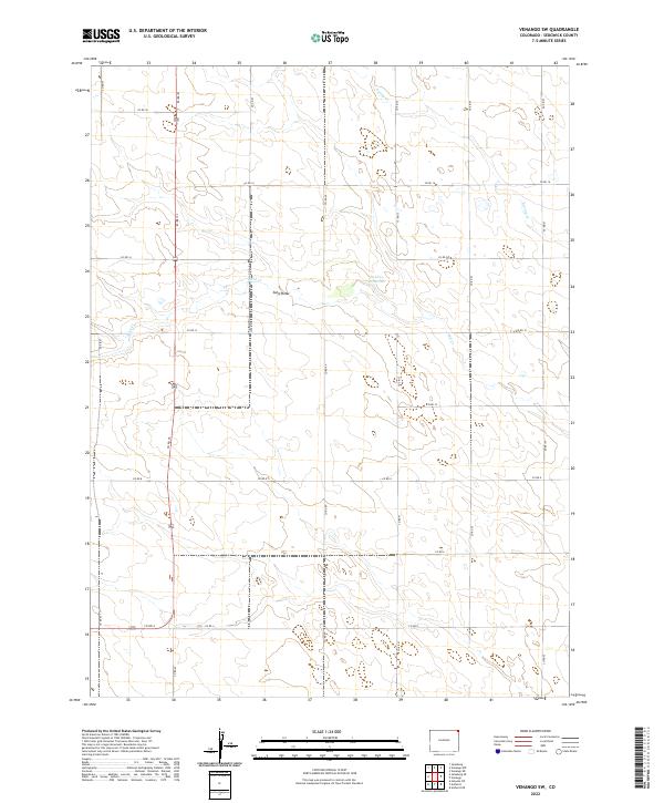
1962 Venango SW
Sedgwick County, CO
2010 Julesburg SE
Sedgwick County, CO
2010 Julesburg SW
Sedgwick County, CO
2010 Marks Butte
Sedgwick County, CO
2010 Venango NE
Sedgwick County, CO
2010 Venango NW
Sedgwick County, CO
2010 Venango SW
Sedgwick County, CO
2013 Julesburg SE
Sedgwick County, CO
2013 Julesburg SW
Sedgwick County, CO
2013 Marks Butte
Sedgwick County, CO
2013 Venango NE
Sedgwick County, CO
2013 Venango NW
Sedgwick County, CO
2013 Venango SW
Sedgwick County, CO
2016 Julesburg SE
Sedgwick County, CO
2016 Julesburg SW
Sedgwick County, CO
2016 Marks Butte
Sedgwick County, CO
2016 Venango NE
Sedgwick County, CO
2016 Venango NW
Sedgwick County, CO
2016 Venango SW
Sedgwick County, CO
2019 Julesburg SE
Sedgwick County, CO
2019 Julesburg SW
Sedgwick County, CO
2019 Marks Butte
Sedgwick County, CO
2019 Venango NE
Sedgwick County, CO
2019 Venango NW
Sedgwick County, CO
2019 Venango SW
Sedgwick County, CO
2022 Julesburg SE
Sedgwick County, CO
2022 Julesburg SW
Sedgwick County, CO
2022 Marks Butte
Sedgwick County, CO
2022 Venango NE
Sedgwick County, CO
2022 Venango NW
Sedgwick County, CO
2022 Venango SW
Sedgwick County, CO