
1953 Map of Julesburg
USGS Topo · Published 1954About this map
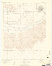
Julesburg serves as the focal point of this northeast Colorado landscape, positioned at a critical junction of the Union Pacific railroad and the South Platte River. The map highlights the town's transition from a frontier outpost to an established agricultural hub, featuring the Julesburg Water Works and the Julesburg Municipal Airport. Historical depth is visible in the valley, where the Fort Julesburg (Ruins) and a nearby Historical Marker denote the earlier pioneer era.
Find a feature on this map
26 named features on this map. Tap any name to fly to it.
Don’t see what you’re looking for? This feature index may not catch every label — zoom into the map to look around manually.
Map Details
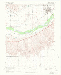
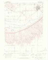
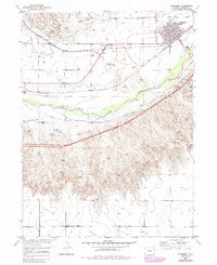
Editions of this 1953 Julesburg Map
5 editions found
Other maps of this area

1900 · Chappell
USGS Topo · 1:125,000

1952 · Julesburg SW
USGS Topo · 1:24,000

1952 · Julesburg SE
USGS Topo · 1:24,000

1953 · Ovid
USGS Topo · 1:24,000

1954 · Sterling
USGS Topo · 1:250,000

1954 · Scottsbluff
USGS Topo · 1:250,000

1958 · Scottsbluff
USGS Topo · 1:250,000

1958 · Sterling
USGS Topo · 1:250,000

1961 · Chappell
USGS Topo · 1:24,000

1961 · Barton
USGS Topo · 1:24,000