Old Maps of Saint Francis, St. Francis
Explore 13 old maps of Saint Francis, spanning from 1942 to today. These high-resolution historic maps reveal how streets, neighborhoods, landmarks, and natural features evolved over time — perfect for genealogy, metal detecting, research, and local history exploration.
What you can do with these maps:
- See how Saint Francis changed over time: Compare historical maps to modern-day views to trace roads, homesites, rail lines & more.
- View detailed metadata: Each map includes creators, publishers, year, scale, and archive source.
- Overlay maps with satellite & LiDAR: Visualize the past alongside modern tools to explore terrain & human change.
- Trusted historical sources: Maps sourced from the USGS, Library of Congress, and other archives.
- Access maps your way: View online, download high-res files, or order prints for personal or research use.
Start exploring old maps of Saint Francis to uncover forgotten places, hidden landmarks, and the deep history beneath your feet.
Saint Francis, St. Francis maps
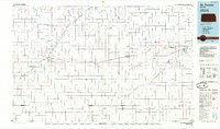
(13)- 1942 Map of St. Francis, 1943 Print
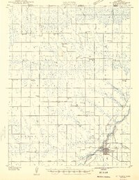 1942 St. Francis1943 Print · USGSCheyenne County and the Nebraska-Kansas border appear in the early 1940s as a landscape of rural schools and river-fed agriculture. Genealogists can locate family landmarks such as German Plains Sch, St Francis Cem, and the Zion Ch.
 - 1943 Map of St. Francis, 1949 Print
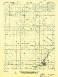 1943 St. Francis1949 Print · USGSWestern Kansas prairie life is captured here during the 1940s, centered on the river valley and rail lines of Cheyenne County. Trace the locations of rural schoolhouses and churches like German Plains Sch, Zion Ch, and the St Francis townsite.
 - 1951 Map of St Francis
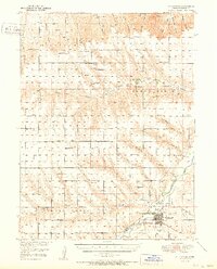 1951 St Francis1951 Print · USGSNorthwest Kansas at mid-century reveals a landscape of dispersed prairie homesteads and a dense network of rural schoolhouses. Genealogists and local historians can trace the foundations of this community through landmarks like Scrivner Ranch, the German Plains Cem, and Northrup Sch.3 unique versions available
 - 1954 Map of Goodland, 1976 Print
 1954 Goodland1976 Print · USGSNorthwest Kansas comes into focus during the mid-1950s, showing a landscape defined by its vital river forks and thriving rail towns. Researchers can trace the path of the Union Pacific through Colby or locate historic parks like Sheridan Co State Park.
 - 1956 Map of Goodland
 1956 Goodland1956 Print · USGSThe high plains of Northwest Kansas in the mid-fifties reveal a landscape of river-fed agriculture and expanding rail networks. Genealogists and historians can trace the development of county seats like Goodland and Atwood or locate landmarks such as the Arikaree Breaks.
 - 1957 Map of Goodland
 1957 Goodland1957 Print · USGSNorthwest Kansas in the mid-1950s shows a landscape of high plains agriculture and vital rail junctions. Researchers can trace the river-valley settlements from Goodland to Oberlin and follow the paths of the Union Pacific and Sappa Creek.2 unique versions available
 - 1978 Map of St Francis
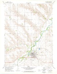 1978 St Francis1978 Print · USGSThe Kansas high plains meet the winding forks of the Republican River in the late seventies. Researchers can trace local genealogy at Zion Cem and G A R Cem or follow the transition from the Old Railroad Grade to active rail lines.
 - 1985 Map of St. Francis
 1985 St. Francis1985 Print · USGSNorthwest Kansas in the mid-1980s shows a classic High Plains settlement pattern anchored by the Burlington Northern rail line. Genealogists and researchers can trace local landmarks from St Francis to Atwood, including rural aviation sites like Bird City's landing field and the St Francis State Wildlife Management Area.2 unique versions available
 - 2009 Map of Saint Francis, 2009 Print
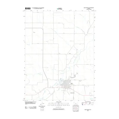 2009 Saint Francis2009 Print · USGSCovers Saint Francis, including St. Francis, Cheyenne County, and other nearby areas
 - 2012 Map of Saint Francis, 2012 Print
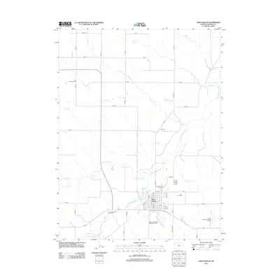 2012 Saint Francis2012 Print · USGSCovers Saint Francis, including St. Francis, Cheyenne County, and other nearby areas
 - 2015 Map of Saint Francis, 2015 Print
 2015 Saint Francis2015 Print · USGSCovers Saint Francis, including St. Francis, Cheyenne County, and other nearby areas
 - 2018 Map of Saint Francis, 2018 Print
 2018 Saint Francis2018 Print · USGSCovers Saint Francis, including St. Francis, Cheyenne County, and other nearby areas
 - 2022 Map of Saint Francis, 2022 Print
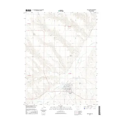
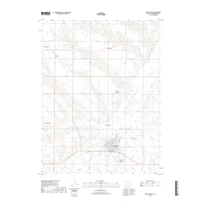
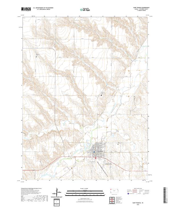 2022 Saint Francis2022 Print · USGSCheyenne County at the turn of the 2020s remains centered on the river-valley community of St. Francis. Researchers can trace local history through the Cheyenne County Courthouse and distinct burial grounds like the Grand Army of the Republic Cem.
End of results
Showing maps 1-13 of 13
Frequently asked questions
- What are the different types of historical maps available for Saint Francis?
- What is the oldest map of Saint Francis?
- Where can I purchase historical maps of Saint Francis for my home or office?
- Where can I download high-res historical maps of Saint Francis?
- Are there historical topographic maps available for Saint Francis?
- Is there historical aerial imagery available for Saint Francis?
- Where are historical maps of Saint Francis sourced from?