
1951 Map of St Francis
USGS Topo · Published 1951About this map
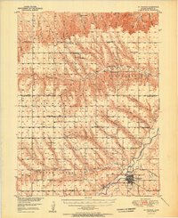
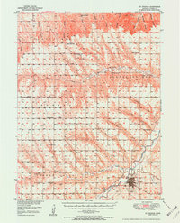
St Francis sits at the convergence of the Republican River and its South Fork, serving as a vital agricultural and transport hub in the northwest corner of Kansas. This mid-century survey reveals a landscape defined by an extensive network of rural schools and churches that once anchored these prairie townships. Educational landmarks like the Green Valley Sch, White Sch, and Smith Sch are interspersed with religious centers such as Emanuel Ch and Salem Ch, mapping out the social fabric of the era. The Chicago Burlington and Quincy railroad line terminates in town, illustrating the rail-dependent economy of the High Plains. To the north and west, the terrain breaks into numerous drainages including Sand Canyon and Wilson Canyon, leading toward the Nebraska State Line and Colorado State Line.
Find a feature on this map
48 named features on this map. Tap any name to fly to it.
Don’t see what you’re looking for? This feature index may not catch every label — zoom into the map to look around manually.
Map Details
Editions of this 1951 St Francis Map
3 editions found
Other maps of this area

1942 · St. Francis
USGS Topo · 1:62,500

1943 · St. Francis
USGS Topo · 1:62,500

1950 · Bonny Reservoir
USGS Topo · 1:62,500

1951 · Bird City North
USGS Topo · 1:62,500

1951 · Bird City South
USGS Topo · 1:62,500

1952 · St Francis 3
USGS Topo · 1:62,500

1954 · Limon
USGS Topo · 1:250,000

1954 · Sterling
USGS Topo · 1:250,000

1954 · McCook
USGS Topo · 1:250,000

1954 · Goodland
USGS Topo · 1:250,000