Loading...
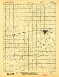
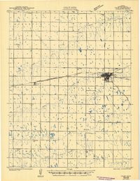
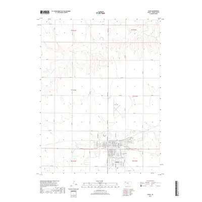
Loading map...1943 Map of Colby
USGS Topo · Published 1943About this map
Colby stands as the primary hub of this High Plains landscape, situated at the junction of the Union Pacific and the Chicago Rock Island and Pacific railroads. The town's grid is remarkably dense for the era, established near the headwaters of Prairie Dog Creek. The surrounding Thomas County terrain is defined by a systematic township and range grid, where rural life is anchored by a series of local schools including Abilene Sch, Lone Willow Sch, and Soddy Sch.
Find a feature on this map
28 named features on this map. Tap any name to fly to it.
Don’t see what you’re looking for? This feature index may not catch every label — zoom into the map to look around manually.
Map Details
Date Portrayed1943
Date Published1943
PublisherU.S. Geological Survey
Map TypeTopographic
Scale1:62,500
Physical Dimensions15.4 x 19.96 inches
Editions of this 1943 Colby Map
2 editions found
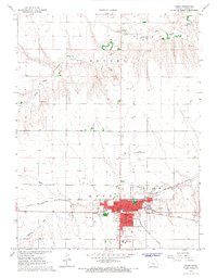
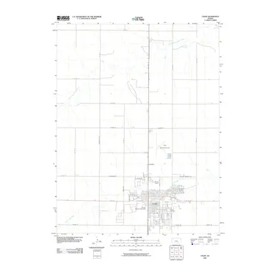
Historical Maps of Colby Through Time
7 maps found

Featured Locations
Source Details
SourceU.S. Geological Survey
CopyrightPublic Domain