
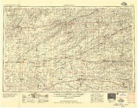
1957 Map of Goodland
USGS Topo · Published 1957About this map
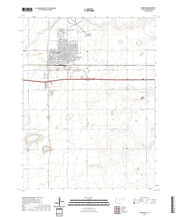
Sherman County and the high plains of Northwest Kansas are defined by a rhythmic drainage pattern of eastward-flowing rivers in this mid-century survey. The landscape is carved by the South Fork Republican River, Beaver Creek, and the Sappa Creek system, creating parallel valleys that dictated the placement of early settlements. Major rail corridors, including the Union Pacific and the Chicago Rock Island and Pacific, follow these natural contours, connecting grain hubs like Goodland, Colby, and Oakley.
Find a feature on this map
117 named features on this map. Tap any name to fly to it.
Don’t see what you’re looking for? This feature index may not catch every label — zoom into the map to look around manually.
Map Details
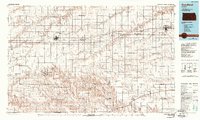
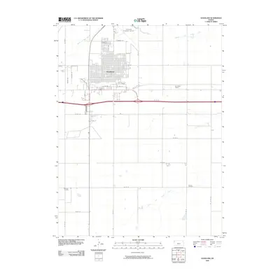
Editions of this 1957 Goodland Map
2 editions found
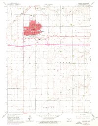
Historical Maps of Colby Through Time
10 maps found

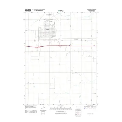
1954 Goodland
Sherman County, KS

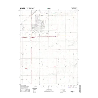
1956 Goodland
Sherman County, KS
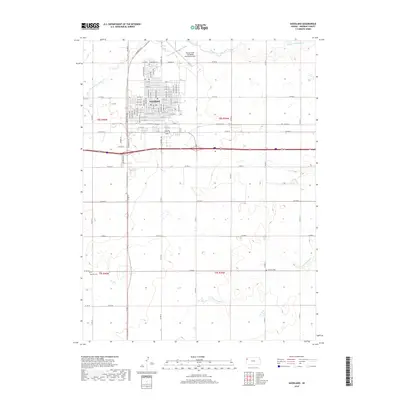
1957 Goodland
Sherman County, KS
1966 Goodland
Sherman County, KS
1985 Goodland
Sherman County, KS
2009 Goodland
Sherman County, KS
2012 Goodland
Sherman County, KS
2015 Goodland
Sherman County, KS
2018 Goodland
Sherman County, KS
2022 Goodland
Sherman County, KS