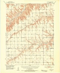
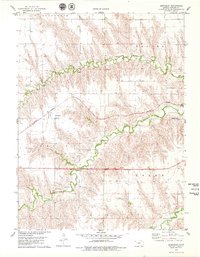
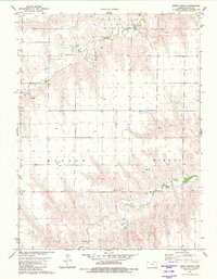
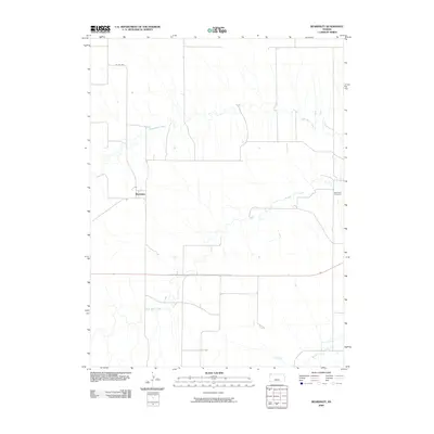
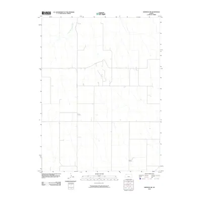
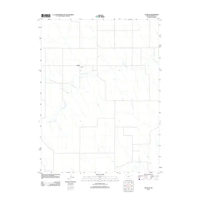
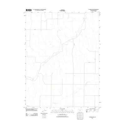
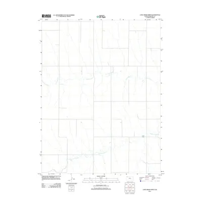
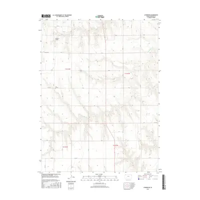
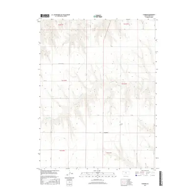
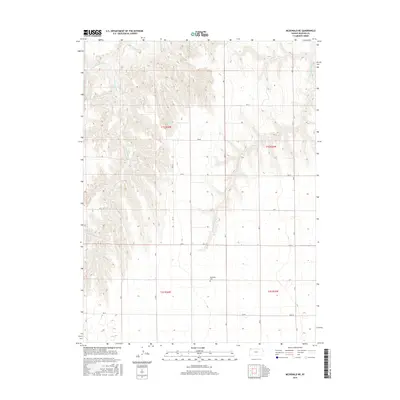
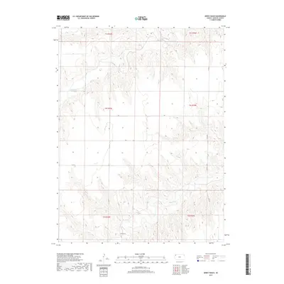
1951 Map of Chardon
USGS Topo · Published 1952About this map
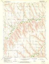
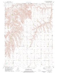
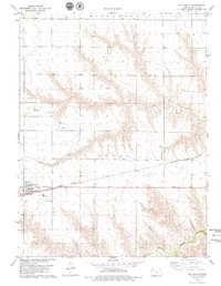
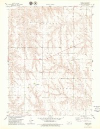
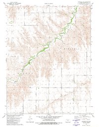
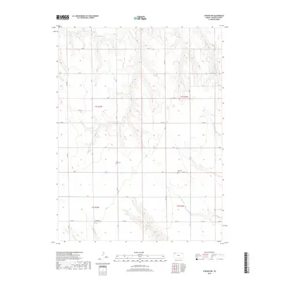
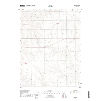
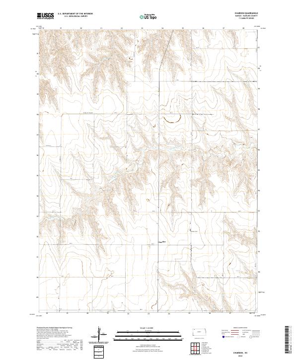
Chardon serves as the focal point for this agrarian landscape in Northwest Kansas, where the high plains are deeply dissected by the drainage systems of Sappa Creek and Beaver Creek. The 1951 topography reveals a community structured around small rural school districts and family-named landmarks, reflecting the settled nature of the region prior to widespread school consolidation. Educational and spiritual life is anchored by facilities such as the Chardon Sch, Mirage Sch, and Stevens Chapel.
Find a feature on this map
31 named features on this map. Tap any name to fly to it.
Don’t see what you’re looking for? This feature index may not catch every label — zoom into the map to look around manually.
Map Details
Editions of this 1951 Chardon Map
This is the sole edition of this map. No revisions or reprints were ever made.
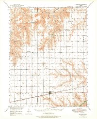
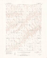
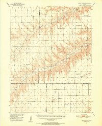
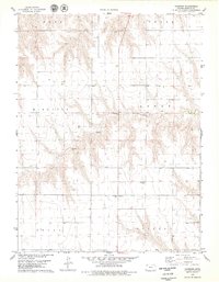
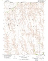
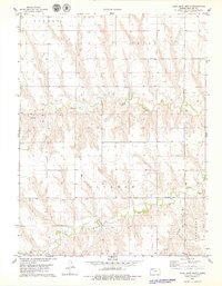
Historical Maps of Chardon Through Time
72 maps found
1950 Mc Donald
Rawlins County, KS
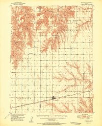
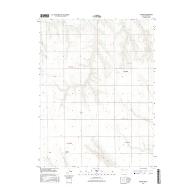
1951 Achilles
Rawlins County, KS
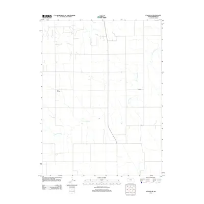
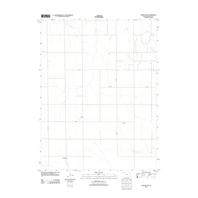
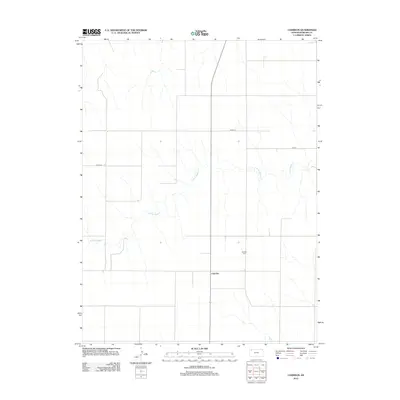
1951 Chardon
Rawlins County, KS
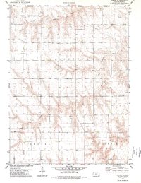
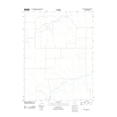
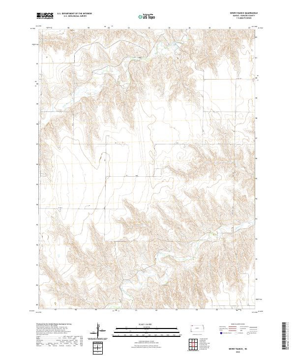
1951 Dewey Ranch
Rawlins County, KS
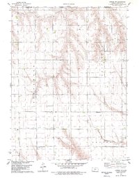
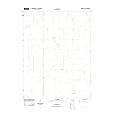
1951 Mc Donald
Rawlins County, KS
1965 Achilles
Rawlins County, KS
1978 Atwood NE
Rawlins County, KS
1978 Atwood NW
Rawlins County, KS
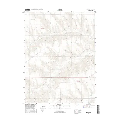
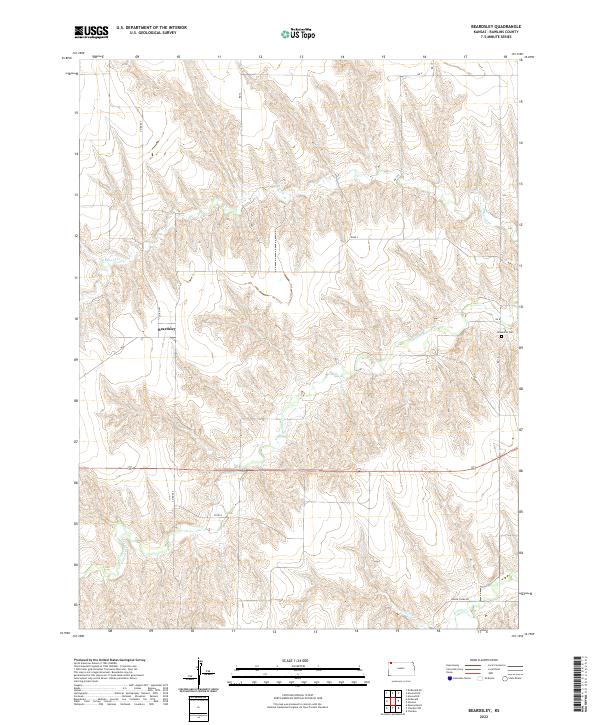
1978 Beardsley
Rawlins County, KS
1978 Chardon
Rawlins County, KS
1978 Herndon NW
Rawlins County, KS
1978 Long Draw North
Rawlins County, KS
1978 Mc Donald NE
Rawlins County, KS
1978 Mc Donald
Rawlins County, KS
1978 Midway
Rawlins County, KS
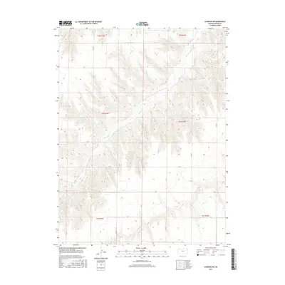
1981 Chardon NW
Rawlins County, KS
1981 Dewey Ranch
Rawlins County, KS
2009 Achilles
Rawlins County, KS
2009 Atwood NE
Rawlins County, KS
2009 Atwood NW
Rawlins County, KS
2009 Beardsley
Rawlins County, KS
2009 Chardon NW
Rawlins County, KS
2009 Chardon
Rawlins County, KS
2009 Dewey Ranch
Rawlins County, KS
2009 Herndon NW
Rawlins County, KS
2009 Long Draw North
Rawlins County, KS
2009 McDonald NE
Rawlins County, KS
2009 Midway
Rawlins County, KS
2012 Achilles
Rawlins County, KS
2012 Atwood NE
Rawlins County, KS
2012 Atwood NW
Rawlins County, KS
2012 Beardsley
Rawlins County, KS
2012 Chardon NW
Rawlins County, KS
2012 Chardon
Rawlins County, KS
2012 Dewey Ranch
Rawlins County, KS
2012 Herndon NW
Rawlins County, KS
2012 Long Draw North
Rawlins County, KS
2012 McDonald NE
Rawlins County, KS
2012 Midway
Rawlins County, KS
2015 Achilles
Rawlins County, KS
2015 Atwood NE
Rawlins County, KS
2015 Atwood NW
Rawlins County, KS
2015 Beardsley
Rawlins County, KS
2015 Chardon NW
Rawlins County, KS
2015 Chardon
Rawlins County, KS
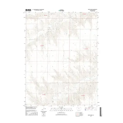
2015 Dewey Ranch
Rawlins County, KS
2015 Herndon NW
Rawlins County, KS
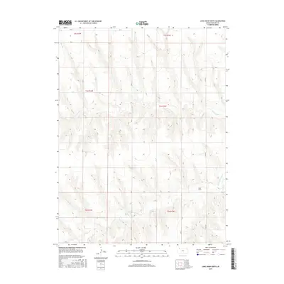
2015 Long Draw North
Rawlins County, KS
2015 McDonald NE
Rawlins County, KS
2015 Midway
Rawlins County, KS
2018 Achilles
Rawlins County, KS
2018 Atwood NE
Rawlins County, KS
2018 Atwood NW
Rawlins County, KS
2018 Beardsley
Rawlins County, KS
2018 Chardon NW
Rawlins County, KS
2018 Chardon
Rawlins County, KS
2018 Dewey Ranch
Rawlins County, KS
2018 Herndon NW
Rawlins County, KS
2018 Long Draw North
Rawlins County, KS
2018 McDonald NE
Rawlins County, KS
2018 Midway
Rawlins County, KS
2022 Achilles
Rawlins County, KS
2022 Atwood NE
Rawlins County, KS
2022 Atwood NW
Rawlins County, KS
2022 Beardsley
Rawlins County, KS
2022 Chardon NW
Rawlins County, KS
2022 Chardon
Rawlins County, KS
2022 Dewey Ranch
Rawlins County, KS
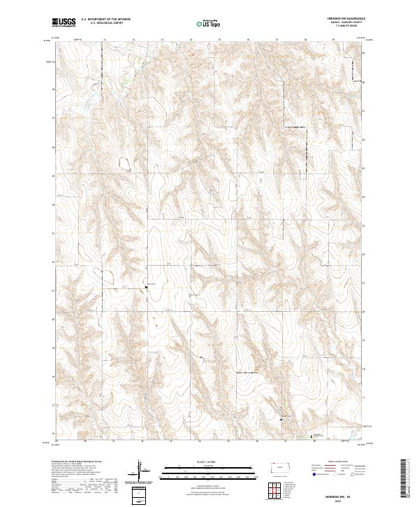
2022 Herndon NW
Rawlins County, KS
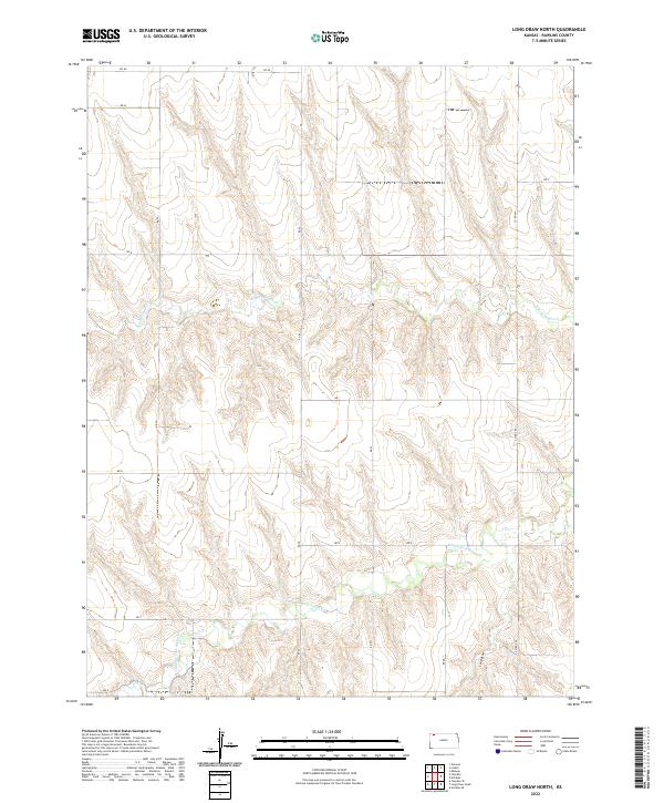
2022 Long Draw North
Rawlins County, KS
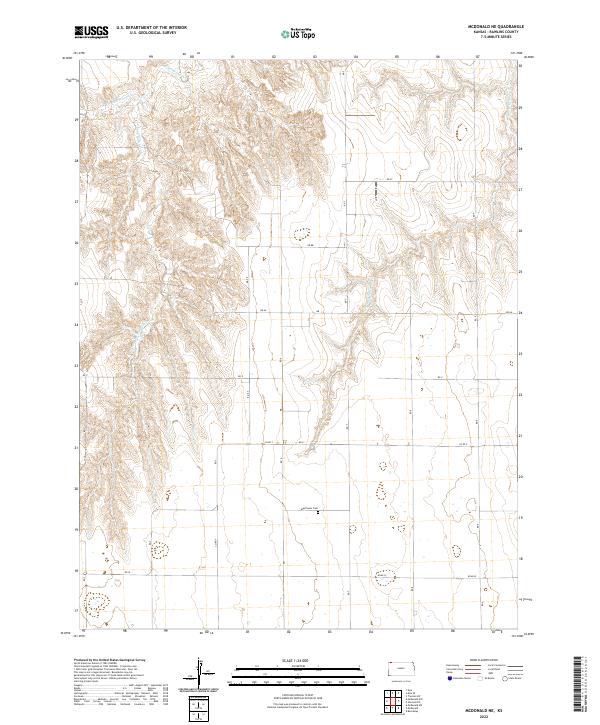
2022 McDonald NE
Rawlins County, KS
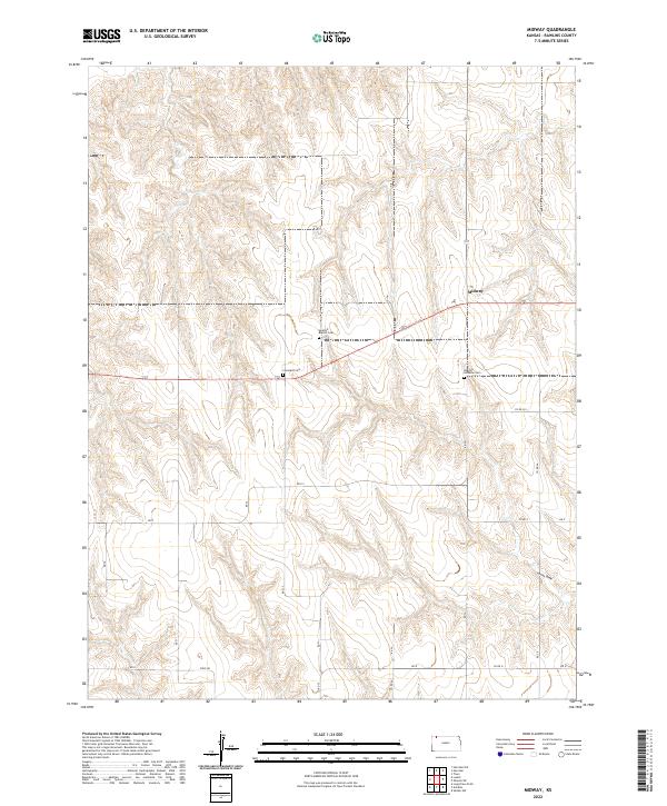
2022 Midway
Rawlins County, KS