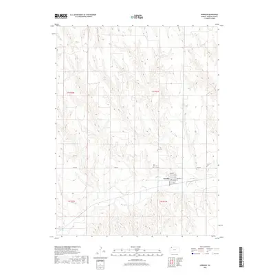
1951 Map of Herndon
USGS Topo · Published 1952About this map
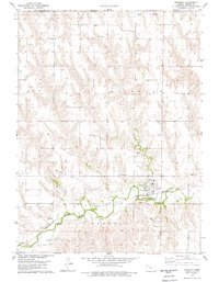
Herndon sits at the confluence of several drainages in the high plains of northwest Kansas, serving as a primary hub for this agricultural landscape. The settlement of Ludell lies to the west along the banks of Beaver Creek, where the valley provides a natural corridor through the surrounding tablelands. This 1951 survey reveals a high density of rural infrastructure, particularly country schools like Walsh Sch, Linda Sch, and Pleasant View Sch, which were central to the community's early 20th-century social fabric. The distribution of these schools and various cemeteries, such as Union Cem and Immanuel Cem, reflects the dispersed but organized settlement pattern typical of the Missouri River Basin development era. The map traces the winding course of Beaver Creek, illustrating the importance of water access and floodplain management in this semi-arid region.
Find a feature on this map
15 named features on this map. Tap any name to fly to it.
Don’t see what you’re looking for? This feature index may not catch every label — zoom into the map to look around manually.
Map Details
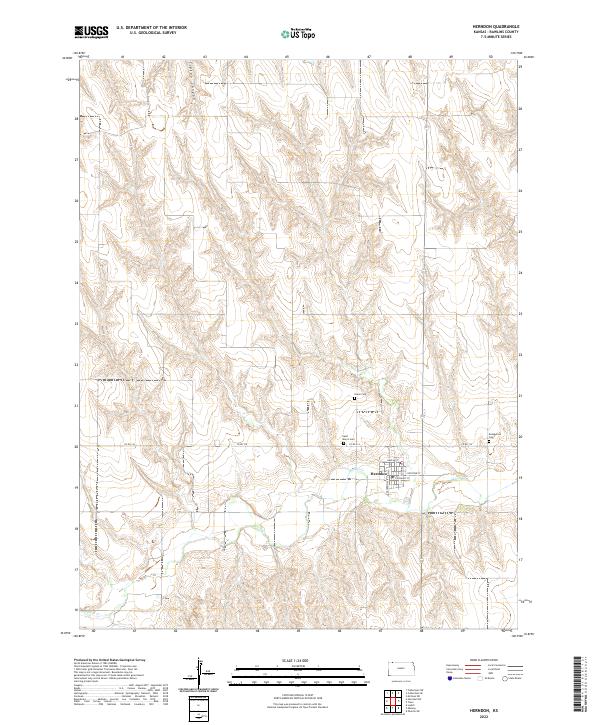
Editions of this 1951 Herndon Map
This is the sole edition of this map. No revisions or reprints were ever made.
Historical Maps of Herndon Through Time
7 maps found