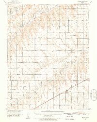
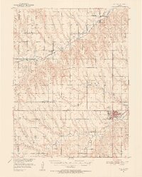
1951 Map of Selden
USGS Topo · Published 1952About this map
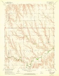
High plains agriculture and a dense network of early rural institutions define this mid-century look at Sheridan and Decatur Counties. The town of Selden serves as the primary rail hub, situated along the Chicago Rock Island and Pacific railroad. The surrounding townships, including Bassettville and Prairie Dog, are characterized by a high concentration of country schools such as Vickers Sch and Plainview Sch, reflecting the community-centric settlement pattern of the era.
Find a feature on this map
37 named features on this map. Tap any name to fly to it.
Don’t see what you’re looking for? This feature index may not catch every label — zoom into the map to look around manually.
Map Details
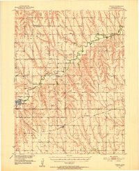
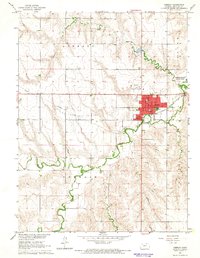
Editions of this 1951 Selden Map
2 editions found
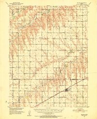
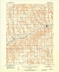
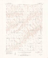
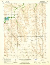
Other maps of this area
1951 · Herndon
USGS Topo · 1:62,500
1951 · Achilles
USGS Topo · 1:62,500
1951 · Oberlin
USGS Topo · 1:62,500
1951 · Kanona
USGS Topo · 1:62,500

1954 · Goodland
USGS Topo · 1:250,000

1956 · Goodland
USGS Topo · 1:250,000

1957 · Goodland
USGS Topo · 1:250,000
1965 · Oberlin
USGS Topo · 1:24,000
1965 · Kanona
USGS Topo · 1:24,000
1965 · Oberlin SW
USGS Topo · 1:24,000