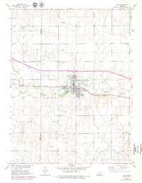
1893 Map of Ellis
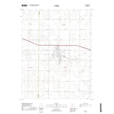
USGS Topo · Published 1925About this map
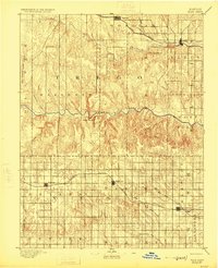
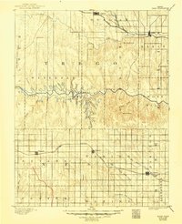
The Smoky Hill River carves a deep, sinuous path across the central plains of western Kansas, where dramatic topography like Cedar Bluff and Goat Canyon breaks the prairie horizon. Surveyed in the early 1890s, the landscape is defined by its two primary corridors of transit and settlement. In the north, the Union Pacific Railroad links the towns of Ellis and Ogallah as it follows the valley of Big Creek. Further south, the Missouri Pacific Railroad cuts through the townships of Waring and Hampton, connecting the early communities of Ransom, Brownell, and Mc Cracken. This 1891 survey, produced under topographer Henry Gannett, illustrates a moment when the grid system of the Great Plains was established over the varied terrain of the High Plains, noted by distinctive landmarks such as Round Mound and the Cedar Gorge.
Find a feature on this map
33 named features on this map. Tap any name to fly to it.
Don’t see what you’re looking for? This feature index may not catch every label — zoom into the map to look around manually.
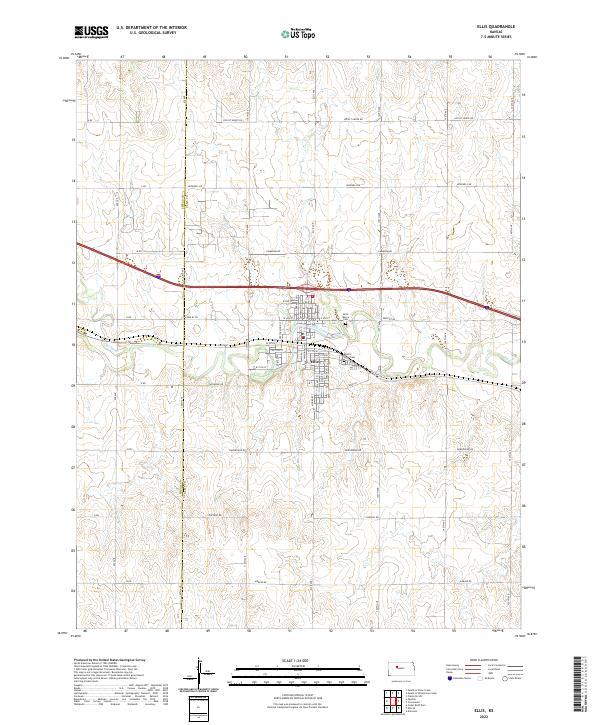
Map Details
Editions of this 1893 Ellis Map
4 editions found

Historical Maps of Ellis Through Time
7 maps found