1892 Map of Dodge
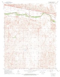
USGS Topo · Published 1949About this map
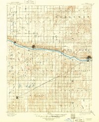
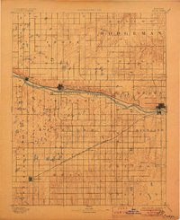
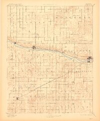
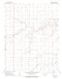
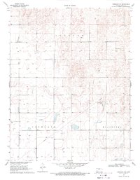
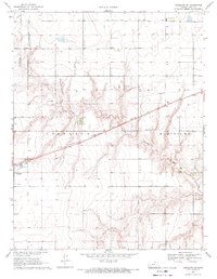
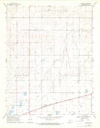
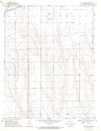
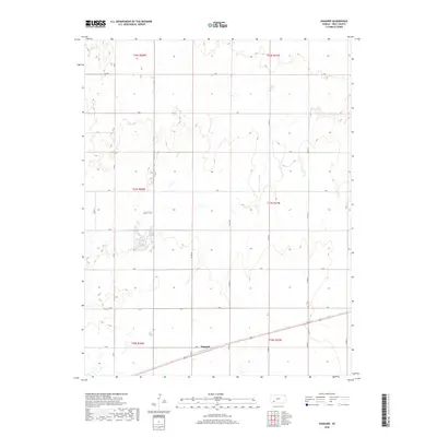
The Arkansas River serves as the central artery of this late nineteenth-century Western Kansas landscape, flanked by the Atchison Topeka and Santa Fe Railroad. Established settlements like Dodge City, Cimarron, and Ingalls follow this transportation corridor, while an early Irrigating Canal indicates the region's nascent agricultural development. Further south, the Dodge City Montezuma and Trinidad Railroad strikes a diagonal path across the prairie to reach Montezuma. This survey, conducted by A.H. Thompson and R.U. Goode, reveals a transition from the riparian activity of the river valley to the organized grid of townships such as Richland and Concord. Smaller watercourses like Saw Log Creek and Buckner Creek define the northern drainages, providing a contrast to the flatter terrain where the town of Ensign is situated.
Find a feature on this map
26 named features on this map. Tap any name to fly to it.
Don’t see what you’re looking for? This feature index may not catch every label — zoom into the map to look around manually.
Map Details
Editions of this 1892 Dodge Map
4 editions found

Historical Maps of Dodge City Through Time
55 maps found
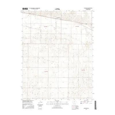
1892 Dodge
Gray County, KS
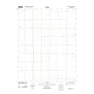
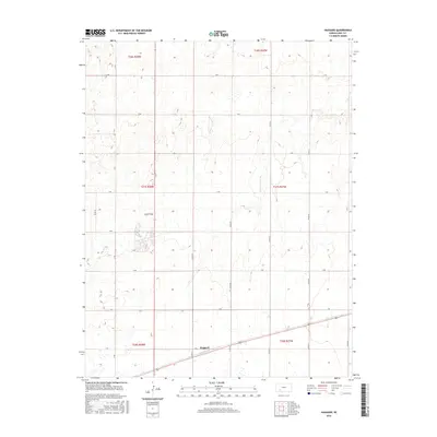
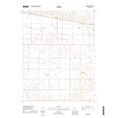
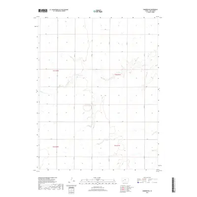
1968 Charleston
Gray County, KS
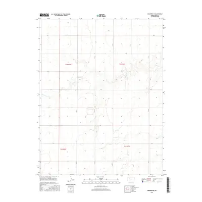
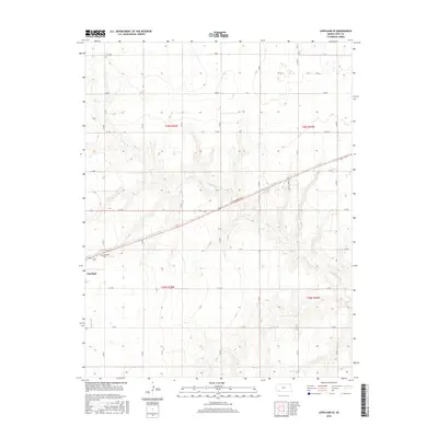
1968 Cimarron NE
Gray County, KS
1968 Cimarron NW
Gray County, KS
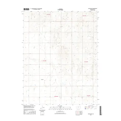
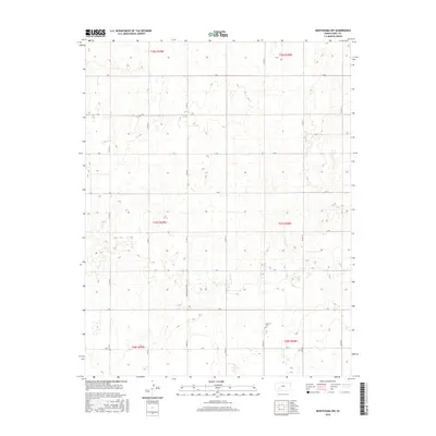
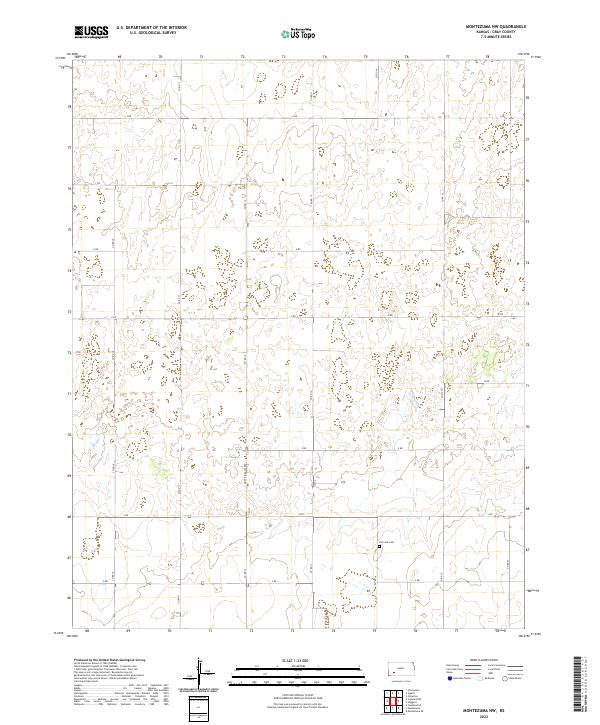
1968 Montezuma NW
Gray County, KS
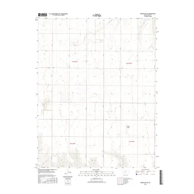
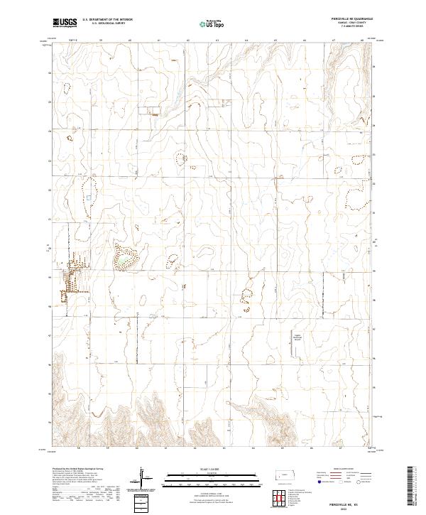
1968 Pierceville NE
Gray County, KS
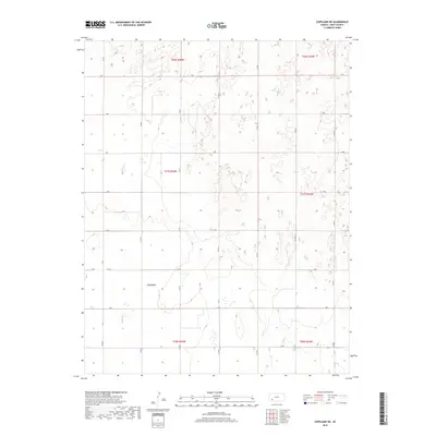
1969 Copeland NE
Gray County, KS
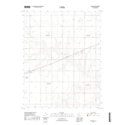
1969 Copeland SE
Gray County, KS
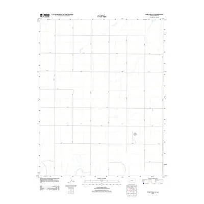
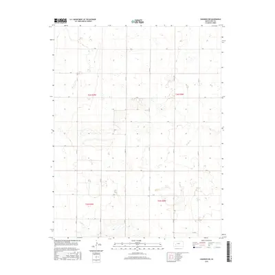
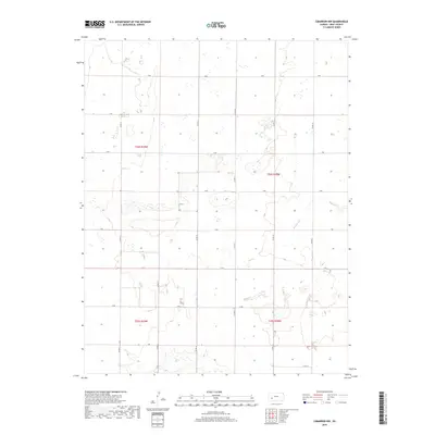
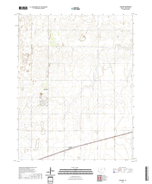
1969 Haggard
Gray County, KS
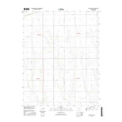
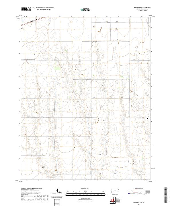
1969 Montezuma SE
Gray County, KS
2009 Charleston
Gray County, KS
2009 Cimarron NE
Gray County, KS
2009 Cimarron NW
Gray County, KS
2009 Copeland NE
Gray County, KS
2009 Copeland SE
Gray County, KS
2009 Haggard
Gray County, KS
2009 Montezuma NW
Gray County, KS
2009 Montezuma SE
Gray County, KS
2009 Pierceville NE
Gray County, KS
2012 Charleston
Gray County, KS
2012 Cimarron NE
Gray County, KS
2012 Cimarron NW
Gray County, KS
2012 Copeland NE
Gray County, KS
2012 Copeland SE
Gray County, KS
2012 Haggard
Gray County, KS
2012 Montezuma NW
Gray County, KS
2012 Montezuma SE
Gray County, KS
2012 Pierceville NE
Gray County, KS
2016 Charleston
Gray County, KS
2016 Cimarron NE
Gray County, KS
2016 Cimarron NW
Gray County, KS
2016 Copeland NE
Gray County, KS
2016 Copeland SE
Gray County, KS
2016 Haggard
Gray County, KS
2016 Montezuma NW
Gray County, KS
2016 Montezuma SE
Gray County, KS
2016 Pierceville NE
Gray County, KS
2018 Charleston
Gray County, KS
2018 Cimarron NE
Gray County, KS
2018 Cimarron NW
Gray County, KS
2018 Copeland NE
Gray County, KS
2018 Copeland SE
Gray County, KS
2018 Haggard
Gray County, KS
2018 Montezuma NW
Gray County, KS
2018 Montezuma SE
Gray County, KS
2018 Pierceville NE
Gray County, KS
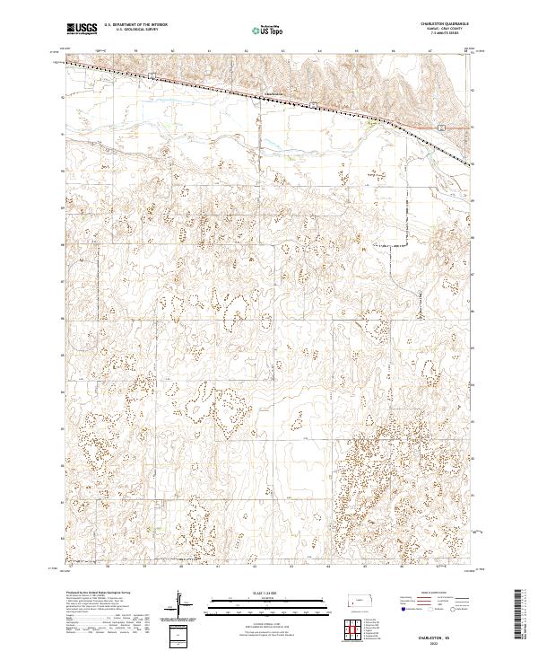
2022 Charleston
Gray County, KS

2022 Cimarron NE
Gray County, KS
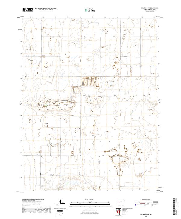
2022 Cimarron NW
Gray County, KS
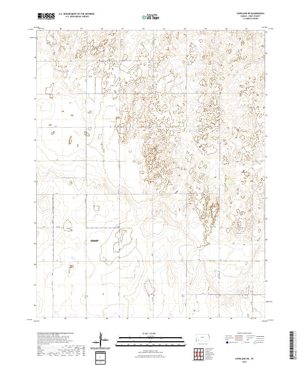
2022 Copeland NE
Gray County, KS
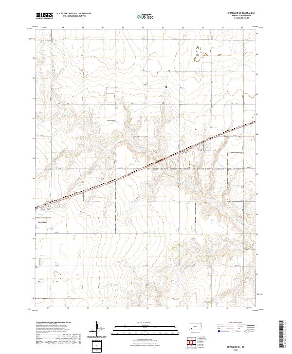
2022 Copeland SE
Gray County, KS
2022 Haggard
Gray County, KS
2022 Montezuma NW
Gray County, KS
2022 Montezuma SE
Gray County, KS
2022 Pierceville NE
Gray County, KS